Background
If you find this free trail guide useful, please provide payment by picking up at least one piece of litter on your hike. Cha-ching! Thanks for being awesome! (And here’s a quick primer on Leave No Trace, too, to help us keep the trails nice and fresh for each other.)
Background you can feel free to skip: “I’m not going to climb the tower, okay?” my six-year-old son, Evan, said before our first (but definitely not our last) trip to the fire tower at Beebe Hill.
“I’ll climb it!” piped in Zack, our four-year-old.
My wife was out of town for the weekend, so I thought I’d take the boys for an adventure, rather than sitting around the house and watching them throw iPads at each other.
“You can take a look and decide for yourselves when we get there. Nobody’s going to make either of you climb the tower if you don’t want to,” I replied.
Turns out, there was no need to worry. As soon as the tower came within sight, both of my sons broke into a sprint.
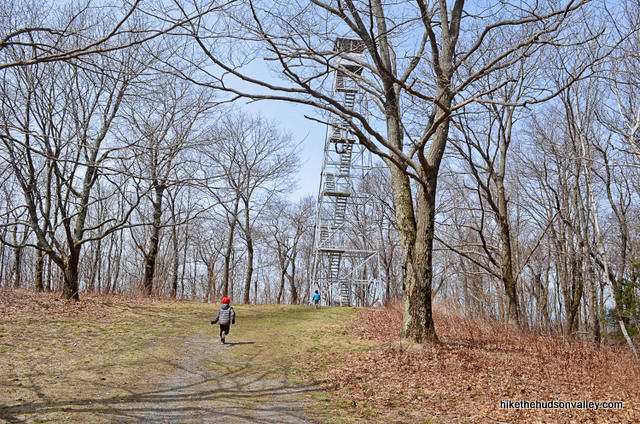
“Don’t go any further!” I yelled. They were on the first platform by the time I got there.
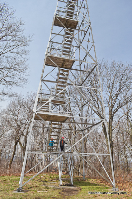
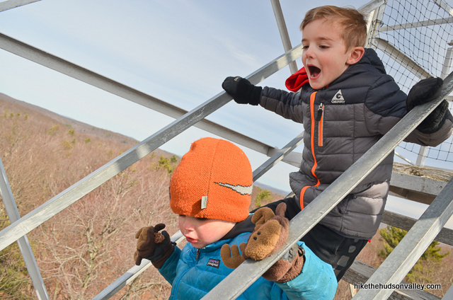
Whatever fears Evan may have had before our trip were never mentioned again. The kids just kept rounding the corner to venture up the next flight of stairs. Also, their mom wasn’t there to tell me to put the camera away and focus on the kids’ safety, so I got more pictures than usual. Huzzah!
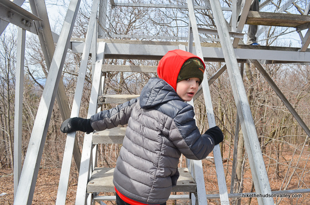
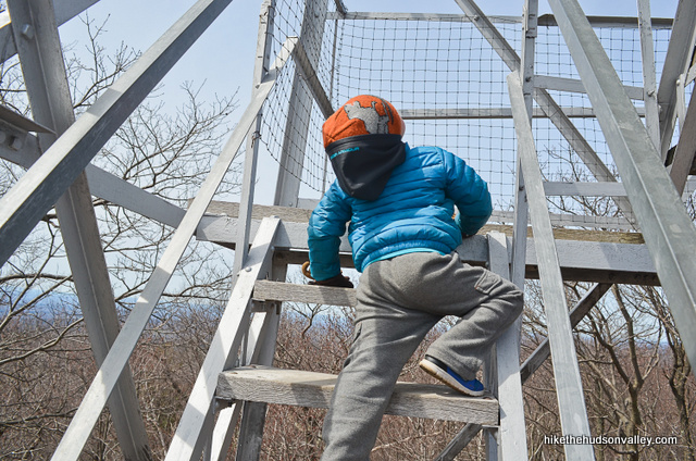
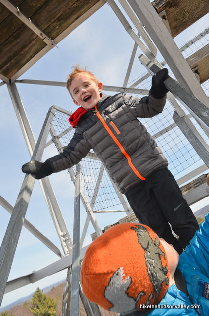
When we got to the top, man, what a payoff. You can see approximately three zillion miles in every direction.
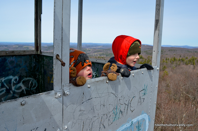
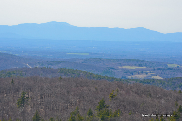
“Can we live here forever?” Zack asked.
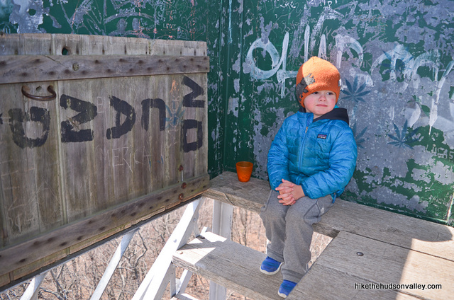
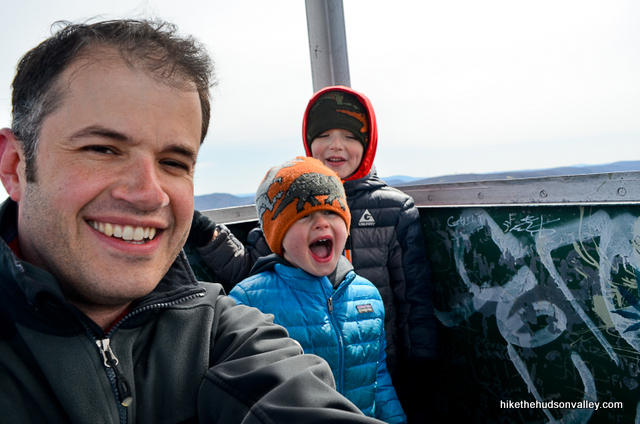
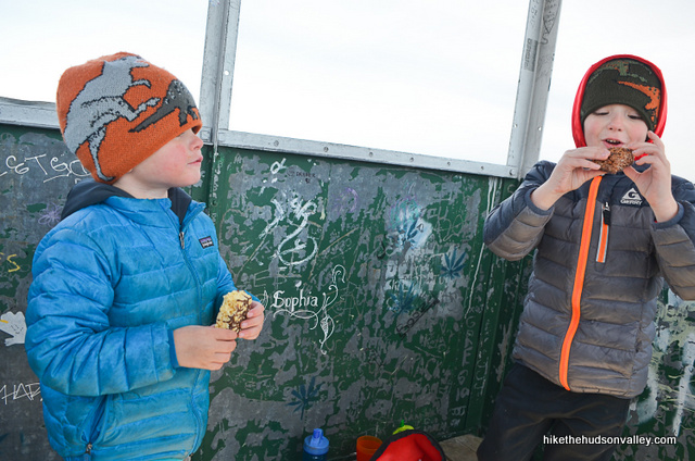
We actually climbed the tower twice, since, as soon as we touched the ground, they wanted to go back and eat more snacks up there. If we hadn’t run out of granola bars and fruities, we might still be up there now.
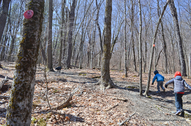
The climb up Beebe Hill is picturesque and moderate – you will know you’ve climbed a hill to get to the top for sure, but by the time anybody in your crew starts whining too much (I know this from experience), you’ll likely find that the tower is just around the corner.
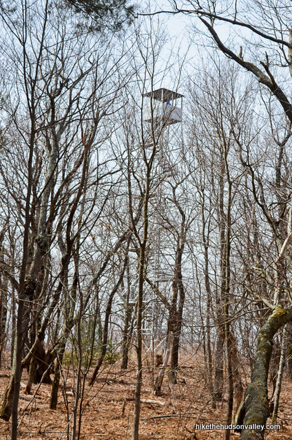
If you’ve never been, or even if you have, I highly recommend a visit to Beebe Hill. Once you see the view from that tower, you may just want to live there forever, too.
Trail Guide
Bonus unsolicited advice: Don't depend on having cell service in the woods - it can be spotty out there! Download this trail guide to your phone before you head out. (It's easy to do on iPhone and Android.) May your connection to nature be strong, even when your connection to the internet is weak.
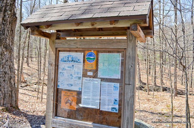
1. From the parking lot (see “Directions to the trailhead” below), head over to check out the kiosk and see if you can learn anything. When you’re ready, hop on the blue-blazed trail directly to the left of the kiosk.
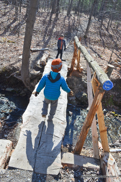
**UPDATE August 2020** Make sure you’re following those blue blazes from the get-go! One hiker reported following an unmarked trail behind the kiosk into the wild green yonder, never finding the fire tower. Be sure to cross the footbridge pictured in the next step (which is visible from the parking lot), and you’ll know you’re in the right place.
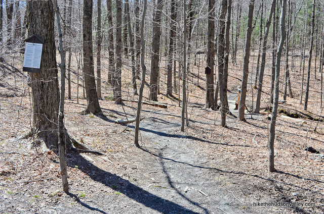
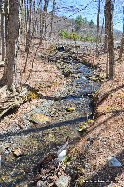
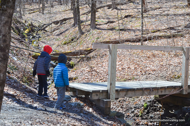
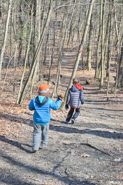
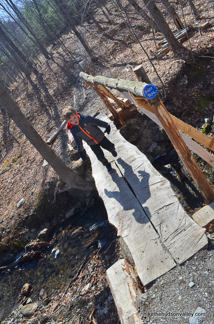
2. In just a moment, cross the sturdy little footbridge over the creek. If you’re four years old, be sure to refuse to hold your dad’s hand.
3. Continue following the Blue Trail for a minute or two before arriving at the trail register (and don’t get bucked off onto the unmarked trails lacing the area). Take a moment to log your visit here.
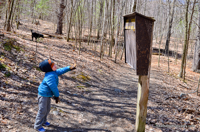
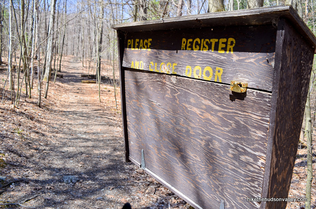
4. If you have a sharper eye than I do, you’ll notice the Red Trail joining from the left at this spot (I didn’t notice until the way back – good thing just heading straight at the trail register is the right thing to do).
The Blue Trail ends at the trail register. Stay straight and you’ll notice that the blazes are red now, like those roads around here that change names for no reason.
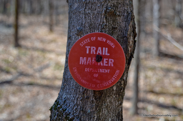
Keep following those red blazes all the way to the tower. It took us about 40 minutes, travelling at somewhat-whiny-child pace. (If you stop reading now and just concentrate on hoofing it up the hill, I wouldn’t blame you – you pretty much know everything you need to know to bust out the rest of this hike.)
5. Hey, you’re still reading! Woo hoo! I could tell you were cool from the moment you didn’t try to learn anything at the trailhead kiosk. Or maybe it’s those pants. Anyway, let’s do this thing!
A couple minutes past the register, walk across another nice little footbridge. Do not, under any circumstances, let anyone help you across.
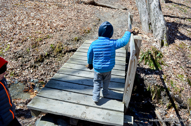
6. After the bridge, the real ascent begins. If you’re four, ask to climb into the backpack. It’s fine, Daddy’s still relatively spry. Good thing we can still wedge you in there.
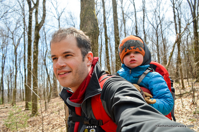
From here, it’s less than a mile to the tower, with about 350 feet in elevation gain.
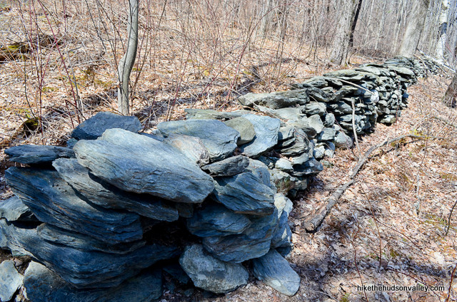
7. Keep on climbing/trudging. You’ll pass some nice stone wall action along the way.
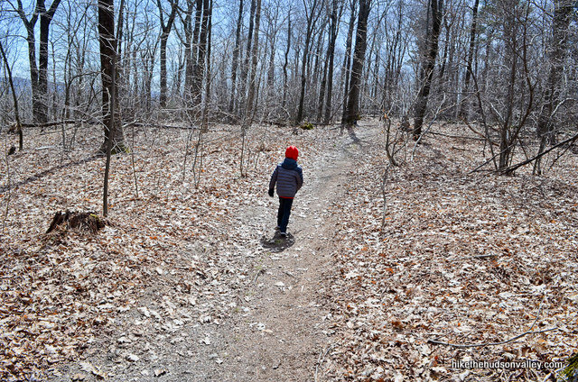
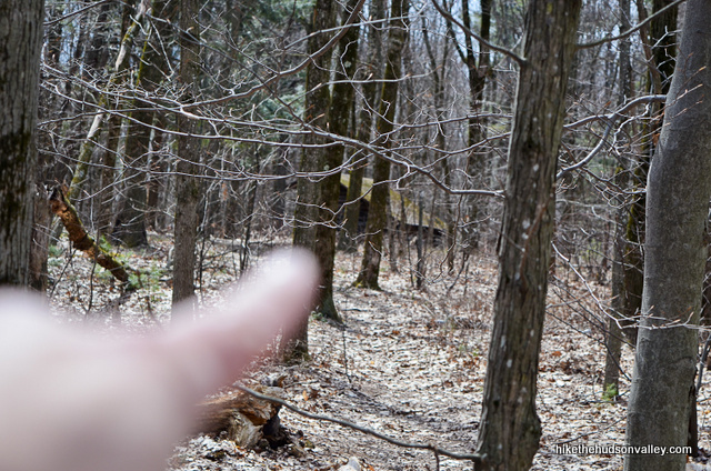
The next point of interest comes about twenty minutes after the second footbridge, in the form of a lean-to shelter. You can just get a glimpse of it through the woods at an umarked fork (the Red Trail goes right at this fork, left takes you to the shelter). Go ahead and check out the shelter if you like.
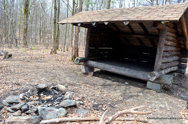
The official Beebe Hill State Forest page says: “There is also a lean-to for public use just off the summit along the main trail.” Hey, we’re the public! Looks like this thing is fair game and camping is allowed. Cool!
8. Continue along the Red Trail past the shelter for another minute and you’ll arrive at what is likely a seasonal pond.
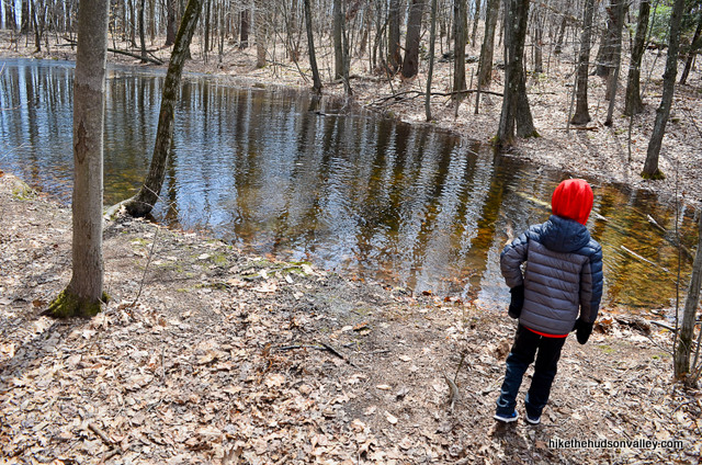
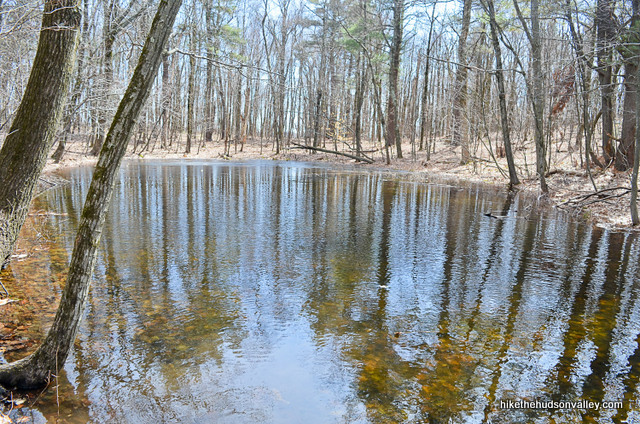
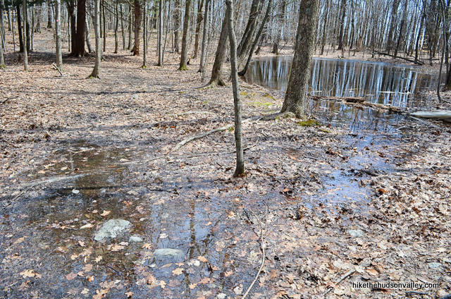
If you’re here in the spring, you may find, as we did, a short, sloppy section of trail as you pass by the pond. If you’re six years old, this will be your favorite section of trail.
9. In another moment, you may start to notice some outbuildings in the woods.
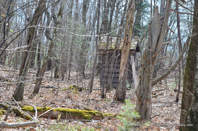
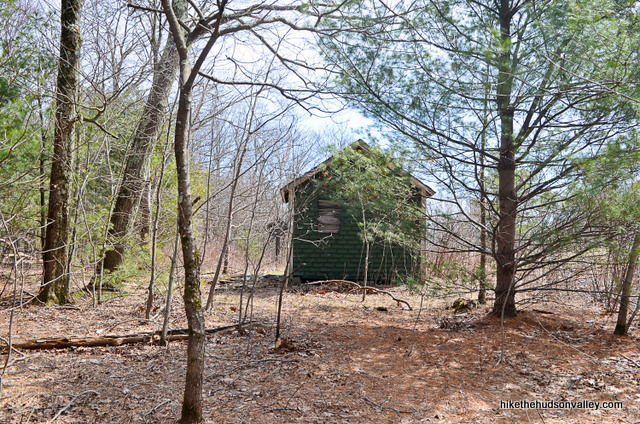
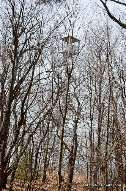
And if the leaves are down, off to your right, boom! There’s what we came for.
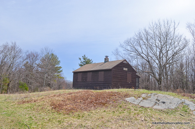
10. Emerge into a clearing with a cool-looking (but boarded up, as of our visit in April 2016) ranger cabin to your left.
To your right, the money maker. Shall we?
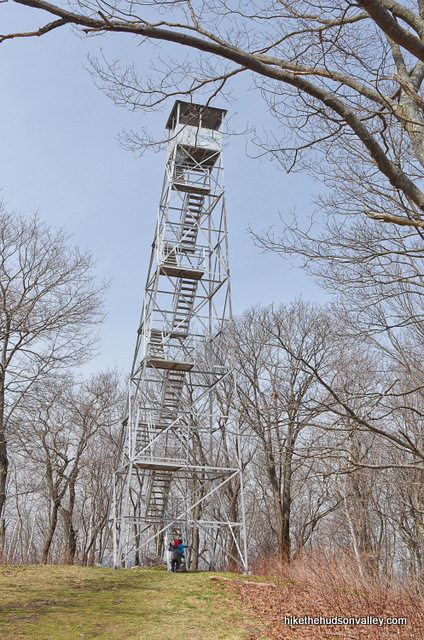
11. We shall! Let’s do this thing. If you have moose mittens, this is the time to rock them. Hard.
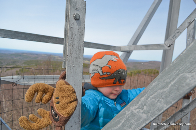
Otherwise, carefully head on up there and see what there is to see.
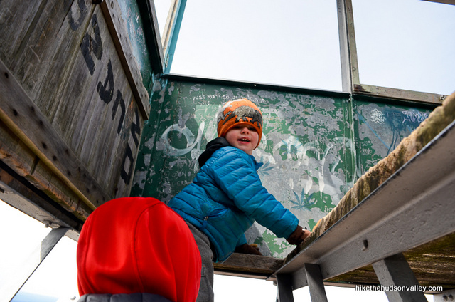
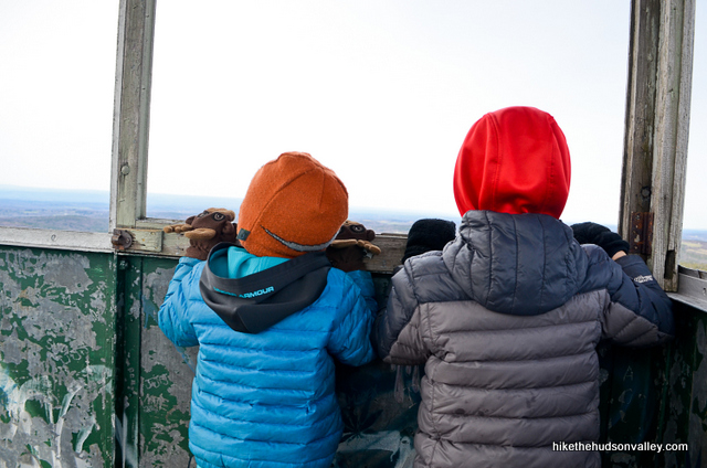
And there’s a lot to see.
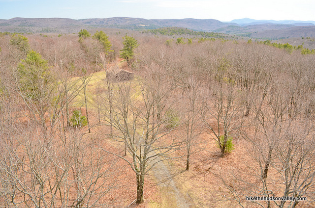
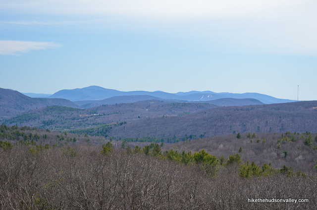
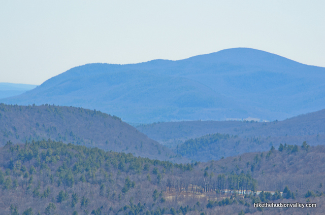
When you’re done checking out the Catskills and assorted other beautiful places (or you’ve run out of fruities), carefully head back down.
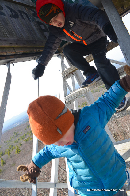
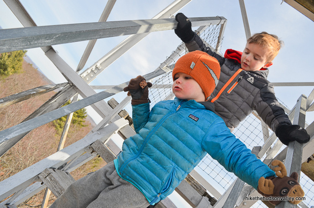
12. Retrace your steps all the way back to your car, following those red blazes (to your left just before the ranger cabin) down the hill, back to the trail register. Remember to keep heading straight at the trail register to rejoin the Blue Trail, rather than turning right onto the Red Trail (that would be a pretty silly mistake, but I’ve poured orange juice on my cereal before, so I wouldn’t judge).
Otherwise, enjoy the stroll! It took us about 45 minutes to get back to the car from the tower, with at least ten of those minutes spent running back-and-forth across the little footbridges.
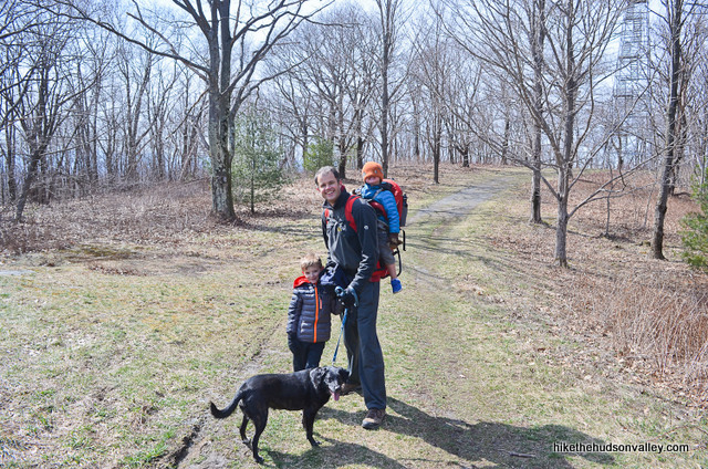
Hope you had a great time out there today! If to Beebe or not to Beebe is the question, you picked the right answer.
Directions
Directions to the trailhead: From the intersection of the Taconic State Parkway and Rt 44 (northeast of Poughkeepsie), head north on the Taconic for about a hundred years (or 40 miles) to a right-hand turn on Rigor Hill Road (it’s not a proper exit like most intersections on the Taconic, just a regular 90-degree right turn, so go slow and look alive!). In just over one mile, when Rigor Hill Road dead-ends, turn left onto Crow Hill Road. Crow Hill Road becomes South St for no reason, just keep heading straight forjust under 3 miles until it dead-ends into Rt 203 in Spencertown, where you’ll turn right onto 203 (there’s a little shortcut right turn onto 203 just before the intersection that will save you about ten seconds if you notice it in time – otherwise, you’ll pay the ten-second penalty like I did to turn right at the proper dead-end). Follow 203 for 4 miles until it dead-ends into Route 22. Turn left onto Route 22, which you’ll only be on for a few moments. In several hundred yards, bear left at the fork onto Osmer Road (Rt 5). In 1.8 miles, you’ll see the convenient landmark of Barrett Pond just off the road to your left.
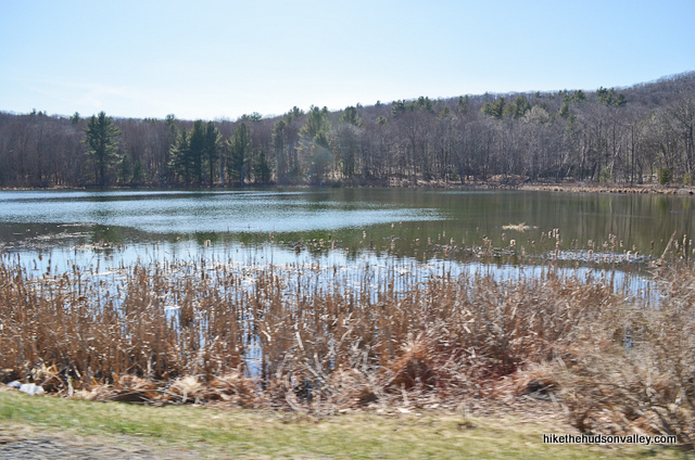
(Don’t be fooled by the Beebe Hill State Forest sign you’ll see on your right along Osmer Road, about a mile shy of the turnoff for Beebe Forest Road. It’s just there to trick you. I took a picture of it on my way back out. Nice try, sign!)
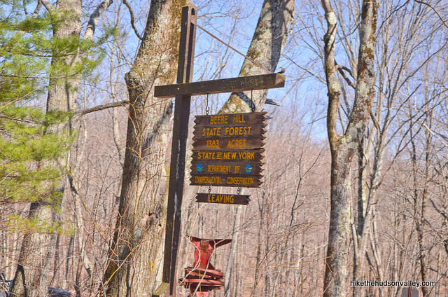
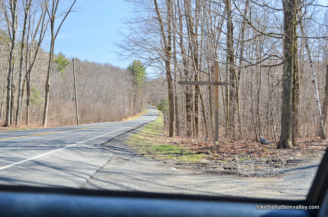
Immediately after Barrett Pond, turn left onto Beebe Forest Road. On my visit in April 2016, there was an empty signpost which presumably once held a sign to let you know you’re in the right place. Here’s a shot of the signpost when leaving Beebe Forest Road onto Osmer Road (opposite from the way you’ll approach it following the directions above).
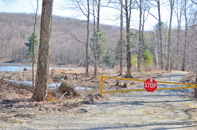
Follow Beebe Forest Road a short way until you see a gate blocking the way straight ahead, where you’ll take a right turn into the ample parking lot.
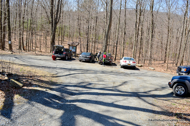
Hop out and let the adventure begin!
You can also get directions by checking out the Beebe Hill fire tower entry on the HiketheHudsonValley.com Google map.
Sorta nearby address for your GPS: This address seems to put you on the right spot in Google Maps:
Beebe Forest Road
Chatham, NY
Note: I tried putting in “1 Beebe Forest Road, Chatham NY” into Google Maps, and it dropped a pin on the far edge of Beebe Hill State Forest, waaaay far away from where you want to be. If you’re using a GPS to get here, please make sure it’s dropping a pin on the Beebe Forest Road that’s immediately to the north of Barrett Pond – you can’t miss that nice blue splotch of a landmark if you’re looking at the right spot on the map.
GPS coordinates of parking area: 42.33899, -73.4737 (Clicking will open in Google Maps or the Apple Maps app, depending on your browser/device.)
Resources & Interactives
Super-cool Google Earth flyover of hike route:
Google Terrain Map of hike route:
Alltrails recording of hike (click here to open in Alltrails app or Alltrails.com, depending on your device):
Related resources: If you’re looking for actual facts and/or useful information, visit these resources:
- The official Beebe Hill State Forest page from the NY Dept of Environmental Conservation
- A nice (succinct!) LocalHikes write-up for the same hike detailed (unsuccinctly) above
- A nearby Circle Museum (subtitled Bijan’s Junk Art) that could provide a quirky diversion, featuring “hundreds of scrap metal sculptures.” The Roadside America page provides more details, and here’s nice blog post on a friendly person’s experience there. I have no personal experience with this place, but it came up in my exhaustive Googling research, so, you know, if you’re into funky art and/or scrap metal, this could be the spot for you.
- An alternate route (and more nice pictures) from TaconicHiking.com
- A great blog post with interesting historical information (including information on the little graveyard near the parking area) on Upstate Earth
- The unofficial Beebe Hill Fire Tower Facebook page
- This cool Youtube drone video shot during peak fall foliage season
Want to support trails in the Hudson Valley? Here’s one great way: Visit the New York-New Jersey Trail Conference homepage and click on Volunteer, Donate, or Shop! (Then you can volunteer, donate, or shop, depending on your mood.)

The tower is open! We visited today and it was great. It’s one of the sturdiest fire towers I’ve ever visited!
That’s fantastic news, Kristie! Thanks so much for posting this comment here. I’ve removed the warning about the tower closure from the trail guide above. I look forward to checking out the sturdy new tower sometime soon. Much appreciated!
The Beebe Hill fire tower has been closed since 2022 until further notice (due to damage caused by high winds that created unsafe conditions), as per the NYS DEC: https://dec.ny.gov/places/beebe-hill-and-harvey-mt-state-forests#tower
Thanks so much for the heads-up, Shawn – I had no idea! I’ve updated the “Background” section above to start with a **FIVE-ALARM, ATOMIC-WEDGIE TRAIL ALERT!!!** (That’s the highest tier of trail alert, from the official rating system in my head.) Really appreciate you taking the time to share this information here, and hope it may help folks to avoid having a ruined afternoon out there. (I also hope the tower may be reopened sometime soon, seems worrisome it’s been closed for so long.) Thank you!
This was wonderful. I loved the pictures of the children. My mother was a fire tower observer and worked at this tower in 1971. We visited her in May of that year and celebrated my daughter’s first birthday in the cabin. Thanks for your photos.
Your comment makes my day, Maureen — thanks so much for your kind words! That’s so nice to know about the connection that your family has to this special place across three generations. Cool place to celebrate a birthday! All the best to you and your family, and maybe we’ll see you up there some time 🙂
The Sunday after Thanksgiving our family was hiking the trail up to the tower and then we walked down the biking trail. Just recently we couldn’t find our binoculars and that was the last we used them. We must have lost them between the tower and the parking lot. Has anyone found them???
So sorry to hear it, Barbara! Hope someone finds them and is able to get them back to you!
Mike, we found our binoculars in a bag at home that we don’t nornally use. Glad we found them. Thanks for your concern.
Barbara,
That’s great news! Glad that story has a happy ending! In case it might be helpful in the future, I find that these are the quickest ways to find a lost thing:
1) Buy a new one
2) Accuse someone of stealing it
Both methods seem to quickly and effectively turn up the original item (which is usually on the floorboard somewhere), at which time you can return the new one and/or apologize, as appropriate. In any event, thanks for following up, and many happy adventures to you and your family!
I love your website! I’ve found lots of nice trails in the Hudson Valley through this site. I believe this is the best hiking resource that I have seen. It is great for last minute hiking trips, which are becoming more frequent for me. I love having a trail guide when I don’t necessarily have time to research and do a lot of digging. I also love the map feature on this website… I can choose my destination before I choose my hike. It’s great!
I saw somewhere that you might be looking for suggestions on new hikes – I would love to see you expand the website to include other mountains in New England (or all of America if you’re expanding – haha). I noticed that the NY and Massachusetts “high points” are both close to Albany and could be good additions to this website… but selfishly, I would just love more resources for hikers everywhere, in general, so that I can use them!
Sheena, thank you so much for taking the time to brighten my day with this comment! So glad to hear that this site has been useful to you, and I will do my best to keep adding to it. First the Hudson Valley, then the world! 🙂 Many more happy adventures to you out there! THANK YOU!!!
My grandchildren and I took the trail from the parking lot DIRECTLY next to the kiosk which is the wrong one. It’s the second trail from the left that one should take. We had a lovely 3 mile hike but never found the firetower! We’ll return another day; after three miles we were ready to go home.
So sorry to hear that, Sandie! I’ve added an update in Step 1 above to make sure people look for those blue blazes to confirm that they’re on the right path. Hope that helps others to avoid the same fate, and hope you make it to the tower next time!
I’ve hiked this alone and with my family of 9 (at the time a 2yr old up to 13 and my wife and I) … my 2yr old had absolutely no problem with the hike, steep at times, but he made it just fine and slow (wish he did that last weekend across the pond over at Harvey Mt. … I guess now that he is 3, he has to be carried). This is a GREAT hike, I highly recommend it for anyone.
Made my first trek up here today – thanks for the great write-up! It’s a bit of a schlep to get there from my place, which is probably why I hadn’t heard of it until recently, but I’m very glad I checked it out. The views are pretty sweet in all directions, but one of the coolest features (IMO) is a distant silvery smudge, which, given a long enough telephoto lens and enough merciless cropping, can be resolved into the features of downtown Albany! The entire attached photo occupies less than a 2° field of view (at arms length, your pinky finger is about 1° across). I nerded out a little when I saw that.
I had no idea you could see Albany from up there — very cool shot, thanks for the sharing it (and the great info), Julian!
Had a little trouble seeing Albany today:).