Background
If you find this free trail guide useful, please provide payment by picking up at least one piece of litter on your hike. Cha-ching! Thanks for being awesome! (And here’s a quick primer on Leave No Trace, too, to help us keep the trails nice and fresh for each other.)
Background you can feel free to skip: The first time I visited Clarence Fahnestock State Park, my wife and I somehow misread the trail guide we were using and ended up tromping around for ten miles, completely lost, without ever seeing anything awesome (but seeing lots of other stuff two or three times). I knew there must be an awesome hike to be had somewhere in Fahnestock, and I resolved to find it, but I didn’t realize that goal until about seven years later, during a recent visit to Jordan Pond and the scenic fields along Perkins Trail.
This hike doesn’t have any huge overlooks to speak of, but what it lacks in money spots, it makes up for in general awesomeness. I’ve never done a hike in the Hudson Valley that had quite the feel of this one. Jordan Pond is a destination by itself, with a nice rocky bluff (complete with bench) to take in the view of the water. With horses grazing along the picturesque meadows beside the Perkins Trail later on, it seems like you might have just accidentally wandered into Kentucky. (I’ve never actually been to Kentucky, so I’m just guessing here. If Kentucky’s not awesome, then somewhere else.)
You could chop a couple miles off this hike and just do the loop around Jordan Pond, which would be a nice 2.3-mile loop stroll. I’ll point out in the trail guide below how to do that, in case you don’t want to see all the awesomeness out on the Perkins Trail.
But I’d recommend doing the whole thing, if you’re up for it. I’ve found my go-to hike at Fahnestock, and it won’t be too long before I get back here again.
**UPDATE July 9, 2014** The meadows between steps 15 and 28 below have apparently become very overgrown since I posted this trail guide a couple of years ago. See this account in the forums for a more recent account of that section. The Jordan Pond loop is still very nice, but you may want to skip a visit to the meadows unless you packed your machete. To skip the meadows, just follow the directions in Step 10 below to cut the hike shorter. Or venture out and see how they look before you make up your mind. Or follow Ed’s very nice instructions in his forum post to make this an 8-mile loop. Decisions, decisions!
**BETTER UPDATE July 15, 2014** Hiker and all-around-awesome-dude Ed reported the overgrown trails to the New York-New Jersey Trail Conference, and check out this response he received:
Edmund,
Thanks for the trail report and the excellent map. I corresponded with the Glynwood farm manager. He said that the farm normally mows this field, but they are late this year due to an equipment breakdown. They should get to it soon. If not, I’ll go out with a power brush cutter.
John Magerlein
NY/NJ Trail Conference volunteer trail supervisor for Fahnestock State Park
How cool is that? Looks like this will be sorted out very soon, if it’s not already. Thank you, Ed, for all your communications on this one, and thanks to John and the NY/NJ Trail Conference for, well, for everything, but in this particular case, for getting this section all squared away again.
Trail Guide
Bonus unsolicited advice: Don't depend on having cell service in the woods - it can be spotty out there! Download this trail guide to your phone before you head out. (It's easy to do on iPhone and Android.) May your connection to nature be strong, even when your connection to the internet is weak.
1. It’d be a very good idea to print off a copy of the official Fahnestock Trail Map before you head out for this one. We’ll be starting off on the red CB trail, heading north from the P in the center of the page. That last sentence will make more sense if you’re looking at the map.
UPDATE August 2013: D’oh! They changed the map (at least the link didn’t break – thanks, Fahnestock webmaster person!). Charcoal Burners is simply marked on the new map as an “R” for “Radical”. Or “Red”. Or both. In any event, it’s the only R trail that crosses Rt 301, so it’s pretty easy to locate.
UPDATE June 2014: D’oh Part Deux! They changed the map again. It’s actually much more readable now (perhaps it’s back to the original version?). In any event, we’re starting at the P on the red CB trail again, which you’ll see in the center of the map. w00t!
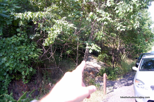
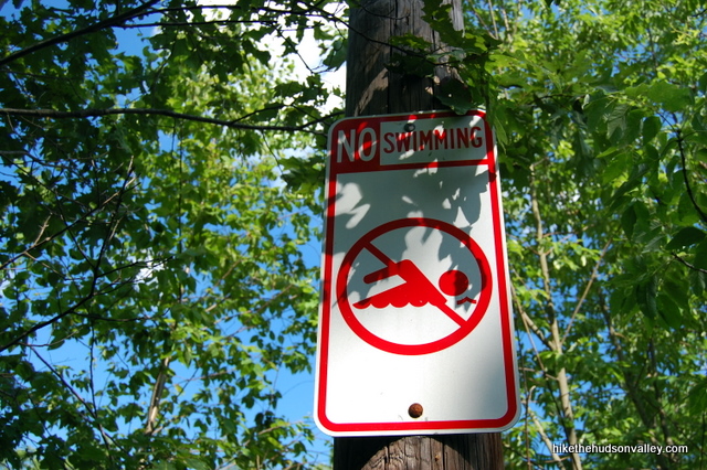
2. From the red-blazed Charcoal Burner Trail marker on the side of Rt 301, head north into the woods (a right if you’re heading southwest on 301, away from the Taconic Parkway), up a little rocky bank to start your adventure. Once on the trail, you’ll see a “No Swimming” sign on your right that will be really easy to obey, because there’s no place to swim around here for about another mile.
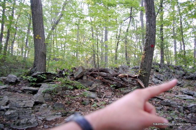
3. Just keep following those red blazes. If you notice the yellow-blazed Perkins Trail joining you from the straight/left when you bend to the right on the Red Trail just a couple of minutes into your walk, you have better eyes than I do. I totally missed it when I strolled by. You’ll be coming back to this spot via the Yellow Trail later in the day, but for now, just ignore it and bend to the right to keep following the Red Trail.
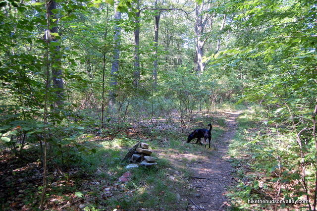
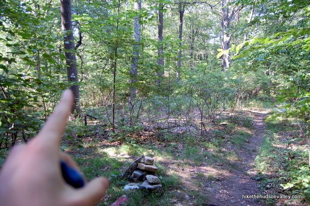
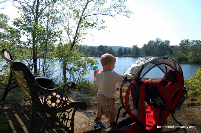
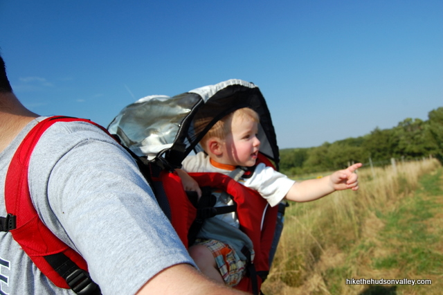
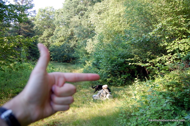
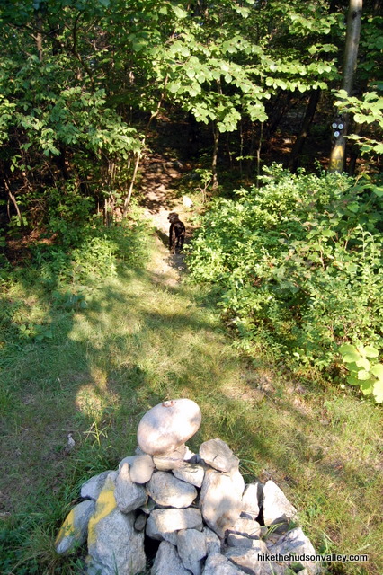
4. When you notice a small cairn (pile of rocks) to the left of the trail at the junction with the white-blazed Cabot Trail, turn left to leave the Red Trail and begin heading straight toward Jordan Pond on the Cabot Trail. It took me twenty minutes from the car to reach this junction, though my results tend to vary greatly depending on how the toddler on my back is behaving.
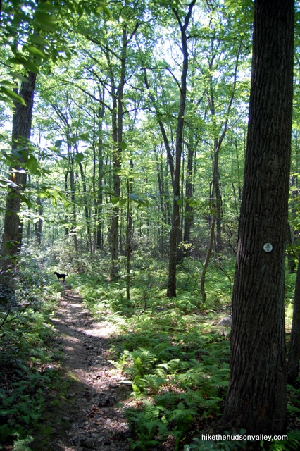
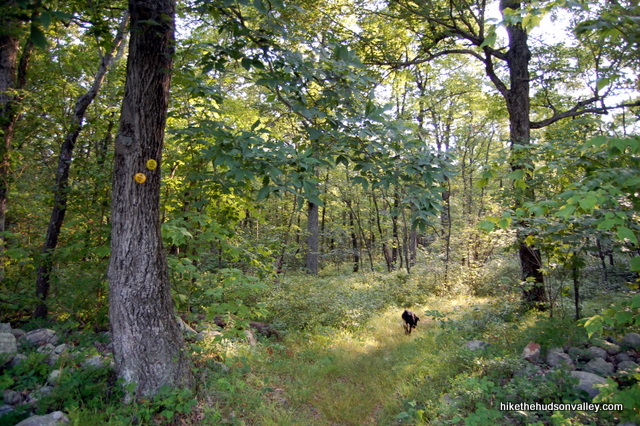
5. The White Trail meanders through some beautiful woods. About ten minutes after you turn onto the White Trail, you’ll come to a tricky fork, where the White Trail bends left, and a pile of sticks across the fork warns you not to turn right. Follow the advice of those sticks and stay left on the White Trail.
6. A few minutes after that tricky fork, you’ll notice Jordan Pond through the trees. A couple of unmarked trails head down to the water’s edge, but you don’t want to go down there just yet. (Believe me, I tried, and you’ll do better to wait a moment.)
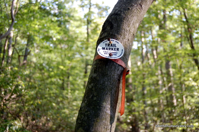
Keep an eye out for an unmarked trail heading to your right, at the base of a tree with a white trail blaze on it. At the time of my visit, this tree also had a small brown ribbon tied around it by the white blaze, though that ribbon might not be there by the time you read this.
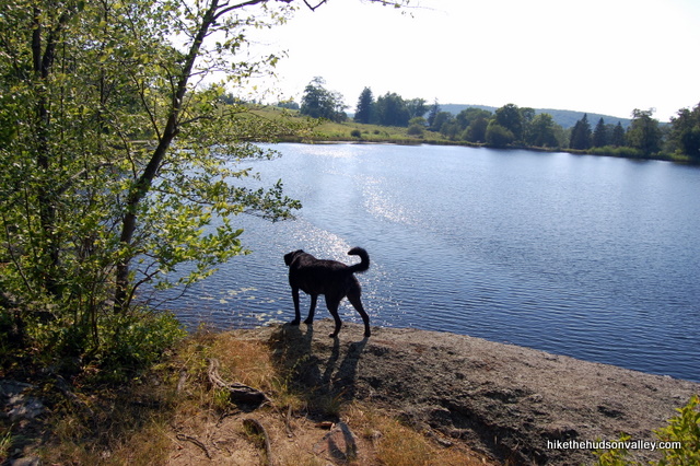
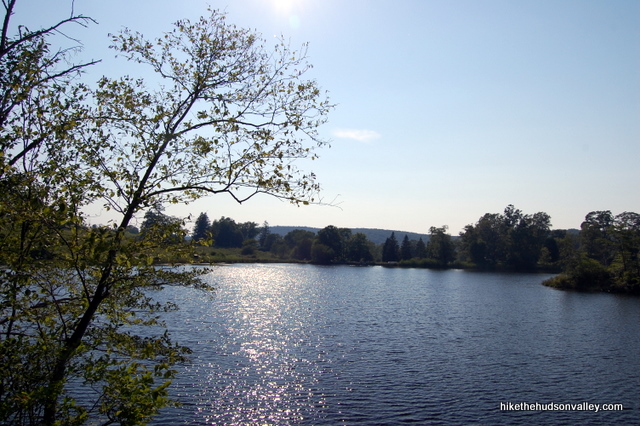
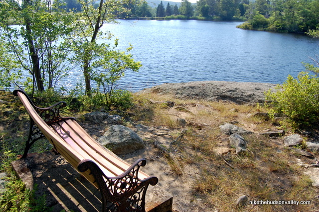
Turn right here to follow a short spur trail down to a bench-and-bluff overlook of Jordan Pond. What a nice spot.
7. If you packed a lunch or snack, this would be the place to eat it. Relax and enjoy the view. (This spot isn’t marked as a scenic view on the official Fahnestock map, but it is on the New York-New Jersey Trail Conference map. I’m inclined to agree with our NYNJTC friends.)
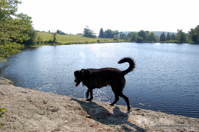
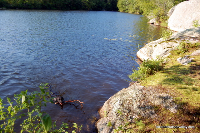
If your dog is jonesing for a dip, she can get down to the water via the little path leading down the left side of the rock, if you’re facing the water. You might need to guide her to the best launch point, since the rocks can make for a tough entrance/exit from the water. Fetch! Good girl.
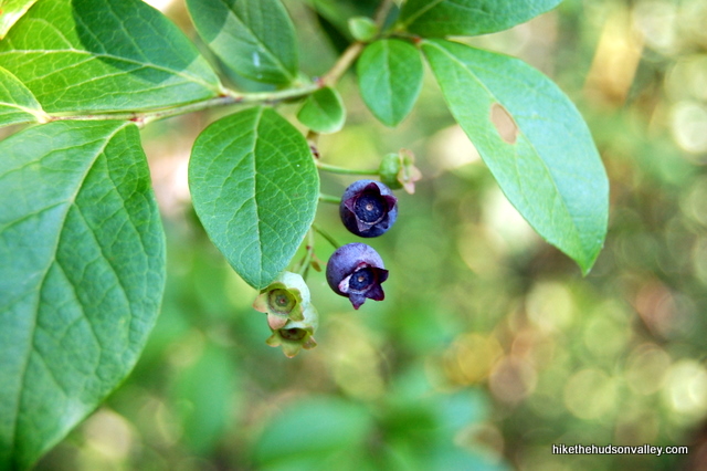
8. Once you’re done visiting Jordan Pond, take the little spur path back to the White Trail and make a right to continue the way you were heading. If you’re here during the right season and you stay on your toes, you just might find a blueberry or two (I was here on July 17, and there were a few to be found).
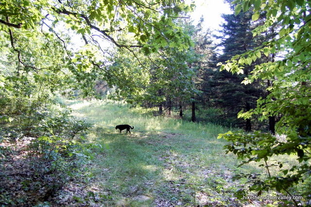
9. Continue on the White Trail as it ascends through the woods. About ten minutes after you leave Jordan Pond, you’ll pop out into a clearing and the White Trail becomes more of a country road. Bear left to stay on the White Trail here.
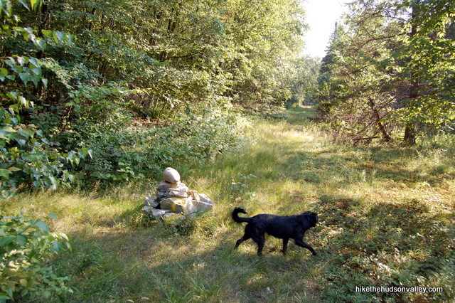
10. In just a moment, you’ll see another cairn on your left, marking the end of the white-blazed Cabot Trail. Goodbye, White Trail, and thanks for the good times!
This is your decision point. Turn left onto the yellow-blazed Perkins Trail at the cairn, and you’ll plunge back into the woods, arriving back at the junction with the red-blazed Charcoal Burners Trail in less than half a mile, where you’d turn right/straight on the Red Trail to return to your car. Total trip back from here: About fifteen minutes. If that’s what you’d like to do, hope you liked Jordan Pond, and happy trails!
If you’d like to stick with me and check out some beautiful meadows, decent views and awesome horsies, turn right/straight to hop onto the yellow-blazed Perkins Trail. This section of trail is really nice, and if you’re up for it, I’d recommend not skipping it. It’s up-and-back, returning us to this spot in 2 miles, and adding a solid 75 minutes to your hike.
It’s like a real-life Choose Your Own Adventure! For the rest of the instructions, I’m assuming you turned right onto the yellow-blazed Perkins Trail. Otherwise, you probably wouldn’t be reading this. Shall we make fun of the people who turned left?
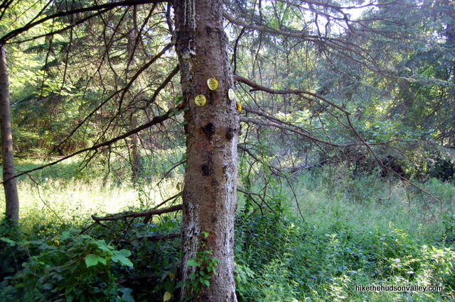
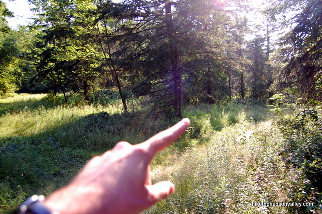
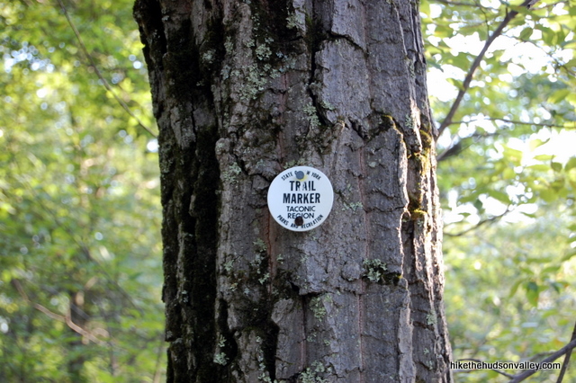
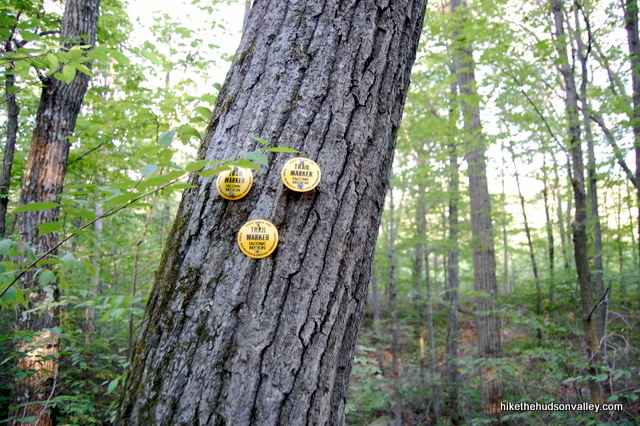
11. Continue along the Yellow Trail, singing “Country Roads” as you go. In just a couple minutes, you’ll arrive at a fork, and if you weren’t paying attention, you’d probably assume left is the way to go. A closer look at those trail markers on the big pine tree lets you know that you need to go right. Take the right fork here.
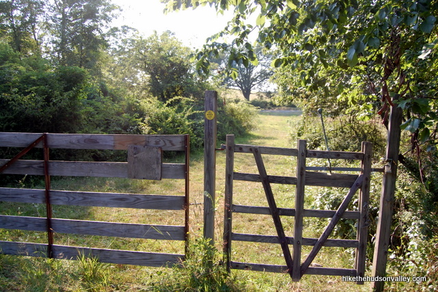
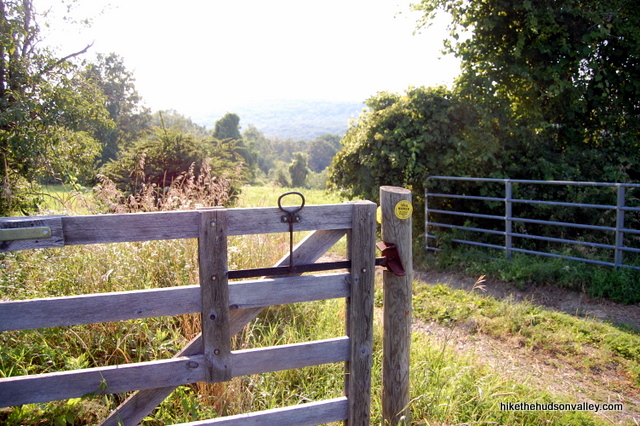
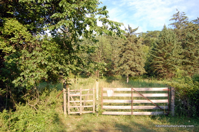
12. In a few seconds, arrive at a gate with a yellow marker on it. Carefully open the gate and close it behind you.
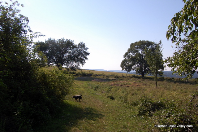
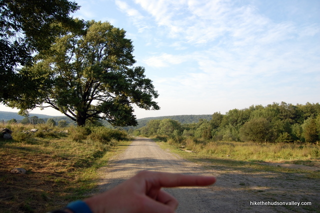
13. On the other side of the gate, a beautiful pastoral scene greets you. When you get to the dirt road in a moment (Stonecrop Lane, unmarked here), turn left to head towards the horse pastures.
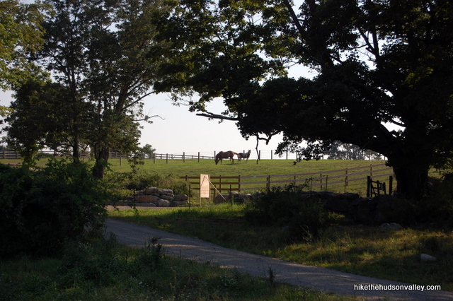
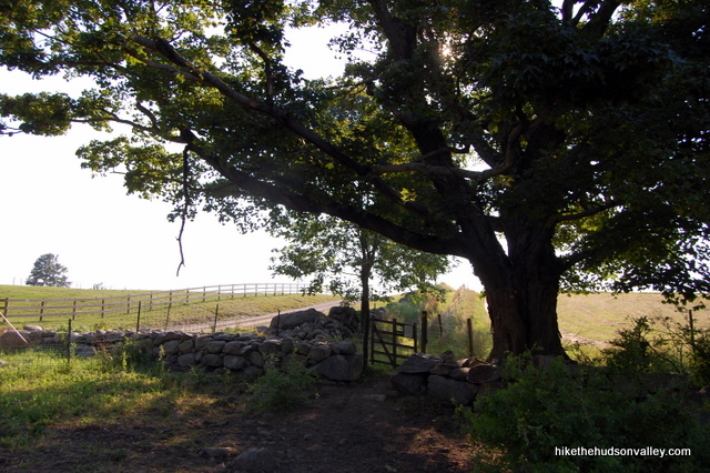
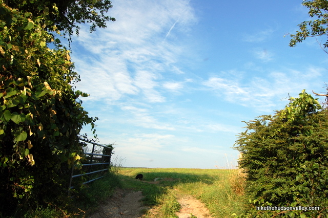
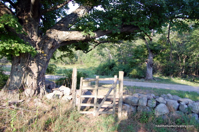
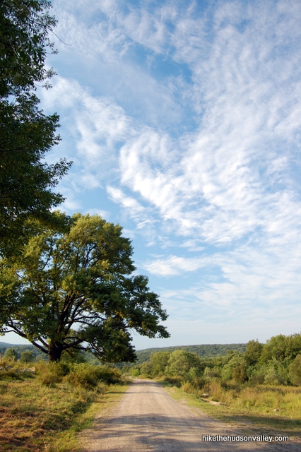
14. Just before you arrive at the driveway on your right, you’ll want to turn right to go through another gate, under a big honking tree. Keep an eye out for those yellow blazes. You’re about to walk through the property of the Therapeutic Equestrian Center, a place whose mission is “To provide therapeutic and recreational riding for physically and developmentally disabled children and adults while effectively utilizing open space for agricultural consumption by creating a sustainable green riding center.”
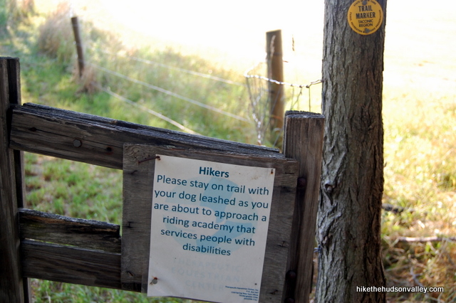
Sounds like a pretty cool place, huh? Go through the gate by the stone wall, under the big ol’ tree. Please heed the sign to stay on the trail and keep your dog leashed in this section.
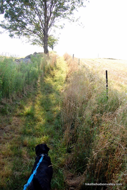
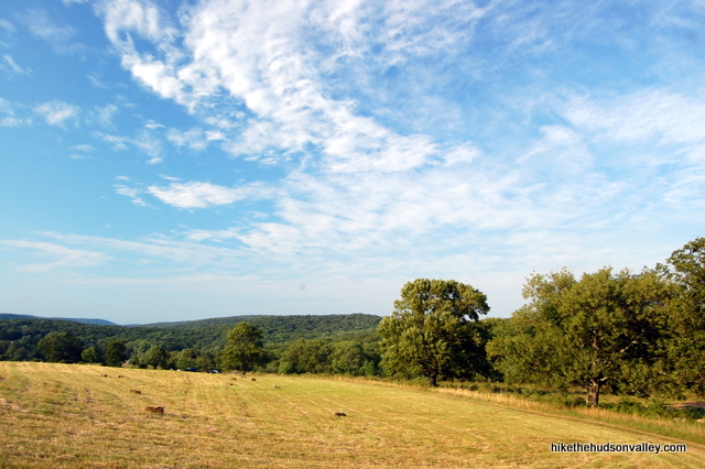
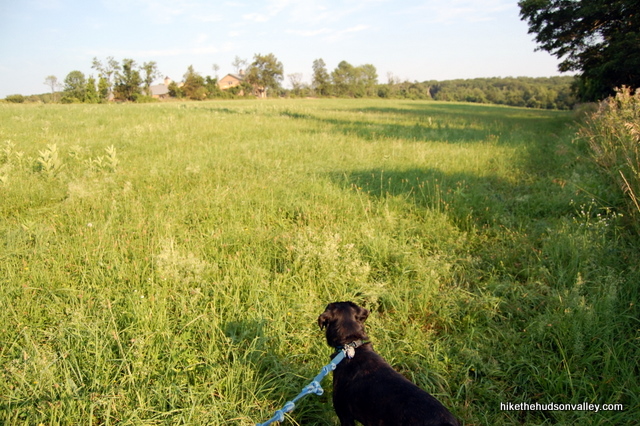
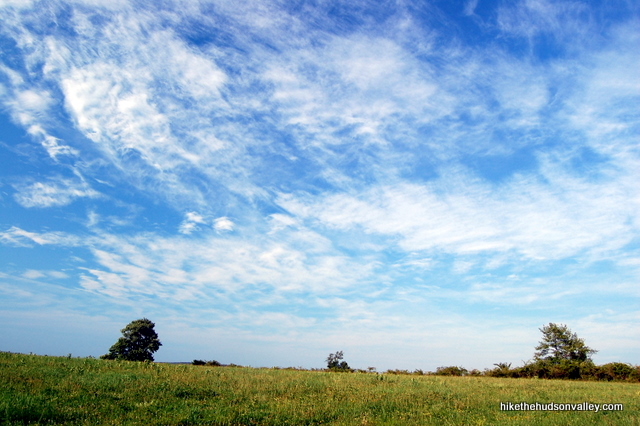
15. Head through the field, checking out the vast expanse all around you. If you’re lucky, on your left, you will see the highlight of this entire hike (especially if you’re two years old). Horsies!
And on your right, a pretty awesome view, too.
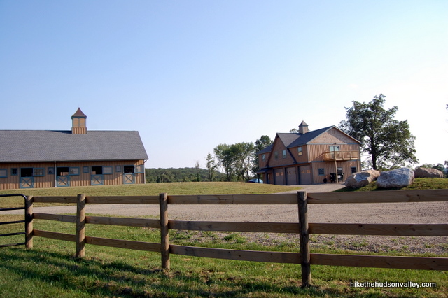
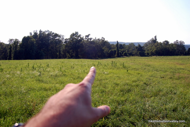
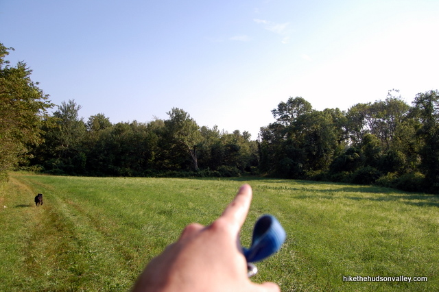
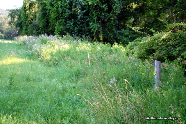
16. Keep strolling along and you’ll pass a barn complex on your left. The trail leads you straight into a meadow. Head straight across the meadow, toward the tree line. You’ll be able to see a yellow trail marker on one of the fence posts as you near the other side of the meadow.
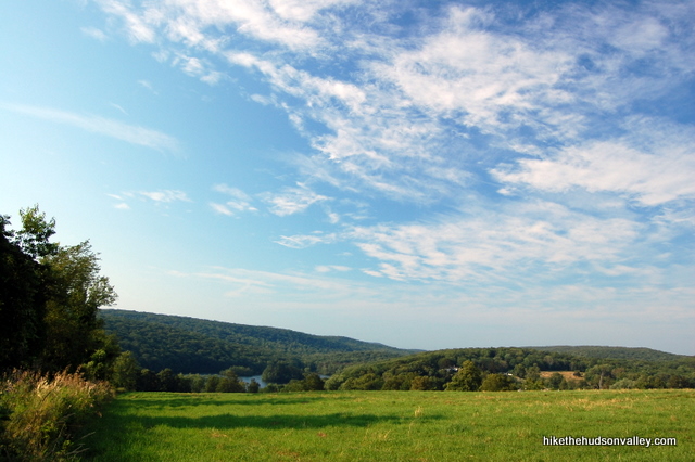
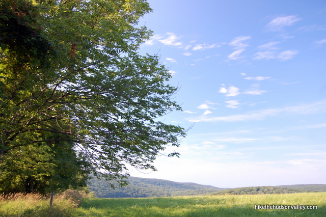
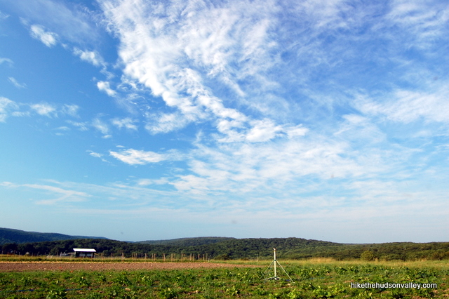
17. When you reach the fence on the far side of the meadow, turn right to follow the fence. Straight ahead you’ll see perhaps the nicest view of the day, across some hills and over a pond below. Is it just me, or is this prettier than your average meadow?
18. In a moment, take a left to go through a gate and stay on the Yellow Trail. Word of caution: The trail through the following meadows can be a little tricky to pick up at times. You’ll be fine if you’re paying attention, but be sure to pay close attention to where you enter and exit these meadows, since you’ll be retracing your steps later.
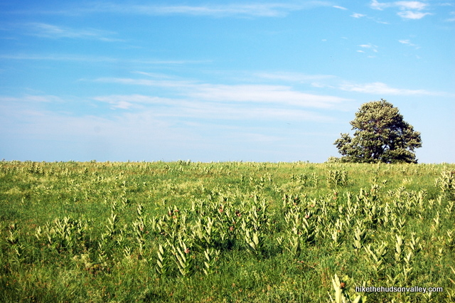
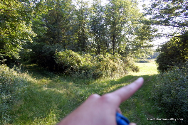
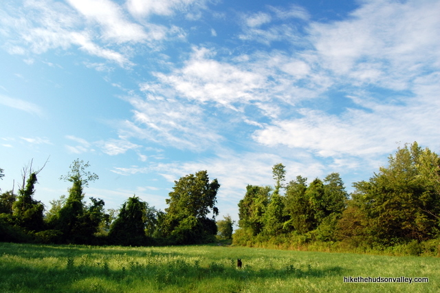
19. Look! Another meadow! You can pick up the trail again in the back-right corner of this meadow. Head straight across the meadow, or follow the trail that hugs the tree line on the left side, until you pop back into the woods on the Yellow Trail on the far side.
20. The yellow markers like to play hard-to-see here, but you’ll find them if you search hard enough, and the trail is well-worn. In just a moment, arrive at another fork, where you’ll take a right turn.
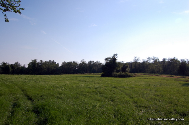
21. You’re now standing at the entrance to another beautiful meadow, with no indication of which way to go.
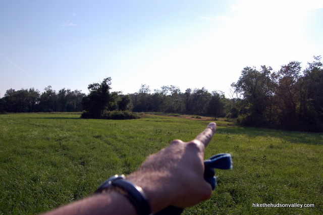
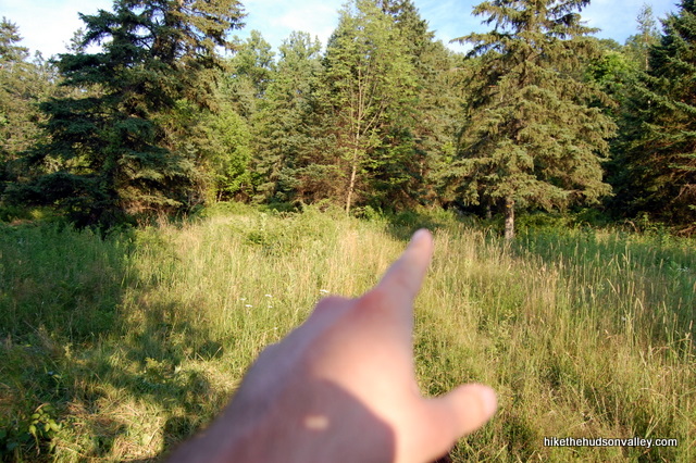
Here’s an eye test. There is a visible yellow marker on the far side of the field. See it? I stood here for about two minutes before: Bang! I found it! I’m still proud of myself. See it yet? I’ll give you another minute.
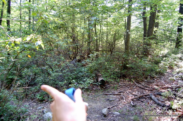
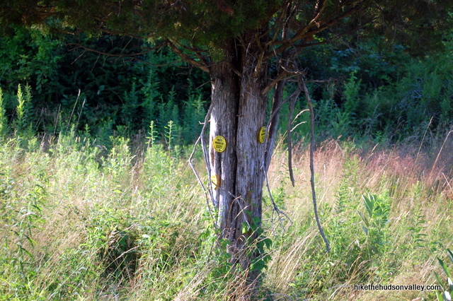
If you found it yourself, nice work, Eagle Eyes! If not, do you see the island of trees in the middle of the field? To the right of that island, there’s a small tree standing by itself with a couple of blazes on its trunk. Whether you see it yet or not, head across the field, toward its back-right corner, to the right of that island of trees straight across from you.
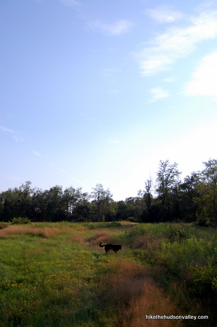
Once you see the little tree with blazes on it, you’ll pick up a fairly well-worn trail to the left of that tree, leading you across the meadow and into the woods, where the Yellow Trail plunges back into the trees through a break in an old stone wall.
22. We’re nearing the farthest point of our adventure for today. Walk for about five more minutes into the woods, following the Yellow Trail. If you notice a couple of white blazes here, just ignore them – they must have run out of yellow blazes for this section and figured white was close enough. You’ll see a mix of blazes here.
I bumped into another hiker at this spot (the only other person I’d seen for hours) who was like, “Uh, we’re still on the Yellow Trail, right?”
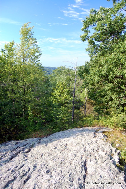
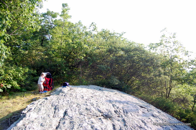
“I sure hope so,” I said, and we were. Just ignore the couple of white blazes and keep hoofing until you reach a nice rocky clearing in a few minutes with seasonal (translation: nearly non-existent) views. This spot is marked as a viewpoint on the New York-New Jersey Trail Conference map, but not on the official Fahnestock map. This time, I think I agree with our official Fahnestock map friends. Still, it’s a nice place to have a seat for a moment and take a breather.
23. If you kept going on the Yellow Trail past this clearing, you’d descend into the woods with no points of interest anywhere nearby. Instead, let’s head back the way we came on the Yellow Trail, making Seasonal View Rock our turn-around spot. Sort of an anti-climax, I know, but the meadows were pretty awesome, right?
24. Retrace your steps back across the meadows, towards the Therapeutic Equestrian Center, enjoying the views as you go.
25. When you arrive back at the gate at the entrance to the field adjacent to the Therapeutic Equestrian Center barns, make a right to hug the fence line, still retracing your steps.
26. Follow the fence posts until you reach the one with the last yellow marker on it, then turn left to head across the field, toward the barns, staying on the Yellow Trail.
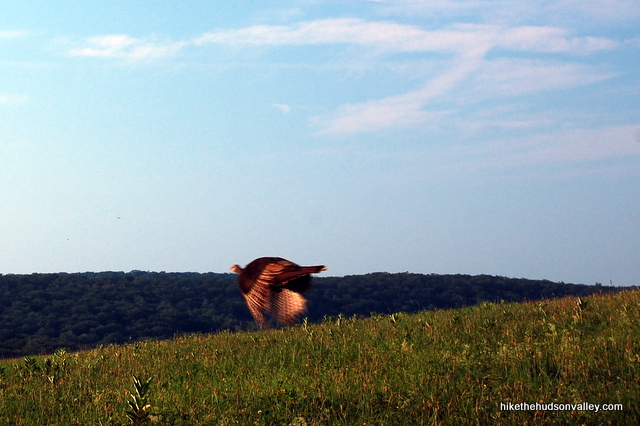
27. As I made my way across this field, a huge WHOOSH came up from the ground about seven feet in front of me, and something large lunged into the air. “Velociraptor!” my brain screamed, and my mouth yelled a word it shouldn’t have said in front of my two-year-old. Turns out, it was a turkey. Somebody should put bells on those things.
28. Keep retracing your steps – we’re heading all the way back to the cairn where the White Trail ended. Remember that place? Head past the barns, through the gate by the driveway.
Take a left onto Stonecrop Lane, then a quick right toward the first gate you went through today.
Enjoy the views (and the horsies!) as you go.
29. After you go through the original gate on the far side of Stonecrop Lane, be sure to head straight (rather than left) to stay on the Yellow Trail.
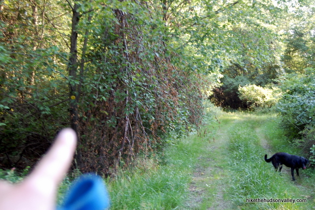
30. In a minute, an unmarked trail joins you from the right. Keep left to stay on the Yellow Trail, and in just a few more seconds, boom! Here we are, back at our favorite cairn. Take a right here to plunge into the woods, staying on the Yellow Trail. You’ll see the three white markers noting the end of the white-blazed Cabot Trail, too.
31. From the cairn, it took me eight minutes to reach the end of the Yellow Trail, where it dead-ends into the red-blazed Charcoal Burners Trail. Take a right here to hop on the Red (Charcoal Burners) Trail.
32. From here, it’s just a minute or two before the Red Trail dumps you back onto Rt 301, right next to your car. Woo hoo! Wanna go back and see the horsies again?
Directions
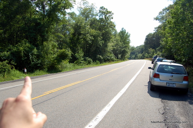
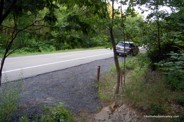
Directions to the trailhead: Heading south on the Taconic Parkway from Poughkeepsie, take the exit for Route 301 West, toward Cold Spring. Head 2.8 miles southwest on Route 301 – drive very slowly as you get close to the end of those 2.8 miles, because this trailhead is very easy to miss. Parking is on either the side of the road, and there’s plenty of room. Often, there will be other cars here, but if you’re the first one, the best identifier for the trailhead is a tiny red trail marker on a short post on the left side of the road. (There’s one on the right, too, but it’s not as easy to see.) That’s it – there aren’t any big signs here. Worst-case scenario, you drive right past it and turn around when you see the well-marked sign for Stonecrop Gardens, which is .6 miles past the trailhead.
*UPDATE June 2012*: I just drove past the trailhead and saw a nice new wooden marker with Charcoal Burners etched on it, maybe six feet tall or so. Cool! This trailhead just got much easier to find.You can also get directions by checking out the Fahnestock: Jordan Pond to Perkins Trail entry on the HiketheHudsonValley.com Google map.
Sorta nearby address for your GPS: Try this bad boy out:
1030 Cold Spring Turnpike
Cold Spring, NY
Looks like it drops you right on the trailhead. (Thank you for supplying that address, Jonah!)
GPS coordinates of parking area: 41.44383, -73.86089 (Clicking will open in Google Maps or the Apple Maps app, depending on your browser/device.)
Resources & Interactives
Super-cool Google Earth flyover of hike route:
Google Terrain Map of hike route:
Related resources: If you’re looking for actual facts and/or useful information, visit these resources:
- The NYS Parks Fahnestock State Park page
- The very nice NYS Fahnestock trail map (and if you’re willing to shell out a few bucks, you can get an even nicer one from the New York-New Jersey Trail Conference)
- A nice, shorter hike (cutting out the Perkins Trail section) described in the Putnam County Courier
- A really cool, 18-second video of time-lapse sunset over Jordan Pond.
- And another cool Jordan Pond time-lapse video. I love these things. If you’re the dude who created them, very nice work.
Want to support trails in the Hudson Valley? Here’s one great way: Visit the New York-New Jersey Trail Conference homepage and click on Volunteer, Donate, or Shop! (Then you can volunteer, donate, or shop, depending on your mood.)

We set out to do Fahnestock Jordan Pond the other day, did the red to white trail, but decided to bail at the white to yellow trail junction and head back to the 301. The trails were narrow, the shrubbery was overgrown, and there were bugs everywhere (yes, we were wearing repellent) and a real danger of Lyme disease-carrying Deer ticks. It looked like the trails hadn’t been maintained in some time. We were so bothered by the bugs that we didn’t even make it to the meadow. From previous comments, it seems that there have been times when the meadow was also overgrown and a real tick party. Deer ticks are active from May to August, so this might be a better hike to try in early spring or late fall. Take it from someone who’s had Lyme disease twice: it ain’t worth the risk. If you’re hiking in the summer, pass on this one and try one of the other great hikes on this site.
We tried this trail out today (11/25/20) and a big portion of it is closed – it looks like they’re constructing a road and parking lot for the park – about ten minutes after you leave Jordan Pond, when you approach where the farms are, there are lots of “do not enter” and “restricted signs” and construction vehicles, and the trail comes to a paved road. There was a sign at the entrance to the hike explaining there was construction but we didn’t realize it would interfere with the trail until we got to that point.
Still a lovely walk, and we doubled back and did more of the red trail to a different pond, which was beautiful. Hoping to go back next year once the construction’s done and that it’s still as lovely.
I hiked Fahnestock for the first time a couple of months ago and I really highly recommend you revisit and hike the AT all the way to the money shot at the “Lake Overlook” over the Canopus Beach Complex. Start at the Appalachian Trail Southbound Entrance and follow the white blazes marked AT trail. Warning: about a 1/3 into the trail, there is a misleading area with blue arrows along with a sign that makes you think you are suppose to follow the blue arrows to the left. Don’t do it. Keep following the white AT trail until you are almost at the north side of Canopus Lake- in that portion of the trail, there is a tree on the white trail with multiple signs and maps and a blue trail to the right. Follow the white trail all the way up to the overlook and then when you come back down, this time take the blue marked trail at the split to go to the lake/beach.
It looks like they may have again changed the web address for the Fahnestock map. This is where I found it: https://parks.ny.gov/parks/attachments/ClarenceFahnestockTrailMap.pdf
Dave, thank you so much! The NYS Parks pages drive me crazy moving their URLs around every few months, just to keep us on our toes. I’ve updated all of the map links above with the one you provided. I also updated the link to the official Fahnestock page, which had also moved. Think we got ’em all! Really appreciate the heads-up, thank you!
Mike: Your guide was invaluable, as usual. Very well marked trail overall, but I would have done exactly as you did and tried that first path down to the pond. Then, I would have walked right by the marker with the ribbon and missed that awesome overlook. The ribbon is still there (barely) and I walked down to the bluff that has the bench. Unfortunately, one of the bench planks if snapped. Awesome views and an eagle was soaring high above the pond, along with other birds of prey.
I don’t have an “eagle eye” though. Later in the hike, I definitely would have missed that tree with the markers on it that’s across the field. My inclination would have been to continue left and I probably would have never met up with the trail. Thanks for your detailed directions!
Tried to do this trail the other day, but a parking lot for hikers is being built after Jordan Pond. Maybe the trail to the meadow and the horses is still there somewhere but I couldn’t find it.
Hi!
I’m doing this hike in a few days — anything I need to bring/know about? (I already have both the official Fahnestock map and the NYNJTC map)
By the way, I found an address that you can put into a GPS for the trailhead:
1030 Cold Spring Turnpike
Cold Spring, NY
10516
Hi Jonah! You sound well-prepared! And thanks for the address – it’s perfect! I just updated the “Directions” section with that address and a link down to your comment. Sounds like the meadows on this hike can get quite overgrown at times, though I haven’t visited these trails in quite a while — would love to hear a post-trip report from you after your hike, if you’re up for it! Hope you have a nice adventure out there!
Did this hike today with the Perkins Trail. Stunning meadows which, to me, were the highlight of the hike. The purple and yellow wild flowers on the Perkins Trail are stunning, however people with bee allergies be prepared. There were thousands of bees. Not sure if they’re the stinging kind or not, but worth noting. Also worth noting, bring BUG SPRAY. I have no less than 40 mosquito bites, including one on my eye. Also of note, the trail markings near the Equestrian Farm seem to have been updated since this posting. I found the trail more than sufficiently marked. There’s even printed signs along with plenty of yellow trail markers. I did not notice the electric fence as noted by an earlier poster, but perhaps that will be a concern for those with dogs?
Did this hike yesterday, but instead of turning back at the Perkins Trail rock we continued along until the Perkins trail met the Fahnestock trail, then followed that back to Charcoal Burners, then back to the road from there. Probably an 8+ mile hike. Not sure I would say there was nothing to see, but no real views other than a few more ponds. At one point the Perkins Trail crossed a road and it was really hard to pick up the yellow blazes on the other side. Finally we did, but it was a pretty steep climb up a hillside from there.
The section beyond Topfield Equestrian Farm is blocked by an electric fence – where the instructions tell you to cross the meadow to the yellow trail marker on the other side. Someone at the Equestrian Farm told me that the meadow does not belong to them but that the fence is definitely electric and definitely switched on so basically dont mess with it. Rather disappointing and kinda outrageous that a landowner can do that.
Did this hike today with two friends (one 4 legged and one 2 legged). The trail and meadows starting at step 14 were quite overgrown and absolutely loaded with ticks. This is a great hike but may be better for the late fall season. Also posting an update on the condition of the trail marker at #6. Still there!
If you do this hike with your dog make sure you thoroughly check for ticks I’ve already found four on my dog and three on myself.
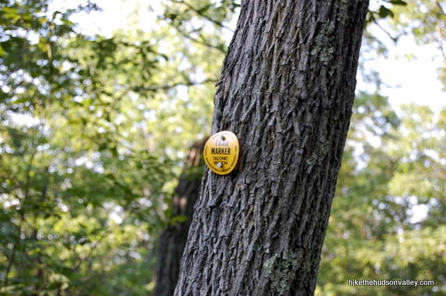
Thanks so much for this detailed guide. I took my 7 and 4 year-olds on the hike yesterday and they loved it. They loved the perfect challenge of the trail, a little harder than the more flat hikes we’ve tried so far. My 7yo especially loved the yellow trail. And the kids were impressed by the bright plastic markers. 🙂
Word to the wise: I’ve spent the morning pulling deer ticks from my dogs. Only bummer.
Thanks again! I’ve bookmarked your site and look forward to using it as we expand our hiking horizons.
Thanks so much, Meghan! Really glad to hear that you and your kids had a great day out there. Hope you have many more great adventures with them!
Thank you, thank you, thank you. I was looking for reviews on a hike I could take my 4 year old to. I decided to go with this one and it was perfect. the only difference was that rather than taking the red trail to the white one, we took the yellow one to the white one and back. unfortunately we lost your instructions somewhere between the pond and the equestrian center. and I could not remember what you had said once we got to the opening at the meadow. I took a right and the Sun was hot. we headed back a little while after. Everyone was exhausted. It was nearly 90 today. After the equestrian center we make a right on the road to rt 301, and to our car. My 4 year old was a trooper and she did the entire walk with no complaints until about 5 mins from the car. Thanks again.
Thank you for the detailed guide. I don’t think we would have found this great doggie swimming spot without it and our lab had a great time.
Awesome, Stacey – glad to hear it!
Thanks. This was great. I’m afraid the 2nd half has not been maintained..the gate by the equestrian center was locked, but we easily got around it. We only got through the first meadow and must have been the first people this year to go through there. After the lookout, I hiked back with my two girls (9& 4) they were troopers to have gotten that far and I didn’t want to be carrying anyone. Very nice hike.
Seth, thanks so much for the nice feedback, and for reporting on the current condition of the trail. Very much appreciated. It was pretty wild when I went through, too – I don’t think too many people use this route. Hopefully enough hikers will continue using it to keep a path tromped. Your girls sound like troopers – hope they enjoyed it!
Thank you so much for this description!! My friend and i hiked this trail yesterday with our 4 small dogs. It was perfect for us and for them (ok, maybe i did have to carry my very short legged dachshund through the high grass in the Little House on the Prairie meadow). The directions were perect. Every trail marker was easy to find because of you! It was fantastic!! And a really nice hike with varying terrain. Loved it!
Awesome, Sandi! Reading your comment makes me want to get back out and do this one again. Thanks for the nice comment, and glad you enjoyed it, dachsund lugging and all!
I did this hike over the weekend and it was beautiful…I was so glad to have these directions with me as I’m not sure I would have found it otherwise..I love reading about your hikes and have done a few so far. I admire you for bringing your son a long with you as well..Thanks for posting..Karen
Woo hoooo! I didn’t know if anyone was ever going to use this trail guide, and it’s such a nice hike. Glad you had a good day out there. Thanks, Karen!