Background
If you find this free trail guide useful, please provide payment by picking up at least one piece of litter on your hike. Cha-ching! Thanks for being awesome! (And here’s a quick primer on Leave No Trace, too, to help us keep the trails nice and fresh for each other.)
Background you can feel free to skip: I know what you’re thinking. Why would I ever want to visit a place called Nuclear Lake? Well, let me set your mind at ease. The only reason it’s even called Nuclear Lake (you’re going to think this is so funny when you hear it), is that in 1972, a chemical explosion blew out two windows in the experimental nuclear research lab that used to sit on the shore of the lake, blasting an unspecified amount of bomb-grade plutonium across the lake and surrounding woods.
See? I bet you thought it was something bad.
Okay, so maybe it doesn’t sound that fantastic. But the trails around the lake were extensively tested, cleaned and declared safe many years ago, and who am I to argue with all those Geiger counters? I’m sure they dumped plenty of kitty litter and sawdust on top of that plutonium. To visit the place, you’d never know anything untoward had happened at all.
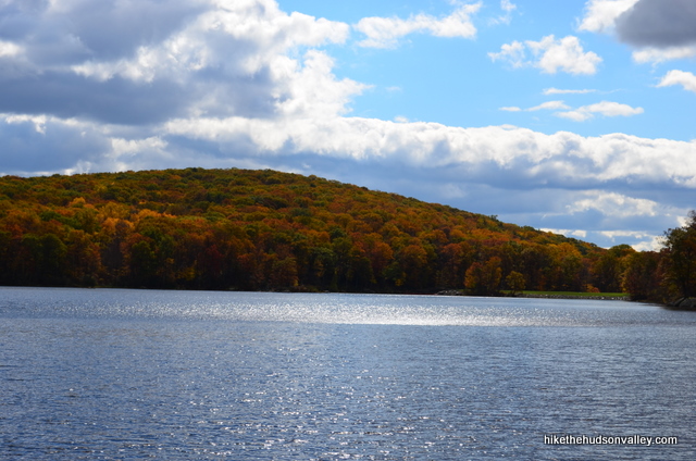
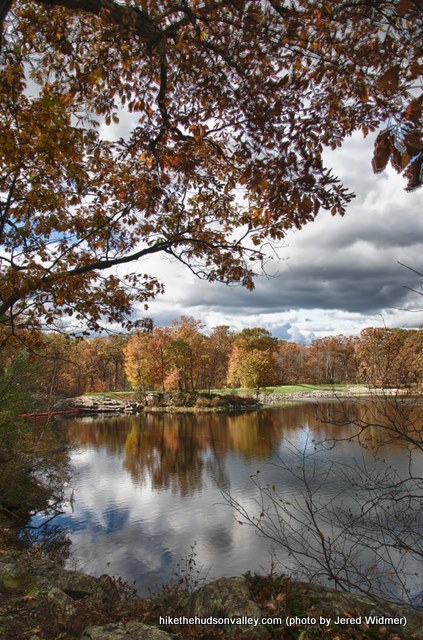
The Chamber of Commerce probably wouldn’t mention the whole plutonium thing, but it’s pretty wild that there was a nuclear research facility in Pawling, right? Who knew?
In case I’ve scared you off of the place, here’s a relevant excerpt from a 1986 Associated Press article on the accident: “The Nuclear Lake Management Committee was satisfied with tests indicating that the trail area, which is 1,200 feet from the lake, was safe… Tests of soil and vegetation in 1984 showed that radiation was no higher than normal background levels.” The buildings that once housed the lab have been razed, and you can just get a glimpse through the trees of the grassy patch where they once stood as you approach the lake.
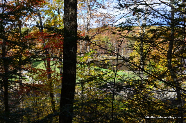
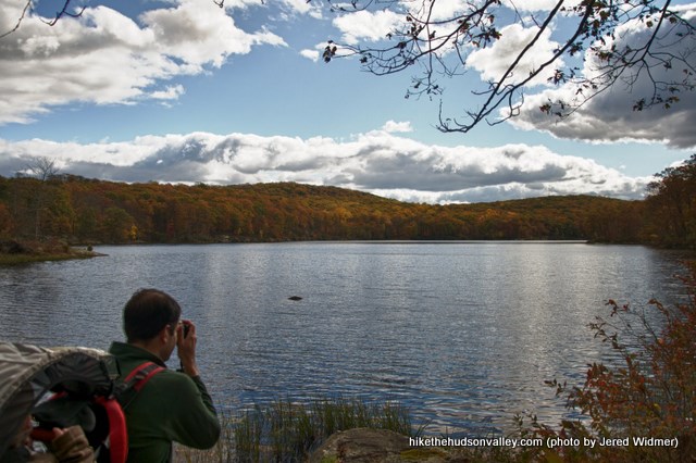
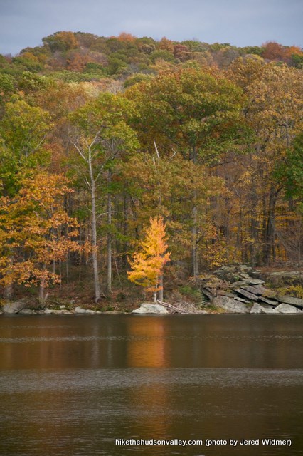
In any event, our merry band of hikers didn’t let a little forty-year-old nuclear accident keep us from enjoying a gorgeous day at Nuclear Lake, and I’ll be back again soon. Some accounts refer to this place as “easily the most beautiful lake on the entire [Appalachian] trail,” and while I’m inclined to assume a little hyperbole there, it really is a beautiful spot. (UPDATE September 2013: Per Jeff Walden’s comment below, I am no longer inclined to assume hyperbole. He really meant that Nuclear Lake is the most beautiful lake on the entire Appalachian Trail. Very cool! Take that, all you non-Hudson-Valley lakes! And thank you, Jeff!)
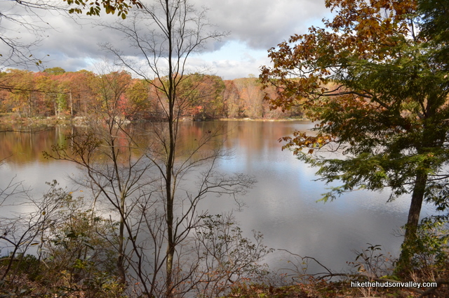
If you were feeling especially ambitious, you could continue up the Appalachian Trail past the lake, all the way to the overlook on West Mountain, commonly known as Cat Rocks. That would add another 4.0 roundtrip miles and 400 vertical feet to your day, and our band of hikers, though merry, didn’t feel up to tackling 9 miles of hiking (UPDATE May 10, 2015: Thank you for the updated mileages here, Evgeny! And apologies for my previous lowball estimate.) Maybe you’re tougher than us. If so, I’ll point out in the trail guide below how to add that extra jog up to Cat Rocks so that you can round out your day here with a nice scenic overlook. (One reason you might decide to skip the visit to Cat Rocks is that you can also get there via a much shorter approach, coming up the other side of the mountain. See the Cat Rocks write-up for directions on how to do that hike.)
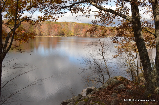
If you’re looking for a quiet afternoon strolling around a beautiful lake, you’ll have a hard time finding a more perfect spot. Come for the probable lack of plutonium, stay for the high doses of natural beauty! (I don’t think anyone’s going to let me write the brochures for this place, but really, I do recommend visiting.)
Trail Guide
Bonus unsolicited advice: Don't depend on having cell service in the woods - it can be spotty out there! Download this trail guide to your phone before you head out. (It's easy to do on iPhone and Android.) May your connection to nature be strong, even when your connection to the internet is weak.
1. From the parking area, follow the blue blazes into the woods, away from the road.
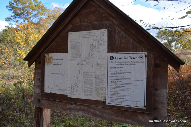
2. You’ll pass a small kiosk that has a trail map posted. Hiking tip of the day: Snap a close-up picture of posted trail maps with your digital camera. Zooming in on the map on the camera’s display is almost as good as having a paper version, and it can help get you out of a bind if you didn’t bring a map with you.
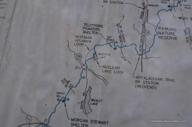
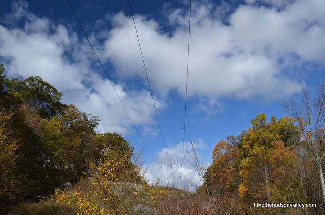
3. You’ll pass under some power lines just beyond the parking lot, then the Blue Trail ends. Turn left to hop on the white-blazed Appalachian Trail (AT) and motor towards Nuclear Lake. Remember this spot, since you’ll have to recognize it on your return trip.
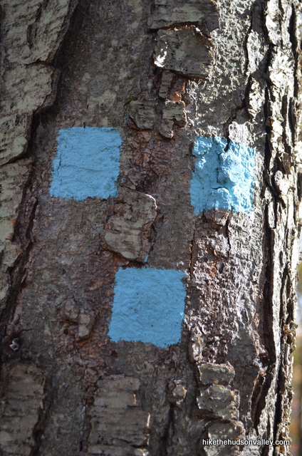
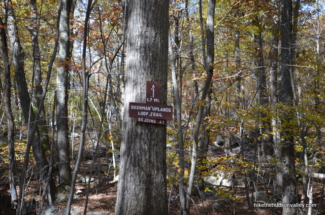
4. About five minutes after turning onto the AT, you’ll come to a junction with another Blue Trail – the Beekman Uplands Loop Trail — this one heading off to the left. Keep right to stay on the white-blazed AT.
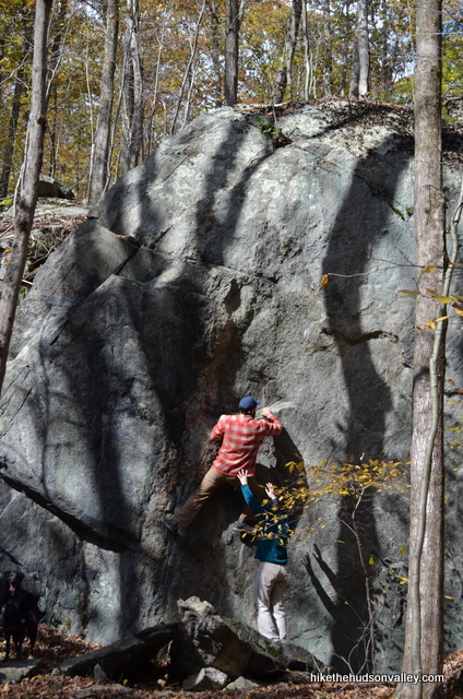
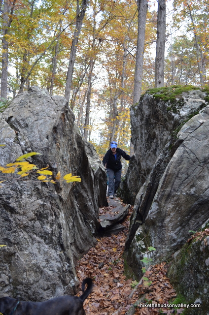
5. The trail wanders downhill through some choice woods, with large rock formations bordering your path.
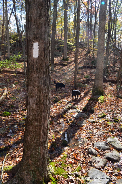
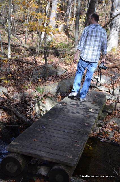
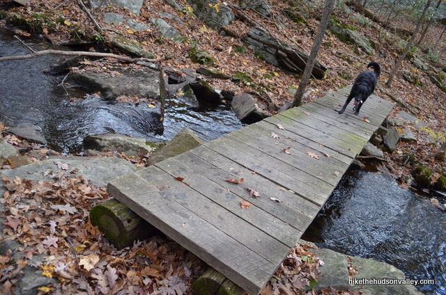
Keep chugging along for about another mile, crossing over two small wooden bridges as you go.
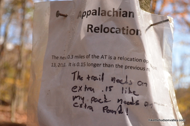
On the day we visited, some paper signs noted that the trail here had been re-routed, adding .15 miles to the Appalachian Trail. In marker underneath, a hiker wrote: “The trail needs an extra .15 like my pack needs an extra pound!” I’m guessing that hiker was going further than we are today.
6. Immediately after the second bridge, you’ll come to the beginning of the yellow-blazed Nuclear Lake Loop. Take a right turn to hop on the Yellow Trail here, and we’ll rejoin the AT in 1.1 miles, on the other end of the lake. (Keep your eyes peeled for those yellow blazes — a couple of hikers in the comments have reported that the blazes can be few and far-between in this stretch! Update 8/10/2014: This is becoming a real trend. Many people are having difficulty following the Yellow Trail here. It’s very high on my to-do list to get back out here and see what’s going on — I didn’t have any trouble on my last visit, but it’s been a couple of years. Until I get out there to take some more pictures and update this guide, you may want to stick with the very clearly blazed White Trail and just do an up-and-back hike, instead of taking the Yellow Trail loop around the lake. If you play it safe and stay on the White Trail, you can skip down to the intersection at Step 9 below, on the far side of the lake, then turn around and retrace your steps from there. Further updates coming soon(ish)!) Update 9/1/2014: Never mind! Sounds like there are some nice fresh yellow blazes out there. Thank you to Liz and Mack in the comments for the update!
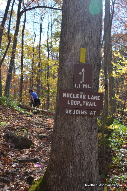
7. After being on the Yellow Trail for just a couple minutes, you’ll pop out onto the driveway for your favorite abandoned (and razed) nuclear research lab, the site of which is down the road to your left. Take a right and then a quick left to continue on the Yellow Trail, which never treads all that close to the abandoned site.
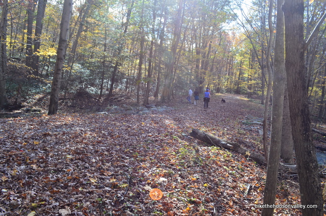
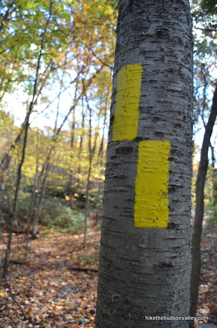
8. Begin skirting the lake, peeking through the trees at the spot where the nuclear lab used to sit. If you have a Geiger counter app on your iPhone, now might be the time to fire it up. No, no, it’s perfectly fine here. I’m almost certain.
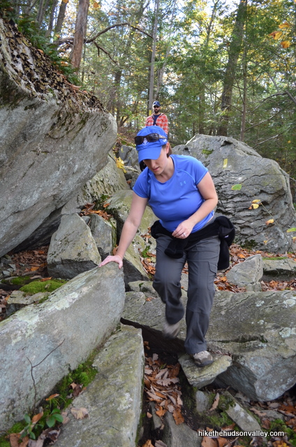
The terrain along the lake gets a little rocky. Pick your way through, following the yellow blazes and enjoying the views off to your left. Keep on hoofing until the end of the Yellow Trail, 1.1 miles from start to finish.
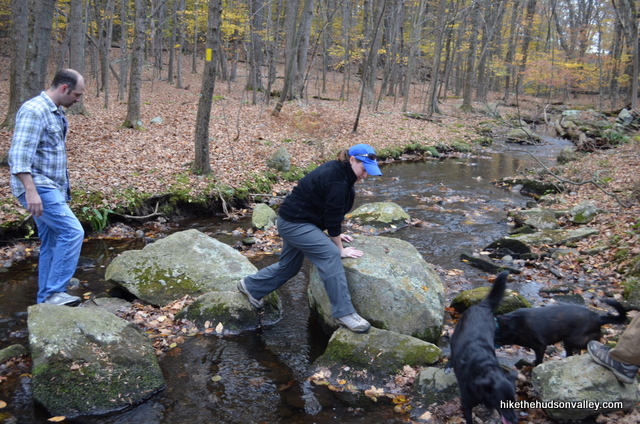
9. The Yellow Trail dead-ends back into the Appalachian Trail on the far end of the lake.
Decision time! If you want to check out the overlook at Cat Rocks, which will add 4 up-and-back miles and 400 vertical feet to your day, you’d make a right turn here to continue uphill along the white-blazed Appalachian Trail. Cat Rocks will be on your left at the top of West Mountain, down a very short, well-trod (though unmarked) side trail – if you come to the Telephone Pioneers shelter, you’ve overshot Cat Rocks by about 10 minutes (though it’s unlikely you’d go that far past Cat Rocks, since the AT heads steeply downhill immediately after you pass Cat Rocks). If you decide to tackle West Mountain, that’d be a lot of hiking for one day, but the view is definitely worth a visit. (And remember, you can always visit Cat Rocks via the shorter approach from the other side of the mountain some other time.)
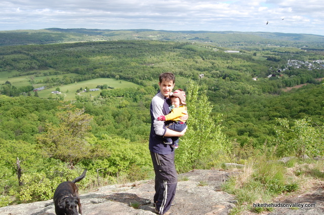
If you’re a wimp like me, though, you’ll turn left on the Appalachian Trail to continue looping around Nuclear Lake, heading back towards your car. If you go up to Cat Rocks, have fun! We’ll meet you at the next step in an hour or two.
10. Turn left on the Appalachian Trail to continue going around Nuclear Lake. Keep your eyes peeled for little unmarked side trails on your left that allow access to some choice lakeside lunch spots.
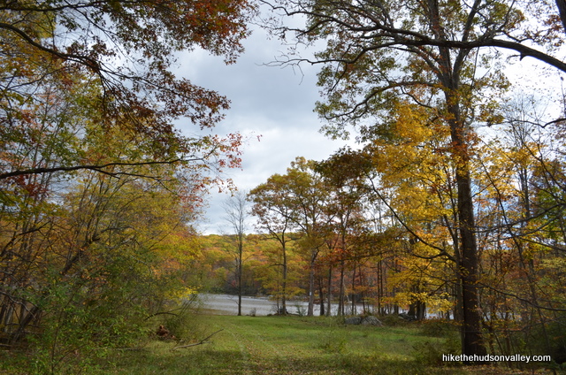
Just past a little clearing on your left, as you near your arrival back at the side of the lake where you started, the trail follows an old driveway, then splits off to the right while the road keeps going straight. Make sure you keep following the trail and not the driveway.
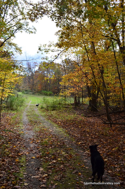
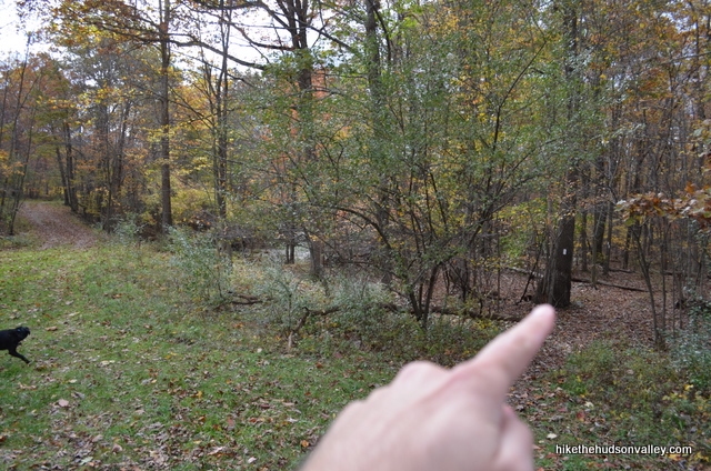
11. In .8 miles, you’ll arrive back at the junction with the Nuclear Lake Loop Trail. Keep right on the AT to retrace your steps back to your car.
12. That’s it! Follow the white blazes past the Beekman Uplands Loop, then take a right on the Blue Trail that will bring you back under the power lines and to your car. From the little footbridge right at the beginning of the Nuclear Lake Loop, it took us 34 minutes to get back to the car. Happy hoofing!
Now that you’re back at your car and reveling in your memories from the day, didn’t this hike give you a nice glow?
Directions
Directions to the trailhead: From Poughkeepsie, head east on Route 55 for about 17 miles; you’ll go past the Taconic Parkway and through the town of Poughquag. After you pass NY 216 coming in from the right, keep heading straight on 55 for about another mile. The unmarked, gravel parking area (with room for several cars) will be on your left, directly across the street from the former site of Precision Instruments at 3144 Route 55, Pawling, NY.
You can also get directions by checking out the Nuclear Lake entry on the HiketheHudsonValley.com Google map.
**UPDATE April 25, 2014** See Chris D’s comment below for information on another parking area and access route to Nuclear Lake. Thanks, Chris!
Sorta nearby address for your GPS: The unmarked, gravel parking area (with room for several cars) is directly across the street from the former site of Precision Instruments (apparently now a bait shop, perfect if you forgot your nightcrawlers) at this address:
3144 Route 55
Pawling, NY 12564
GPS coordinates of parking area: 41.58979, -73.65908 (Clicking will open in Google Maps or the Apple Maps app, depending on your browser/device.)
Resources & Interactives
Super-cool Google Earth flyover of hike route:
Google Terrain Map of hike route:
Related resources: If you’re looking for actual facts and/or useful information, visit these resources:
- An Associated Press article from 1986, with the following excerpt: “The Nuclear Lake Management Committee was satisfied with tests indicating that the trail area, which is 1,200 feet from the lake, was safe…. Tests of soil and vegetation in 1984 showed that radiation was no higher than normal background levels.”
- Video clips from a documentary about the former nuclear research facility
- Some longer Nuclear Lake/Cat Rocks hikes at nycdayhiking.com
- A fun write-up of a visit to Nuclear Lake from Scouting NY
More Nuclear Lake pictures from the hike’s Picasa album (with a special thanks to my buddy Jered Earl “Chunks” Widmer for providing many of these photos):
Was this trail guide useful to you? Please leave a comment!
Want to support trails in the Hudson Valley? Here’s one great way: Visit the New York-New Jersey Trail Conference homepage and click on Volunteer, Donate, or Shop! (Then you can volunteer, donate, or shop, depending on your mood.)

We did this hike this morning. Great trail guide. We missed the turn onto the Nuclear Lake Loop trail, not sure why as I was looking for it. Then we came to the lake and used AllTrails to get back on track. The lake is beautiful. Very buggy today.
The businesses across the road from the parking lot are now Taghkanic Woodworking and Pawling Closet Company. No longer bait and tackle shop.
Another great “Mike” recommendation. I can’t decide if I liked the hike or the narrative that accompanied the description more. If you love hiking and fishing like I do, you really can’t go wrong with this experience. The hike is easy and the lake is full of small (1 pounder) bass. It really is a great way to spend 3-4 hours on Sunday afternoon.
One thing to mention here, the Mosquitos were brutal. The Deep Woods Off I was carrying (brand new) barely kept them at bay. I’m sure this is happening on many trails across the HV due to the excessive amounts of rain we have had this summer. I suggest wearing long pants and shirts for the remainder of this summer.
Thanks so much for the kind words and helpful recommendation, Ray! The bugs have been ridiculous this year. Good luck not giving any more involuntary blood donations out on the trails!
Hi, I was wondering what the wildlife is like at nuclear lake and what are chances are of coming across the existing wildlife? Do you believe we would find ourselves having a rather inauspicious day if this was our motivation due to the inconspicuous characteristics of the fauna?
Kind regards Barry Bill
Hi Barry
I’ve hiked this trail many times and often seen wildlife. It’s not a guarantee but there is a unique local species called Patty (animus patticus notnicyeria) who is often spotted and will approach hikers aggressively. Keep your distance.
Lol
So, you mention there is still plutonium there. How much? How long can you stay in the area without being affected? If this is true, why do they let anyone hike there and why are you promoting it?
Hi, Ralph! I just re-read the trail guide above, and can’t find the reference to plutonium still being there (though there are plenty of jokes about the probable lack of plutonium, which I suppose could imply the possibility). I did include snippets and links to any relevant information I could find online, including this blurb: “The Nuclear Lake Management Committee was satisfied with tests indicating that the trail area, which is 1,200 feet from the lake, was safe… Tests of soil and vegetation in 1984 showed that radiation was no higher than normal background levels.”
That was enough for me to feel safe bringing my family there. Others can decide for themselves, of course. If you know of a reason why this area is unsafe, please share it! It’s very popular with local hikers, so if there is an issue here (from everything I’ve found, there doesn’t appear to be), we’d all want to know about it.
I appreciate your concern, please let me know if this response doesn’t address it.
Did the yellow-blazed loop today from the parking area off old 55. Several people out on a beautiful nearly-Spring day. These directions are very helpful. A number of bald eagles spotted. Everyone I passed mentioned seeing one.
Sounds like a beautiful time to be out there, Dave! Thanks for the helpful report and the kind words.
We had a wonderful hike there today! It was a bit muddy and slippery in some spots. Descriptions and directions were spot on. Thanks!
Thanks so much for the kind words, Mary! Glad to hear you had a great day out there. Here’s to many more happy adventures to you!
The entire hike, by either route, is almost entirely on two large parcels owned by the National Park Service. The only exceptions are for about 150′ near the beginning of each route where the trails cross under the power line on property owned by NYS Electric & Gas. Continuing on to Cat Rocks will take you through a few smaller parcels that are also owned by the NPS.
The first 500′ of the trail starting from the parking area on old route 55 is only about 20′ from a private parcel to the east, but the trail is unmistakable. Parts of the east shore of the lake are about 290′ from a private parcel to the east, which is a very comfortable margin for all but the most navigationally challenged. If you follow the few minor rules any busybodies you encounter can safely be ignored or told to pound sand as you see fit..
The property boundaries can be seen on the Dutchess County Parcel viewer: https://gis.dutchessny.gov/parcelaccess/parcelaccess_map.htm
Great Hike on 05/16/20! I didn’t read the guides well and did two separate hikes, first to Cat Rocks, then to the lake! Together would have been great! Not many people at all!
1/21/21
Did this 4.1 mile hike today around the lake. Your directions and details are spot on. Thanks so much for info so we can enjoy theses great hikes.
That’s fantastic to hear, Pete — thank you so much!
Great Hike! I didn’t read the guides well and did two separate hikes, first to Cat Rocks, then to the lake! Together would have been great! Not many people at all!
Lots of gunshots coming from the east side of the lake today so we stayed on the west side and did the AT as an out and back. Is there a rod and gun club nearby or just a someone on his land? The shots were happening pretty much all the time we were along the lake. Otherwise a great hike!
The Pawling Rod & Gun club is over the ridge to the northeast (I believe. No chance of problems as it is over the ridge a down always.
I am a regional author of guidebooks. Although best known for my waterfall guidebooks, I have been working on a series of guidebooks to glacial boulders and natural rock formations. The book I am presently working on features downstate New York. I was wondering if it would be all right with you to use the photograph of two hikers by a large boulder that appeared in your Nuclear Lake hike? If so, it would be helpful to know who to attribute the photograph, as well as the names of the two people in the photograph (although not as essential).
Happy holidays.
Russell
I go there all the time I’ll provide you with some photographs of that Boulder. Your talking about the one split in 2 with path running between it?
I just wanted to leave here for posterity that Russell and I connected via email and he got what he needed for his book, which will be printed soon. (Congratulations, Russell!)
I just bought Trails with Tails (2006). Can’t wait for it to arrive!
Went on this hike today, just a warning, you will have an obstacle course of fallen trees to overcome. When the yellow Nuclear Lake trail returns back to the Appalachian Trail, there are numerous large trees that have recently fallen. When navigating around them it could be easy to lose the trail, so keep a good eye for the white markers.
Those trees have been cleared.
Thank you for the update, Andrew! (And also a special thanks to the good folk(s) who did the actual clearing!)
Pingback: 2016-05-25 Telephone Pioneers Shelter – Magoo on the Appalachian Trail
Hi, just went on a beautiful hike/swim in Nuclear Lake and I upload a photo of the trails maps.
Completed this hike today with our two kids, ages 9 and 11. Lovely, easy hike. We didn’t come across any crazy lady. Plenty of other hikers, a HUGE water snake that scared my 11 year-old good (he nearly stepped on the snake as it sunned itself on the trail) and lots of frogs/toads.
My opinion of that woman is this. I’m glad she is there. I’ve talked with her and she is very nice. I feel we need someone like her in order to monitor people who go in there to keep out low class people.
Did this hike today. Wonderful. The directions are a gem and easy to navigate. The best place to approach the lake was in AT on look back just before where the white trail splits off the driveway (Pt. 10 above). Nice grassy clearing which leads to water.
CAREFUL: We came across 2 snakes (one on the yellow trail, other on the AT surrounding the lake). A brief google search indicates that these are Northern water Snakes and not venomous (we could be mistaken here), so take care and watch where you step. Being brown in color they may be bit hard to identify from far.
Pingback: The Trail Is the Teacher 21: Cooling It in Connecticut
Just did this hike today with my kids- a 6 year old, one year old on my back, and my 3 year old Rottweiler, and it was an awesome hike. I took screenshots of this guide (figured I’d have spotty service out there and I was right) and boy am I glad that I did. There were some tricky spots where we lost the trail or almost took the wrong trail. I’m doubtful that I’ll be coming back with my one year old anytime soon as it was a bit nerve wracking, but I’d love to hike this again. Added Appalachian trail awesomeness value!! And thank you for the write-up, it got me back to my car before dark.
I think the best way to do this hike is to have two cars: one parked at the AT trailhead on Route 55 and the other on West Dover Road trailhead. Start at Route 55, hike to Nuclear Lake, avoid the Yellow Tail, continue on the AT to Cat Rocks, back to the AT and down to West Dover Road. You won’t get lost and you will avoid the “crazy” lady on shady lane.
Thanks for the entertaining review of this hike! Had a gorgeous day recently here. We found the parking lot on 55 easily and appreciated avoiding said grumpy lady; too beautiful a place for grumps!
Just a quick note that the “blue” blaze mentioned is actually on the ground due to fallen tree.
I ran into the trail nazi as well. Very bizarre woman who feels the need to harass anyone who passes by. She questioned me about my dogs (are they licensed? do they have their shots?)…I simply ignored her and walked on.
is it safe to swim in?!
I’ve read that’s it’s safe for a 10/15 min. swim but I personally woundn’t!!!
Beautiful walk as long as you don’t mind being harassed by the woman to lives in front of the lake. Went there to fish & she demanded to she my fishing license (I do have one). She proceeded to say she’s Wildlife & Game but refused to show me proof. I refused to show her my license unless she showed me hers; she then threaten me saying that I’ll be sorry. Previously went for a walk there, she insisted I pick up trash that isn’t mine & followed me in her truck.
Hike into the lake via the AT (trailhead at the top of the hill west of mean ladies house ) and you’ll avoid her.
We just visited Nuclear Lake for the seventh time today and had never ran into her before today. What a pain in the neck. She harassed us walking into the trail from the parking lot and then had the nerve to drive up to the lake to see what we were doing there. This made this particular trip very unenjoyable. But yes, this was the first time we had gone in near her house and will be the last.
My opinion of that woman is this. I’m glad she is there. I’ve talked with her and she is very nice. I feel we need someone like her to monitor people who go their in order to keep out low class people.
Patty. She harassed me once in 2022 and today. Its January 4th, 2023 and 60 degrees and sunny. I park my SUV in the first spot by the road and ride my bike over to the rail trail. I never bother anyone. Today she threatened to call the police, so I encouraged her to. She is an awful person and is known here in town as such. She harasses everyone. I have seen her harass dog walkers, people with children, people portaging canoes & boats from their vehicles.
I feel like I’ve missed out on a Hudson Valley rite of passage by never having an encounter with this person. She sounds quite interesting! Hope you had a great day out there otherwise, Michael!
If you are into Geocaching, there are three caches on the yellow blazed Nuclear Lake Trail, all on the east side of the lake.
Hopefully I get to hike the appalachian trail to nuclear lake this Saturday. The shots of that area look beautiful.
We just did a big section of the AT and did both the trails around the lake they are VERY well marked and easy to follow all the way around just in-case ant one wants to venture out there
Who is the lady that lives in the house there on the access pass up to the lake? Several of my friends and myself have her inquire if we have fishing license every time we walk up to the lake. Is she there in a official capacity? She has told me I’m on her property when I walk past her house. I thought the area is National Park Land. If anyone has some info please comment as me and my friends feel harassed each time we pass her house.
Did not mean the thumbs down – I hit it by accident
Bob,
That “thumbs up” icon was a little confusing — it’s replaced with a better one now.
Thanks for the inspiration!
Mike
Oh, and sorry for ignoring the original question — I don’t have any information on issues between visitors and locals here, except that if you follow the trail guide above, I don’t think you pass anywhere near anyone’s house. Hope everyone’s having a harmonious time out there!
This is an easier alternate starting point to Nuclear Lake, at the intersection of 55 and Old Rt 55. The gated service road that goes to the lake. As Mike says, his hike description will avoid this.
Trail Nazi. She can be pleasant, but the majority of my encounters with her (4) made me wish I didn’t bump into her. She has some kind of caretaking responsibility and is overzealous and nosy. I watched her disallow a young family (mom, dad, 2 young children) from cycling to the lake. “It’s a hiking trail, that’s why”. I hike here frequently.
Her official title is parked V.I.P. but unfortunately for her she isn’t at all important. My understanding is she is in charge of cleaning etc. but I don’t believe she had any official standing. She’s a pain in the ass and threatens to call troopers etc. She’s been called The Nuclear Lake Nazi. If you notice the sign before the house it belongs to New York!!!
Hi. The woman’s name is Patty. She is in no way, shape or form an official in any capacity. She’s a nosey woman who has nothing better to do. She’s simply a local. So please don’t feel you need to appease her because you do not. If you’re following the posted rules you have no issue. We were bothered by her for the first time today. Our dog loves to swim up at the lake and she followed us all the way up and stayed until we left. It isn’t right. This area is meant to be enjoyed and not policed by some local woman. Again, she is not an official, a game warden of any sort, or a government wildlife agent.
The lady may be crazy but she is right! If you encounter her you are not on the AT. The local trail head for the AT is up the road on Route 55. You decided to take a short-cut to the lake by using the old United Nuclear access road. Park there if you must but stick to the AT trail and avoid the lady.
Before your comment, know what your speaking of!!! The lady followed/ harassing us. The trail passed through the property & is clearly marked!!!
I believe she is the wife of the former gate keeper for UNC. They prevented people from accessing the property via the main entrance, which goes right past her house. Not really sure if she has any actual authority, but she sure minds everyone’s business. Today she followed me and my dogs, demanding that I show her “poop bags”. When I refused she threatened to put me on a list. I just kept thanking her as I walked away.
My girlfriend and our pup hiked up to the lake here 2 times so far in the past two weeks. We love this hike. Start at rt 55 pack some sandwiches from the deli down the road from the trail head.. First time we had no candles or bug spray so our stay at the lase was short. Our second trip was much better with some off spray and some candles. Molly our Sheppard loves swimming at this lake. I have not gone in paste my shins but next time on a really hot day I will go for a swim. The hike is great exercise for beginners like us right when we are getting to the point of needing a break booom the lake is right there. perfect spot to sit back relax and enjoy your reward..
Is this doable with a toddler on your back? Any recommendations on hikes I can do like that? We did Anthony’s Nose last week and it was great!
Sorry for not getting back to you sooner on this one, C D! Yes, this one is absolutely doable with a toddler on your back (as you probably discovered for yourself months ago). In general, hikes with a difficulty rating of 6 or lower should be safe for baby-lugging, and you’d need to proceed with a healthy dose of caution on anything higher than that. Happy adventuring!
Hi Mike,
Today we tried to make the Nuclear Lake loop + Cats Rock. We went almost 2 miles from the intersection of Yellow Trail and AT (on the northern shore of the lake) and had to turn back never reaching the Cats Rock, cause we were afraid not to make it back until dark. When I got home I looked up what my Garmin watch recorded on the map, and it seemed we turned back just before the Cats Rock overlook. So, the “2.5 up-and-back miles” in your guide is not quite right: I’d say it is a little more than 2 miles one way to the Cats Rock.
Evgeny
Evgeny,
Thank you so much for the updated mileage here, and apologies for calculating a lowball estimate. I’ve updated the trail guide above with the correct mileage and a link down to your comment. I hope this will help future hikers gauge more accurately whether they’ll decide to tackle that extra climb. Much appreciated!
Sincere apologies, and I hope you still managed to have a great day out there.
Mike
@Matthew, The lake is totally swimmable; or, at least, I swam in it with a bunch of friends. We swam to the small island in the lake and found evidence that others had done the same in the past. Radiation exposure should be the least of your concerns.
@Noah
I hear that there is some big fish and snakes in the lake, would these pose any real threat or did they seem to stay clear of you and your friends when you left?
Thank you for the speedy response by the way, I appreciate it.
There were people fishing when I was there, but the fish are absolutely harmless—there aren’t any paranas if that is what you are imagining. Ha. You are more likely to come across a snake on the trail than in the lake. I didn’t see any snakes in the water and wasn’t concerned about there being any either. You’ll be in nature with all kinds of wild things, so just be aware of your surroundings and embrace the moment without paranoia.
Father of 6. After my 1st swim in Nuclear Lake my wife stopped getting pregnant.
Hello! Would it be safe to take a short 10-20 minute swim in the lake, or would animal life / radiation pose as a threat to me? Thank you!
Thank You Very Much for such Detailed information for ALL the hikes both East and West of this Beautiful County!!!! Great Directions and Photos. Today 10-02-2014 I took a trip to Nuclear Lake to quickly return to my car due to a Bear. A Hiker informed us that he had seen the Bear a mile up from the start of the trail from Rt 55 and suggested we turn back around. Bears!!!!! Oh My!!
Hey Peggy Im going to be passing this Part of the lake in about 2 weeks…ive heard from other hikers that they drank the water from the lake and its safe…Im aware of the shelter point past it with the water pump..but just for my curiosity curiosity is the water safe, are the animals and birds safe from drinking it, are the fish in there safe to eat…I’ve also heard from friends of friends that hunt in the area say that the food is edible…I’m just confused a little and nervous for everyone lol please please help me out! thanks again and see you all on the trail!
Just back from doing this hike with my 8-year-old. Thanks for the detailed write-ups, as we have discovered some great hikes we never would have tried on our own. We started at the lot off Old Route 55 and found the entire loop really easy and well marked, entering the yellow trail at the far (north?) end of the lake. It did look like the yellow trail had been blazed recently.
Thanks for this feedback, Mack – very helpful! I’ve updated the guide with the new information about the improved yellow blaze situation. Glad you all had a great trip!
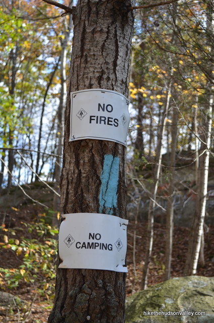
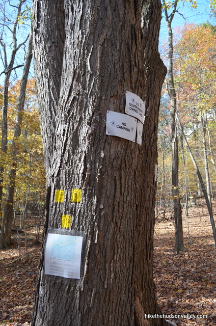
I see pictures of a posting saying “no camping”—is this referring to areas near the lake? Is this enforced?
Hi Noah – I’m afraid I’ve never looked into the camping situation around here, although I have seen overnight campers getting their gear together in the parking lot. Camping at the Telephone Pioneers shelter just up West Mountain from Nuclear Lake (aka Cats Rock or Cat Rocks, depending on who you ask) is definitely A-OK. Otherwise, obeying the signage would be a good idea – this is a popular spot, and any “No camping” signs would very likely be there for good reason. Sorry I don’t have a better answer – maybe someone more knowledgeable on this topic here will chime in!
The trail Nazi enforces this.
My boyfriend and I decided to take a chance yesterday and go for the yellow blaze loop anyway. The blazes look newly repainted and we were able to follow the trail around the lake no problem. We’re pretty new to hiking and there were a couple times when the yellow blazes seemed kind of far apart. There were also a couple times when the yellow trail was really intentionally blazed through a complicated/dangerous looking 5 feet when it was much more obvious or easy to go around (the sharp narrow slippery rocks with the fallen tree through it). Other than that we had a blast. The lake is beautiful, and the trail is fun. I super recommend it. Thanks for the guide!
I took a group of 20 teenage girls and leaders on this 5 mile hike last week for a church youth group girls camp. What a disaster!! There are yellow spots everywhere. We got extremely turned around and lost. We eventually lost the trail and bushwacked about a mile back to route 55.
Oh no! That sounds like a nightmare. Really sorry to hear that, Britt. I’m going to get back out there to see what I can do to help people navigate this stretch – yours is not the first complaint that the Yellow Trail is very difficult to follow here. (Seems like if anyone needed to mark trees around here for a different purpose, perhaps yellow wasn’t the best color choice.)
Glad everyone got back safely, but I’m bummed to hear what a rough trip you all had. I’ll get an update on this guide as soon as I can. Thanks for the feedback! I hope it can help other people avoid a similar situation.
Pingback: How To Visit New York’s Nuclear Lake (Yes, This Exists) | Scouting NY
the yellow trail needs help. At first it was only slightly below AT standards, but then it just disappeared. It didn’t help that the trees right next to the trail are painted yellow, not as a trail marker but possibly as a property boundary. It must be confounding everyone attempting it.
Hope to go this weekend.
Hope you dig it if you get a chance to make it out there! Let us know if you see Sasquatch! (According to the link in the first comment above, he apparently hangs out here. Be sure to bring your lowest quality camera so you can take really grainy, blurry pictures.)
so….we made it. almost. followed the white trail. found the yellow markers for nuclear lake. headed that way. saw the lake. but did not make it to the lake. will do again.
Good luck out there next time! I hope the trail guide above didn’t have anything to do with you turning around – please let me know if you think I need to make any changes.
Thanks Mike for the great write ups on both Nuclear Lake and Cat Rocks. I have lived in the area for over 5 years and have yet to visit either. I may just have to get off my ass and get out there this spring. The winter was TOO long and I’m anxious to get out there.
For those interested, there is an alternative parking area for the Nuclear Lake hike. The parking area on Route 55 (the place it’s across from is now a Bait Shop) is small and on a busy day can easily get jammed. If you continue East on 55, just part Rt-292 is Old Route 55. Make a LEFT onto that and just in on the LEFT is a second gravel parking area with more spaces and another information kiosk (which at one point was knocked over by one of the hurricanes). If you park it’s a brief walk up what looks like a driveway to the lake. It might even be an easier hike for some. I think this is the old access road from when it was a research facility.
Chris, thanks so much for all the good information! I updated the “Directions to the trailhead” section with a link down to your comment. My guess is that the driveway you’re talking about is the same one you’d cross over in Step #7 above – will have to check it out one of these days. Great stuff – much appreciated! Hope you enjoy getting out there soon!
Thanks for the great site! I did this hike the other day as a “through” hike. Started at the old oak tree on W. Dover Rd, hiked Cat’s Rock to Nuclear Lake and then met up with my wife who was hiking in from the Route 55 trailhead. Beautiful hike, especially with the fall foliage. One question though, there was a lot of gun shots for a significant portion of the hike. It sounded close, though I suspect it wasn’t. Is there a gun club in the vicinity? I assume the trails are safe to hike on, but just wanted to make sure, as I’d like to go back soon and do it again.
So sorry I didn’t respond to this comment when you first posted it, Chris! Sounds like a very nice day out there. Another hiker reported hearing the same sounds last October, too, and found it was due to shooting range at the nearby Pawling Mountain Club. (Here’s the brief Facebook conversation on the topic.)
I was there a couple weeks ago and the yellow trail WAS there along with the sign. It heads uphill to the right after the second bridge. After it crosses the road/driveway and heads back into the woods, it can be very hard to follow…especially over the rocks. My kids went down to the lake and we had to bushwhack back up the slope to the trail, but we did find it. We also lost it towards the end of the lake for a bit.
Thanks, Jeff! That’s very helpful, appreciate the feedback. I’ve updated the trail guide accordingly.
as of 10/14/13
step #6 is no longer valid – just stay on the white trail.
also I dont believe that they are encouraging usage of the yellow trail to go around the lake. we did it and had to make our own trail because, well. there was no trial and we only saw a total of 3 yellow markers.
we went all the way to cat’s rock and glad we did because the view was well worth it.
Peggy — thanks for the heads up! Sounds like I need to get back out here and investigate what’s going on. Did they really do away with the Nuclear Lake Loop? For the time being, I’ll put a pointer down to your comment in Step #6 above. Thanks for reporting the change!
Hi Mike (& Peggy) –
My husband and I (with our dog) went and did the loop. The yellow trail is definitely open! We had no problems finding the blazes, although some of the trail was difficult to see but only because of all the leaves. Just to note we went out on the AT and came back on the yellow…so maybe the blazes heading in the other direction are not as obvious.
Thanks for a great site….we have lived in the area for 7+ yrs and have never heard anyone mention this spot!
~BH
Thanks for helping to clear this up, BH! I’ll keep the trail guide as-is, but add a warning about keeping your eyes peeled for those yellow blazes. Much appreciated!
thanks guys, I agree with all the comments – for the first time it probably was difficult to see the trail with the leaves on the ground. Maybe the yellow trail markings just need a paint touchup. I have joined the FB page and will post some of the pics I took. Thanks!
are there any hiking clubs going to nuclear lake?
yes
Mark, it looks like you’ve got your question covered, but in case you’re looking for a local hiking group, these guys do some pretty awesome stuff: http://www.meetup.com/hvhikers/
no i didnt have it covered?
Sorry Mark, thought you’d answered “yes” to your own question up there. Check out the Hudson Valley Hikers if you’re still looking for a good hiking club — those guys always have a ton of great trips planned, and I imagine they could take a request on this one if they don’t already have one in the hopper.
For what it’s worth, I meant no hyperbole in describing Nuclear Lake as the most beautiful lake on the A.T. Such judgments are of course subjective and influenced by all sorts of external factors (the weather as I passed each lake, lighting at that time of day, what I’d eaten recently, the remaining distance in the day, and so on). But in my estimation, having hiked the entire A.T., Nuclear Lake was the most beautiful lake the entire way.
Jeff, thanks so much for dropping by and setting the record straight! I have updated the trail guide above to reflect your comment. It’s very cool to hear that from someone who has hiked the entire AT. Congratulations on that accomplishment, and thank you for sharing your thoughts here!
(Side note: Nature’s beauty is no longer subjective. I devised a scientific rating system — no more guesswork!)
(Second side note: I just got Rickrolled on your website, on the rattlesnake post, by clicking on that picture to blow it up. Nicely done.)
Today I did Depot Hill, Nuclear Lake and continued up to Cats Rock. For my money, one of the best spots is at the junction of the AT with the Lake Loop. Before you switch trails, take a minute to step out into the middle of the stream and check out the three large rocks that form kind of a cave…it looks like the one from Lost. As you head towards the Lake Loop sign you can also walk out onto said rocks. I may have done a lot of hiking today, but I ran into 3 thru hikers which inspired me to keep going.
I tried to find the trail that leads to Cats Rock, but I can’t find it? There is no obvious path or trail marker that I can see.
I made that right after the yellow trail ends, but found nothing but swamp conditions, and thick woods. No trail that I could see…nothing marked on the trees? Was I headed in the right direction?
Jim,
I’m sorry to hear you didn’t have a better experience! I just updated the write-up to make it more clear that you turn right at that junction onto the white-blazed Appalachian Trail to visit Cats Rock. I haven’t done this section of the AT (as I mentioned in the write-up, when we wimped out and turned left to head back around the other side of Nuclear Lake), but the AT is usually very well-marked and well-maintained, so my guess is that you may have ended up on another unmarked trail nearby. Could that be it? Were you trying to follow the AT right there?
I hope this helps! Let me know if you figure out exactly what happened there, and if my write-up needs to change to be clearer.
Thanks!
Mike
You have to go through the swamp to get up to Cats Rock. The elevation gain is in a few different chunks, so you never feel like you’re getting any higher. It feels further than it is. Once you DO get up to what looks like a summit (bare rocks etc.) you have to go a bit past that before the side trails appear.
We did the same hike with cub scouts for Arrow of Light 3 mile hike & also came up with 4.1 miles.
Excellent! I was getting worried about some of the measurements from my GPS. Nice to have this one confirmed. Thank you!
We tried this route on a very hot Fourth of July and had a great time. Seemed like more than 4 miles for sure, but our dog Brendan was able to take multiple swims. On one of those stops, as we sat on a rock and watched little fish swim around our submerged feet, we saw some interesting breed of geese, a beaver, and a turtle swim by. Nice find! By the way, today I picked up last month’s issue of Hudson Valley Magazine and happened to spot the article on Bigfoot sightings in the Pawling area … around guess where? Yup, Nuclear Lake. Why didn’t you warn us, Mike? See the article at: http://www.hvmag.com/Hudson-Valley-Magazine/June-2012/Searching-for-Bigfoot-Bigfoot-Sightings-in-Upstate-NY-Discovery-Channels-Finding-Bigfoot/index.php?cparticle=2&siarticle=1#artanc
I had no idea that there were so many Sasquatches running around the Hudson Valley! I’ll be sure to bring my crappiest, grainiest camera on all future hikes, just in case. That was an entertaining article — thanks for the link.
My GPS does seem to give an occasional lowball number. If anyone gets a different measurement on this hike than 4.1 miles, please let us know. I wouldn’t be surprised if it was indeed a little bit longer.
Glad you had a good day, and thanks for leaving a comment!