Background
If you find this free trail guide useful, please provide payment by picking up at least one piece of litter on your hike. Cha-ching! Thanks for being awesome! (And here’s a quick primer on Leave No Trace, too, to help us keep the trails nice and fresh for each other.)
Background you can feel free to skip: Technically, this loop probably doesn’t really qualify as a “hike”, but it’s a pleasant spot that happens to be not so far from where I live, so it’s getting included. The red trail, which is about a mile long, is a woodsy trail along a creek, and even though there are houses on the other side, the benches beside the picturesque bends in the creek make this place a very nice suburban oasis. Half the loop is paved, wandering between ball fields in a very well-used park. It’s a very nice place to visit, but if you’re looking for seclusion, you might want to try somewhere else.
Trail Guide
Bonus unsolicited advice: Don't depend on having cell service in the woods - it can be spotty out there! Download this trail guide to your phone before you head out. (It's easy to do on iPhone and Android.) May your connection to nature be strong, even when your connection to the internet is weak.
Trail guide:
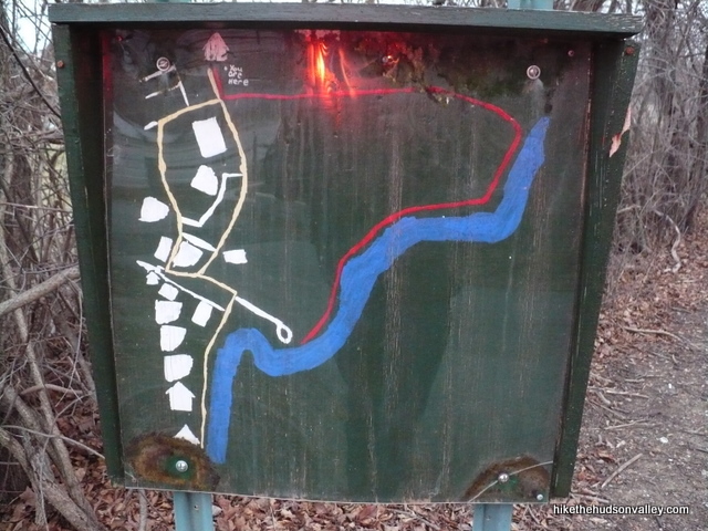
1. From the parking lot at East Fishkill Community Center, head towards the paved trail and take a look at the green map to get your bearings. I appreciate that there is a trail map posted here, too. It looks like one of Rand McNally’s very early works.
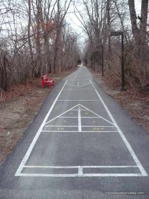
2. Head straight down the paved path, walking directly over the shuffleboard court, unless there are people playing on it (there won’t be). If you brought shuffleboard equipment (perhaps you’re on your way to a cruise?), have at it! If not, you’ll have to entertain yourself with plain old walking for the next 40 minutes or so.
3. After a couple hundred yards, take your first right, continuing along the paved path that cuts towards some sports fields.
4. In about a hundred yards, the paved path dumps you onto a residential street (Anne Ave.). At this point, you might be thinking, “Dude, what am I doing here?” Have no fear. Hang a left onto Anne Ave. and walk past a few houses. You’ll re-enter the park in just a moment.
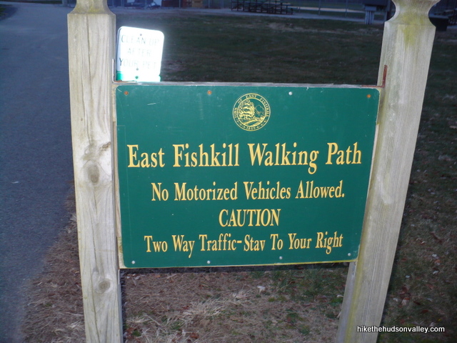
5. At the cul-de-sac on Anne Ave, follow the big honking “East Fishkill Walking Path” sign to re-enter the park.
6. Keep straight on this path. At the fork with the large picnic pavilion in front of you, keep right, close to the tennis courts.
7. When you get to the long bathroom building, go around to the right of it (unless you gotta go, in which case follow the gender-specific directional indicators), heading slightly downhill to the gate with the nice little creek-lined picnic area behind it.
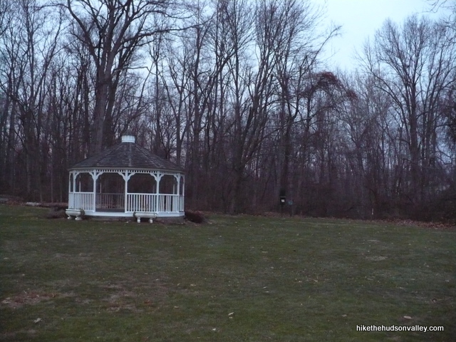
8. Venture into the picnic area and walk along the creek. There are some nice little ripples in the water here. To the right of the gazebo (where it looks like you should hold an old-timey political rally), you’ll see where the red trail starts. Hop on that bad boy.
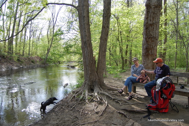
9. Follow the red trail along the creek. You’ll see a couple of benches along the way that beg to be sat upon. If you’re game and they’re empty (they often aren’t), why not sit upon them for a bit? It’s even better if you thought to bring a baby and some proud grandparents along.
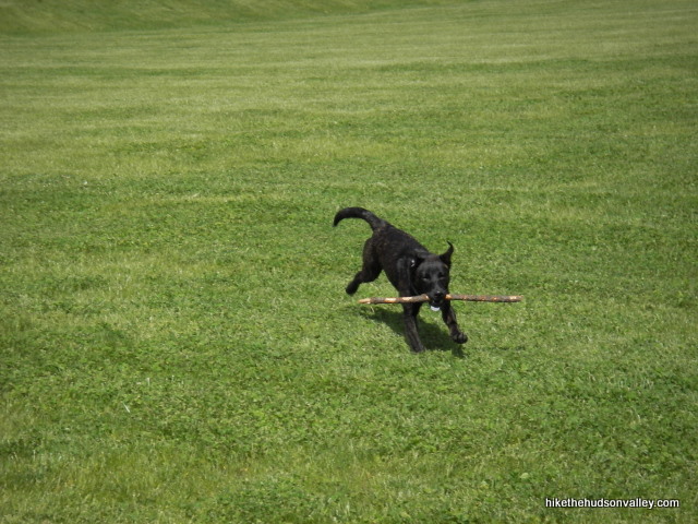
10. The red trail pops out onto some soccer fields. I’ve never been here when a game is going on, but if there’s one when you’re here, you should probably resist the urge to streak it. Walk the entire length of these fields, up the little hill to the dirt parking lot. If you brought an adorable puppy that you don’t remember ever being that small, take a picture.
11. On the other side of the dirt parking lot, you’ll find the paved trail where you started. Turn right onto that trail and you’ll be back at your car in just a moment, kicking yourself once again for forgetting your shuffleboard gear.
Directions
Directions to the trailhead: From the intersection of Rt. 376 and Rt. 82 in Hopewell Junction, take Rt. 82 north for a few hundred yards. Turn right into the East Fishkill Community Center, and park in the back-right corner of the parking lot, near the paved trail that heads into the town park.
You can also get directions by checking out the East Fishkill Rec Park entry on the HiketheHudsonValley.com Google map.
Address for your GPS: This trailhead has its own address. Wahoo!
East Fishkill Community Center
888 Route 82
Hopewell Junction, NY 12533
GPS coordinates of parking area: 41.58113, -73.80485 (Clicking will open in Google Maps or the Apple Maps app, depending on your browser/device.)
Resources & Interactives
Super-cool Google Earth flyover of hike route:
Google Terrain Map of hike route:
More East Fishkill Recreation Park pictures from the hike’s Picasa album:
Want to support trails in the Hudson Valley? Here’s one great way: Visit the New York-New Jersey Trail Conference homepage and click on Volunteer, Donate, or Shop! (Then you can volunteer, donate, or shop, depending on your mood.)

I’m glad you included this in here, Mike. Even though I live a short distance away, I never would have thought to explore this park. The hike is slightly less strenuous than say, Breakneck (lol), but the dog and I had a lot of fun walking along the creek and he had more fun playing in the water. Thanks to the Boy Scouts, they’ve upgraded the map at the entrance. Rand McNally 2.0. Good fun on a warm afternoon.
Thanks so much for the nice feedback, Dave, and that’s great to hear about the improvements from the local Boy Scouts! This was always a favorite little romp for our pooch and our family when we just needed to get outside for a bit – glad to hear you and your dog enjoyed it!
Very nice stroll. A little bit treacherous when I went out today due to rain and ice. Will have to return when the weather is better.
Perfectly described! A very enjoyable walk with our two dogs.
Judy, I’m visiting from the future to say: Thanks for the nice comment! Glad you got some use out of this trail guide. I hope you and your pooches have had many nice adventures since.