Background
If you find this free trail guide useful, please provide payment by picking up at least one piece of litter on your hike. Cha-ching! Thanks for being awesome! (And here’s a quick primer on Leave No Trace, too, to help us keep the trails nice and fresh for each other.)
Background you can feel free to skip: Many years ago, a visit to Ferncliff Forest yielded the ultimate tease: an awesome fire tower in the middle of the woods, with all of the staircases removed. In a fit of youthful stupidity, I once climbed the Frankenstein bolts that stuck out from the old tower’s wooden phone-pole legs, trying to get up above the treetops to see what surely must have been an awesome view. In the end, I decided it was probably better to climb back down, miss out on the view, and not die.
Ten years later, while surfing the web for some other hikes in the area, I stumbled across this forum thread. Thanks, Adirondack High Peaks people! Without your forum discussion, I probably still wouldn’t know that a sweet new fire tower had been built where that old tease of a deathtrap used to stand.
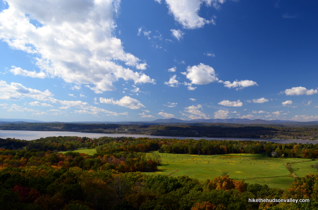
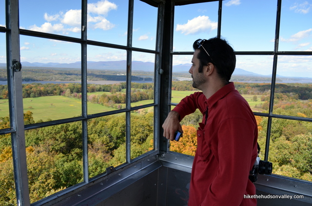
From what I understand, that old tower didn’t get far enough above the treetops to see in every direction. That’s no longer an issue. This new tower stands so far above the treetops that you can see a zillion miles (that’s a rough estimate) in every direction.
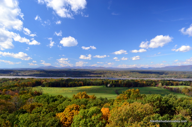
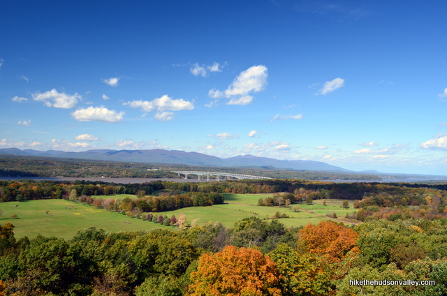
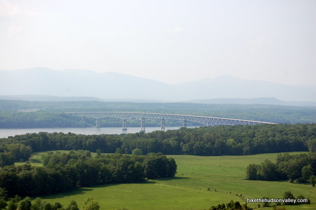
You can also easily spot the new tower if you’re driving east across the Kingston-Rhinecliff Bridge.
This must be one of the best sunset spots in the Hudson Valley, with the Catskills, Hudson River and Kingston-Rhinecliff Bridge all visible to the west (see the Ferncliff view at the top of this New York Times article for confirmation on that).
On one of my visits, an older couple aborted their walk about five minutes from the parking lot, citing the mosquitoes. “Wimps,” I thought, then proceeded to lose several pints of blood over the next two miles. I’m not sure the mosquitoes are worse here than anywhere else, but if you’re visiting during skeeter season, you’d be wise to pack some bug stuff.
Otherwise, if you’ve never visited the new tower at Ferncliff Forest, you need to put this spot on your list. Investing an hour of your time (with more hiking trails optional) over some relatively flat trails yields some unforgettable views. Also, you’ll want to check your acrophobia at the trailhead.
**UPDATE May 2012** In the trail guide below, I mention some of the unconventional trail markings at Ferncliff Forest. On a recent visit, though, I found that the trail markings had been vastly improved. There are plain-text signs everywhere, and navigating around is now a breeze. To the person or people who did that work, thank you! Very nicely done.
There’s also a new Ferncliff Forest homepage with some good information on the preserve. This place has made some fantastic improvements over the last several years – if you’ve never been, or even if you have, it’s time to pay Ferncliff a visit.
**UPDATE July 2016** And it keeps getting better! Thanks to Ed Fetzer, board member at Ferncliff Forest, for reaching out to me with a new Ferncliff trail map. Ed also reports that the trails themselves have been freshly marked. Considerable time and effort has been spent on these improvements – thanks to Ed and all of the people who make Ferncliff such a great destination.
Trail Guide
Bonus unsolicited advice: Don't depend on having cell service in the woods - it can be spotty out there! Download this trail guide to your phone before you head out. (It's easy to do on iPhone and Android.) May your connection to nature be strong, even when your connection to the internet is weak.
**Update October 21, 2014** According to this comment from alert hiker Katelin, there’s construction at Ferncliff right now that will prevent you from completing the loop described below. For the time being, sounds like you’d be well-advised to just hit the tower, then retrace your steps back to your car. If you visit Ferncliff and find that the loop is passable once again, please drop a comment on this page so that I can remove this update. Thanks! The loop is good to go again! Thanks so much for the heads-up, Barbara!
1. From the parking area, stop at the kiosk and grab one of the nice, free trail maps with local sponsors featured on it (I can’t find a copy of the map online, but the kiosk was well-stocked on my last visit). (And in case you missed the update above, here’s a nice brand spanking new online trail map.)
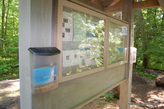
If you’re going to visit any of the trails beyond the tower, you’ll need that map. The tower is easy to find, but after that, the trail markings can get a little unconventional.
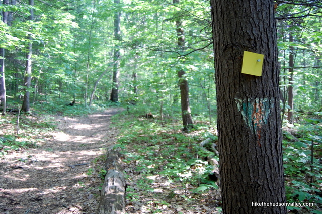
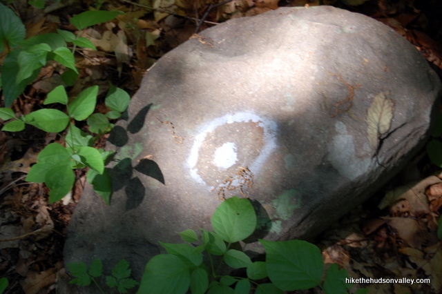
2. After stopping at the kiosk, head up the wide path. Next stop: South Pond.
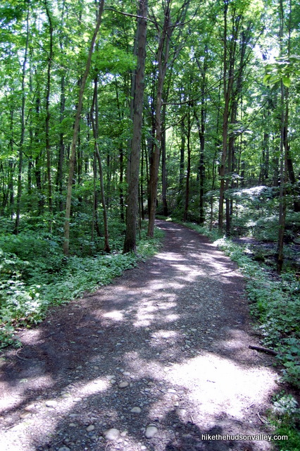
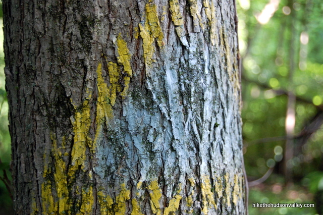
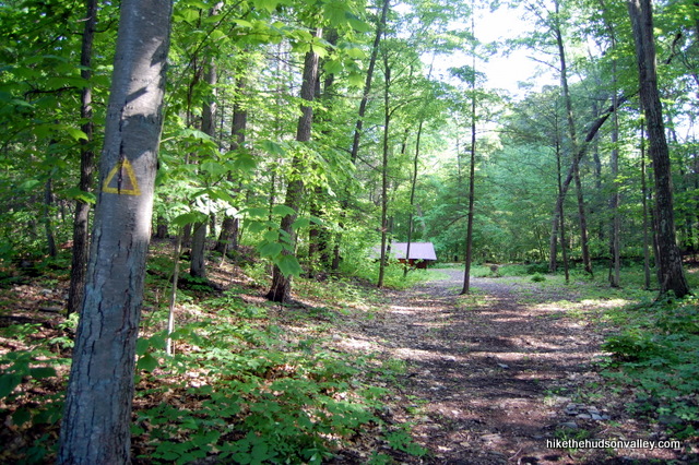
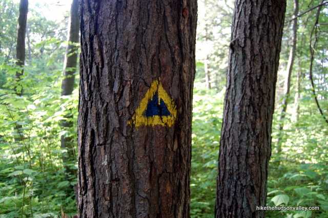
Note: When you look at your map and see that the South Pond Trail (which you’re now on) is marked white, that means “white inside a yellow triangle.” The yellow triangles surround all the painted blazes out here – ignore the yellow part and just look at the color inside the triangle.
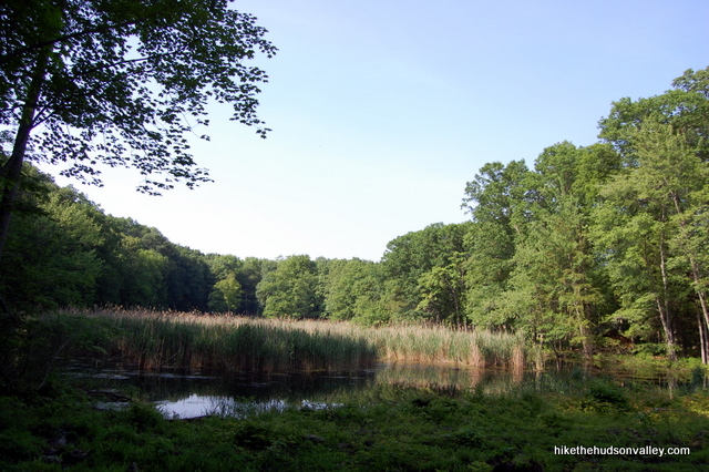
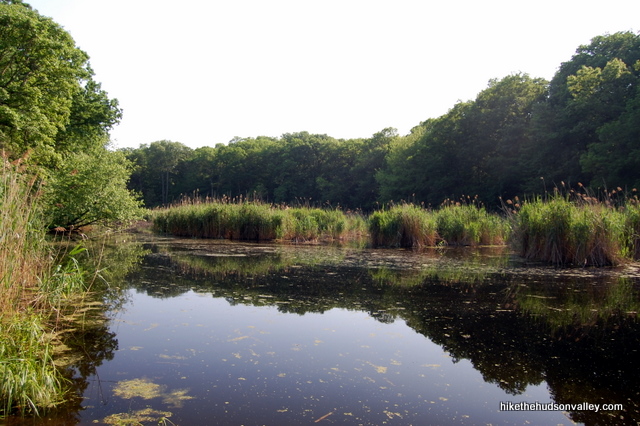
3. In about five minutes, you’ll arrive at South Pond, with a cabin right in front of you. If you’re here in the warm weather, the frogs will be making a racket from the pond. It’s a nice spot to stop and listen to nature for a moment.
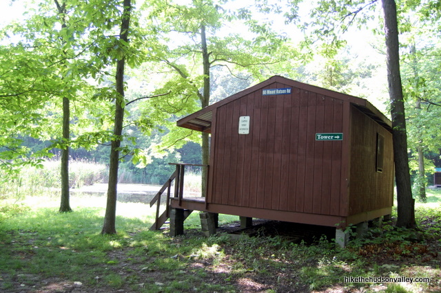
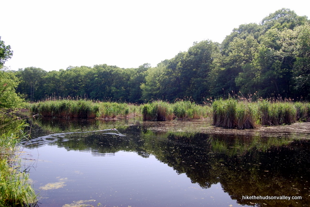
You’ll notice that the cabin has a sign marked “TOWER,” pointing to the right. That sign can be a little deceiving, since there is a large trail departing to the right of the cabin, which you don’t want to get on. From behind the cabin, look further down the clearing, to the right of the pond, where you’ll see a wooden lean-to.
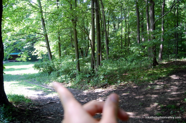
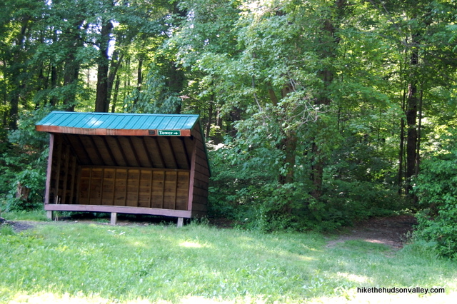
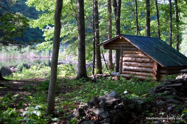
That lean-to also has a “TOWER” sign on it, pointing to a trail directly to the right of the lean-to. That’s the North Pond Trail, and it’s where you want to be.
4. After hopping on the North Pond Trail, keep straight for a couple of minutes, following the yellow markers. In a moment, you’ll arrive at a fork in the trail (marked with an “R” on the map), and you want to go left to join the East Tower Trail. You’ll see another sign for the tower, letting you know that you’re still headed the right way.
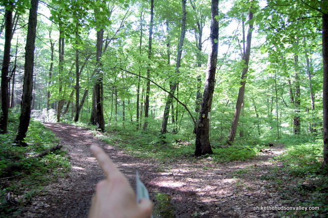
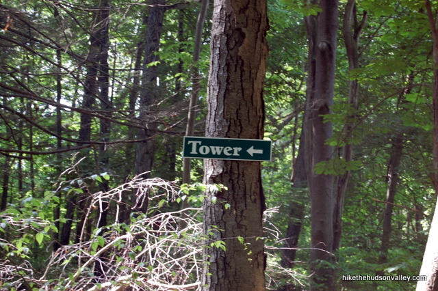
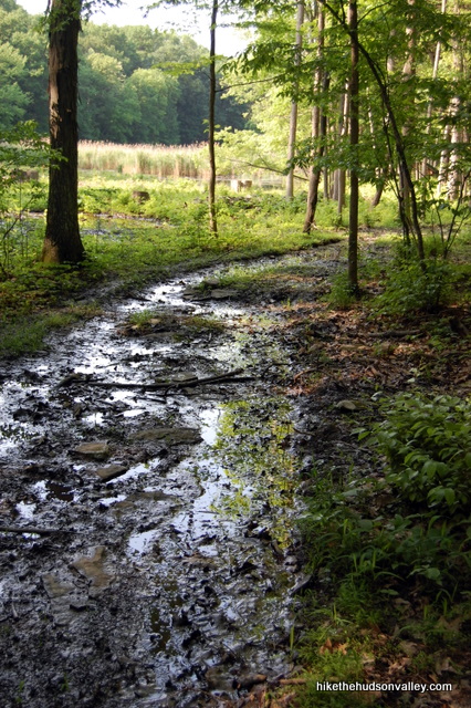
5. Continue gently ascending for less than ten minutes, staying on the East Tower Trail, and you’ll pass another lean-to on your right.
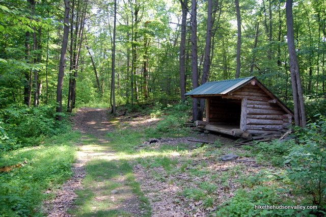
6. About two minutes after the lean-to, you’ll see a steep, short trail heading up a bank to your left, going straight up to the base of the tower. I just stayed on the main trail, which wrapped around to the tower in a moment. Either way will get you there. And when you’re there, you’ll know it.
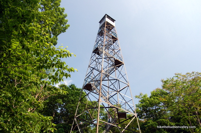
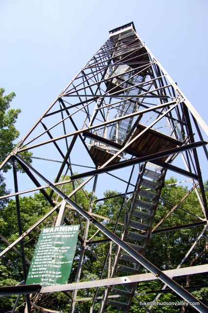
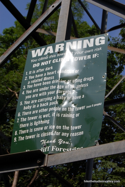
7. After verifying that none of the posted warnings apply to you, take a deep breath and give that giant steel puppy a climb.
8. What a view. I really need to come back here for a sunset. Watching the sun drop behind the Catskills from this tower must be awesome.
9. When you’re done taking it all in, head back down the stairs. You walked about .6 miles from the parking lot to get here. You can retrace your steps to make it a 1.2-mile up-and-back hike. Or you can stick with me, head further into the wild and wooly world of Ferncliff Forest and make it a 2.2-mile loop. There’s nothing earth-shattering on the rest of the loop, but it’s a nice stroll through the woods, and who doesn’t like a good loop?
If you’re heading back to the car, we’ll miss you! Hope you had fun. If you’re sticking with me, let’s keep rocking and rolling down the Tower Trail and see what happens.
10. From the base of tower, note where the East Tower Trail comes into the clearing, the way you came in (from the right, if you’re standing on the first step of the tower with your back to the steps.) To your left, you can see where the West Tower Trail plunges back into the woods. That’s where we’re headed.
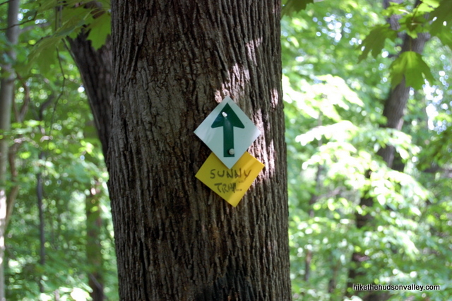
11. Hop on the West Tower Trail. You might notice a yellow marker that has “Sunny Trail” written on it, even though there’s no mention of a Sunny Trail on the map. Whatever the person with the permanent marker had in mind, don’t worry about it. You’re in the right place.
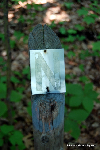
12. A few minutes after the “Sunny Trail” marker, you might notice a post on your left with a letter “N” nailed to it. For me, this post solved the Great Mystery of What the Heck All Those Letters on the Map Represent. Apparently, there are markers in the woods with corresponding letters on them, probably for guided nature walks. The “N” was the only one I noticed, but I’m grateful to it for helping me solve the riddle.
13. You might notice that the trail markers seem to be getting crazier as we go. Have no fear, just keep soldiering on.


14. Less than five minutes after passing the “N”, you’ll come to the well-marked preserve boundary, where you’ll need to make a left to stay on the trail and in the preserve.
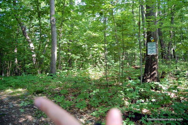
15. I sincerely appreciate the work that goes into blazing and maintaining these trails. I also feel like some of the markers out here might be charting someone’s slow descent into insanity.
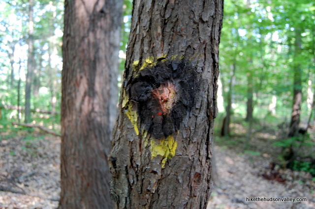
16. A few minutes after you made the left to stay in the preserve, you’ll come to another fork. Make a left to join the Circle Trail.
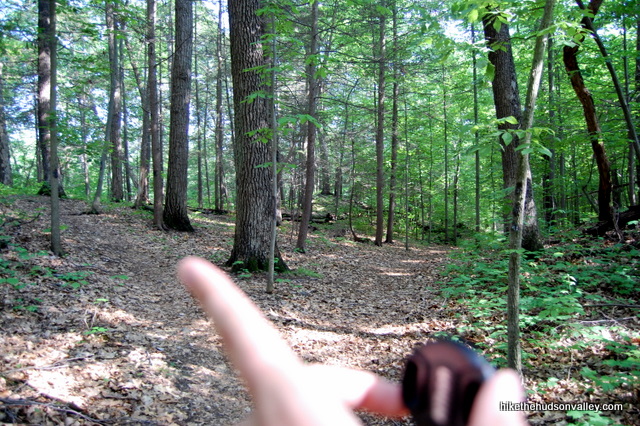
17. The Circle Trail is marked with red-and-yellow Superman logos. Several unmarked trails come and go in this next stretch, but if you just keep following Superman, you’ll be good to go. Remember, at any fork from here until you can see the pond again (which took me about 15 minutes from the preserve boundary), always choose Superman.
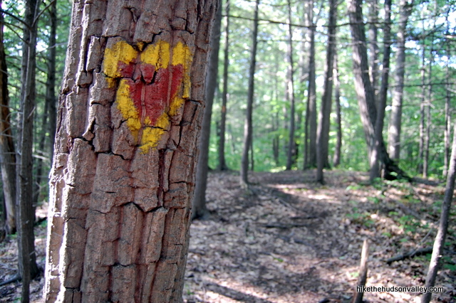
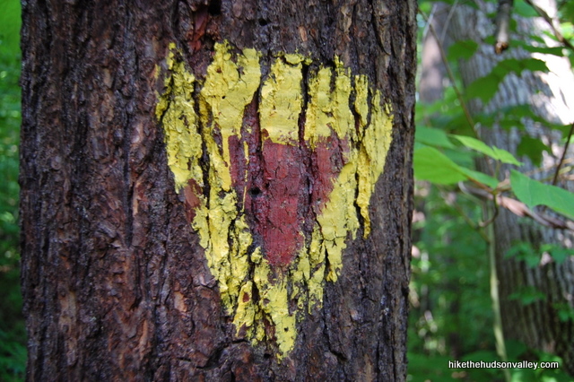
18. The Circle Trail dead ends at the back of the pond (not right at the shore, but you can see the bulrushes straight ahead). Taking a left here would bring you back to the lean-to from the start of the hike, which you can just see through the woods. Taking a right puts you on the Scout Trail for a slightly longer loop, which is what we’re going to do now, if you’re up for it.
19. You still with me? Awesome! Walk across the small footbridge to take a stroll around the Scout Trail.
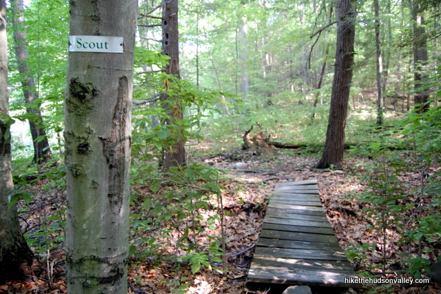
20. Venture across a small clearing, with the pond on your left.
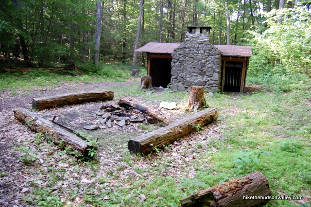
21. Re-enter the woods on the far side of the clearing, following the blue-and-yellow triangular blazes. You’ll see a small structure ahead. The trail wraps around this cool cabin-like lean-to, which comes complete with its own stone chimney. In Rhinebeck, this place would go for at least $250k. Charming Cape Cod with stone fireplace. Open floorplan. Bring all offers and your imagination!
22. Just past the lean-to, turn left at the fork to follow the Scout Trail back around the pond.
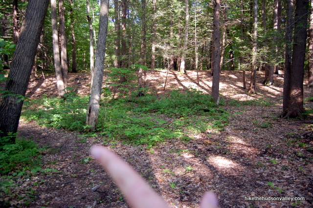
23. You might find the trail somewhat boggy at this point, but you should be able to prance around without getting too muddy. Pass another lean-to and ignore the Bridal Path as it joins you from the right.
24. Boom! You’re back at the original cabin beside the pond. Turn right at the cabin to head back down the hill to your car.
25. Great hike, right? Did you bring your bug stuff, or do you need a transfusion now?
Directions
Directions to the trailhead: From the intersection of Market St (Rt 308) and Rt 9 in the village of Rhinebeck, head north on Route 9. In about five blocks, bear left onto Montgomery Road (if you’re still on Rt 9 as you roll past the Northern Dutchess Hospital, you just missed it.) Keep going straight and Montgomery Road becomes Mount Rutsen Road. 1.8 miles after leaving Route 9, you’ll see the well-marked parking area for Ferncliff Forest on your left. (The first photo below is taken from the driveway, so it’s the reverse of what you’ll see if you’re coming in from Rhinebeck.)
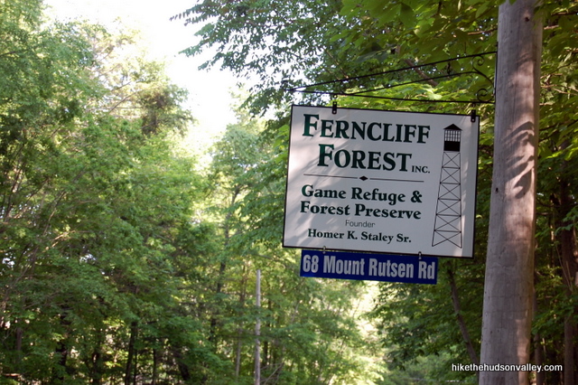
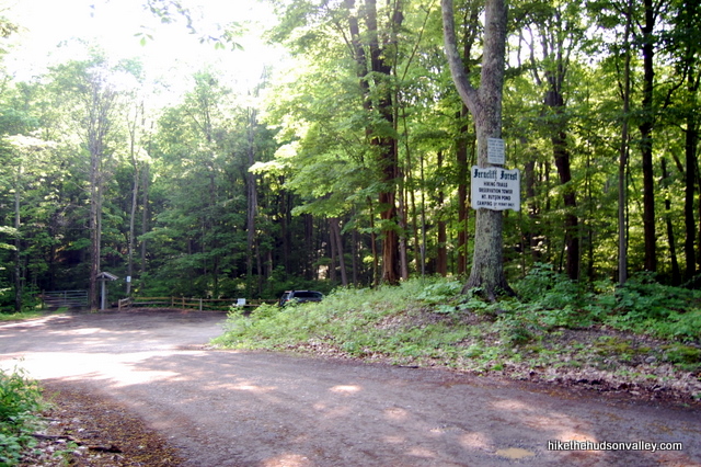
You can also get directions by checking out the Ferncliff Forest entry on the HiketheHudsonValley.com Google map.
Sorta nearby address for your GPS: This trailhead has its own address. Far out!
68 Mt. Rutsen Road
Rhinebeck, NY 12572
(This address is listed on the preserve’s signs, but Google Maps doesn’t mark the right spot for the parking area with that address. If you reach the intersection of Mt. Rutsen Road and River Road – where Google Maps thinks this address is located – the trailhead is less than a mile south on Mt. Rutsen Road.)
GPS coordinates of parking area: 41.95736, -73.92064 (Clicking will open in Google Maps or the Apple Maps app, depending on your browser/device.)
Resources & Interactives
Super-cool Google Earth flyover of hike route:
Google Terrain Map of hike route:
Related resources: If you’re looking for actual facts and/or useful information, visit these resources:
- The official homepage of Ferncliff Forest: ferncliffforest.org
- An updated trail map for Ferncliff Forest
- This New York Times article with nice words for the Hudson Valley and Ferncliff Forest, as well as some other local hikes
- Some nice history on the preserve (written pre-new-tower) from this Northern Dutchess About Town article
- The Ferncliff Forest Facebook page
- This Youtube video showing the construction of the new tower
- This guy’s Flickr site with some nice shots from the tower
More Ferncliff Forest pictures from the hike’s Picasa album:
Want to support trails in the Hudson Valley? Here’s one great way: Visit the New York-New Jersey Trail Conference homepage and click on Volunteer, Donate, or Shop! (Then you can volunteer, donate, or shop, depending on your mood.)

So we were thinking-what is everyone talking about the markers are great. We took yellow ti tower then got on blue through the woods and back to pond. From there we took the Scout trail, and thought hey it’s early let’s take orange (bridal path) back to car. And now we know that’s where the plunge into insanity happens. Yikes- glad we had our All trails app!!!
But it was still a fun hike. We love Fire Towers!
First time in Ferncliff Forest for a hike. There are maybe five total blazes on the trees. Nowhere was there any blazes indicating a turn nor any for end of trail. Yes, there were a few when leaving from the parking lot and a few blues and a few red but overall no where near enough to provide any direction. Never have I seen this poor trail markers on any trail I have been on in years. We were lost making circles and trying to figure the way out only to reach private property heading towards a road which we walked to and then a 22 minute road walk back to the trailheads.
Pingback: Enchanting Escape: Discovering Delight in Reinbeck, NY for a Quaint Upstate Weekend Getaway – The Yearly Bulletin
Pingback: Where to Go Hiking With Kids in the Hudson Valley
Did this hike today and it was very nice! However the trail map is not that great (the light green trail intersects with the dark green trail and then is supposed to continue, but in real life it stops) and where the trails intersect is not marked so great on the trails. The yellow trail is easy to follow, but the trail intersects can get confusing. Good thing that the park is surrounded on all sides by roads so you are never far from civilization! Also, all the trails are on the short side, so if you get lost you won’t be for long! The fire tower is pretty awesome!
We have marked all trail intersections and then placed a “confirming ” marker a small way past the intersection to give you confidence you made the right turn. We have had trouble with folks stealing our markers, I suppose because of the cool firetower logo on them. I try to keep up with replacing them as I notice they are gone. The yellow trail is now marked with plain circular markers to make them less coveted. Markers are about 100 paces apart. If any readers think there is something confusing message us on Facebook.
Hello- I hiked Ferncliff this week and while it was a beautiful hike, the trail markers continue to be a challenge…the descent into insanity continues. It looks like they’ve been updating, but some very mixed messages. I’ve included some photos, but I found the main confusion to be the sign marking the end of the property. It says to turn left but there’s nowhere to turn. I hiked past it for a bit but realized that wasn’t correct so I backtracked to the property line sign. The left turn is actually before the sign, maybe 20 yards, and is marked with a yellow disc. And then while looking for the superman signs, I eventually found one but it also looked like they removed or painted over some of the superman signs.
Anyway, it was still a nice hike and just what I needed. I did part of Wittenberg earlier in the week and my knees needed a break! I really love your website; it’s become my hiking bucket list. Thanks for all your hard work, great directions, and wonderful sense of humor.
Jennifer
At your bequest, I am reporting that the full loop of Ferncliff can now be made. There is still some construction, but all the trails are open. I have completed all of your hikes using your trail guides and I want to thank you. We read them aloud and cackle like bafoons at your remarks and insane accuracy. See you on the trails.
Thanks so much, Barbara! Your comment made my whole week, and the trail guide is now updated. Much appreciated!
I took the hike yesterday with a friend. We enjoyed the hike, but there was no sign to indicate that due to construction the loop could not be completed. Shortly after the sign for the circle trail, there was a house ahead of us & no signs to the parking lot at which point we turned around & backtracked for a longer walk to the parking lot than we planned on, leaving us quite thirsty..
It would have been helpful to have a sign indicating the loop couldn’t be completed, & also a sign that you need a trail map beyond the tower. [There were no trail maps in the kiosk, only brochures with general information]. Otherwise it was enjoyable, but I would not go back without a map, as some of the markers were confusing.]
In the future I will check out your trail guide on this site before trying trails I haven’t been on before
rather than just a quick glance for general info, as it is a helpful site.
Your posts about this area came in handy for the mapless excursion we ventured on today! Thank you!!! Great info that lead a dad and a little girl on a memory making adventure!
That’s awesome, Chris — glad you and your daughter had a quality adventure out there!
thanks for this great info! i’ve been walking / hiking mostly the hyde park trails (mills mansion, mills norrie state park, roosevelt property trails) along with poets walk and burger hill – somehow ferncliff was totally off my radar! so glad to find this and can’t wait to do this walk.
So glad to hear it! They’ve really done a great job with this place – it definitely deserves a spot in the rotation. Thanks for the nice comment – hope you enjoy your visit to Ferncliff!