Background
If you find this free trail guide useful, please provide payment by picking up at least one piece of litter on your hike. Cha-ching! Thanks for being awesome! (And here’s a quick primer on Leave No Trace, too, to help us keep the trails nice and fresh for each other.)
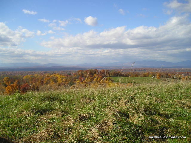
Background you can feel free to skip: When we used to live in Rhinebeck, this was our go-to spot for bringing out-of-town guests, especially ones who weren’t all that wild about hiking. By the time they could start whining, they’d already be at the top, checking out the beautiful Catskill view stretching out before them. It’s a bit of a stretch to even call this a hike, it’s really more of a stroll that happens to take place on an incline. Still, you’ll break a sweat if you chug straight up this thing – it’s not called Burger Plains.
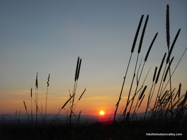
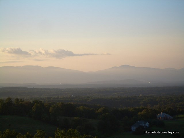
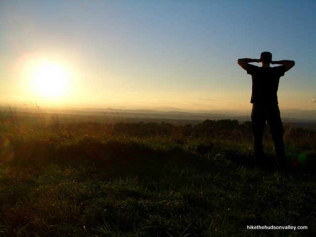
During the day, the view here is very nice. But it’s really something to see if there’s a good sunset. I have this one recurring dream where friends come to visit me, and when we go outside, we’re all pleasantly surprised to find ourselves in the Greek Isles, and we have a grand old time climbing around these beautiful seaside mountains. I think this happens because my wife made me watch Sisterhood of the Traveling Pants. The point, if there is one, is that if you can’t wake up in the Greek Isles, you can still find some magic right here in the Hudson Valley. Head to Burger Hill, and head there just before sunset, if you can.
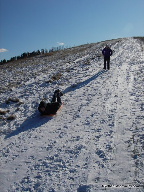
In the winter, expect this place to be crowded after a snowfall. It’s probably the best sledding you can find without buying a lift ticket.
Trail Guide
Bonus unsolicited advice: Don't depend on having cell service in the woods - it can be spotty out there! Download this trail guide to your phone before you head out. (It's easy to do on iPhone and Android.) May your connection to nature be strong, even when your connection to the internet is weak.
1. There’s really not much trail guiding to be done here. From the parking area, you can pretty much see right where you need to go. There’s a small pond with a dock you can go check out, or you can make a beeline straight for the hill.
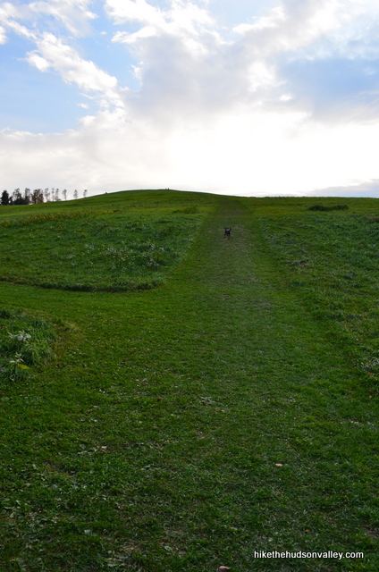
2. Climb the hill. There’s a well-worn path up there. Somebody must mow this thing occasionally. If it’s you, thanks!
3. If it’s winter and you didn’t bring a sled, maybe you can find a kid to bum one off of. That’s
what my sister-in-law’s boyfriend did.
4. Towards the top, you can find a stone bench to max and relax on. If it’s empty, perhaps you should max and/or relax upon it.
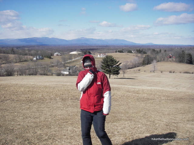
5. Once you’re at the clearing on top, you’ll see a neighborhood directly in front of you, then the Catskills off in the distance. I think one of those houses might have its own basketball coliseum. Does anyone have a better guess about what that building is just to the top-left of my wife Kara’s head in this picture? What is that thing? Something horse-related, perhaps? A planetarium? That’s always bugged me. (UPDATE October 2017: It’s a water treatment thingie! Thanks, Jon!)
6. Enjoy the view and hang out for as long as you like, as long as you like to leave before you get kicked out after sundown (the park closes at sunset, but I’ve never had any problems leaving shortly thereafter).
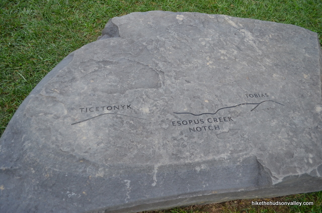
Update July 2012: They’ve added some cool new rock slabs at the top of Burger Hill that help you to identify the Catskill peaks off in the distance. Educational signage that you can have a picnic on — does it get any better than that? Very nice addition to the park.
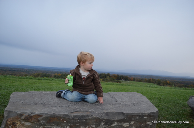
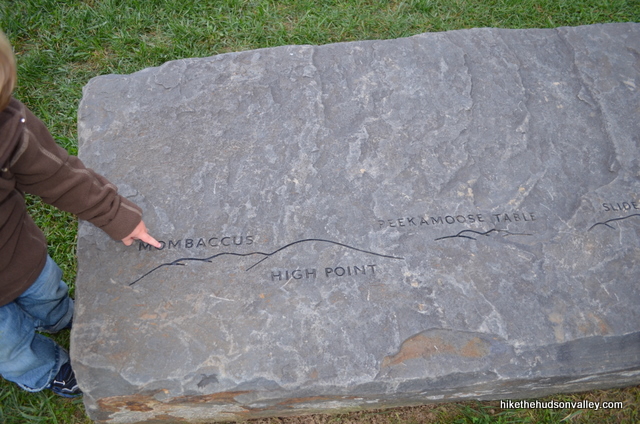
7. Head back the way you came. You’re probably hungry by now. Time for a burger, perhaps?
Directions
Directions to the trailhead: From the village of Rhinebeck, head east on Market Street (Rt 308). Once out of the village, take a right onto Violet Hill Rd, which dead ends into Rt. 9G in a mile or so. Take a right onto 9G, and the Burger Hill parking lot will be on your right before you can even get up to full speed again. If you drive a car like mine, anyway.
You can also get directions by checking out the Burger Hill entry on the HiketheHudsonValley.com Google map.
Sorta nearby address for your GPS: The intersection of Kerr Road and Rt. 9G in Rhinebeck, NY is less than a mile south of Burger Hill (the well-marked parking area is on 9G, on your left if you’re heading north). My old-ish Garmin Nuvi lets me put in an intersection as a destination, so hopefully yours does, too.
GPS coordinates of parking area: 41.92161, -73.87414 (Clicking will open in Google Maps or the Apple Maps app, depending on your browser/device.)
Resources & Interactives
Super-cool Google Earth flyover of hike route:
Google Terrain Map of hike route:
Related resources: See the official Burger Hill page by Scenic Hudson if you’re looking for actual facts and/or useful information. (And if you’re a Scenic Hudson person, thanks for all the awesome parks, dudes!)
More Burger Hill pictures from the hike’s Picasa album (with a special thanks to my buddy Jered Earl “Chunks” Widmer for providing some of these photos, including the banner image on this page):
Want to support trails in the Hudson Valley? Here’s one great way: Visit the New York-New Jersey Trail Conference homepage and click on Volunteer, Donate, or Shop! (Then you can volunteer, donate, or shop, depending on your mood.)

I have been enjoying this hike in conjunction with Vlei Marsh in Rhinebeck. They compliment each other nicely and are close.
Thanks so much for the tip, Jessica! I used to live right near there, and have never heard of Vlei Marsh before. Looks like a great spot! Will have to add it to the itinerary next time I’m at Burger Hill. Thank you! (More info for those interested: https://www.winnakee.org/visit-our-parks-preserves/vlei-marsh-preserve/)
Pingback: Meet Cleo Sullivan: Inspired Photographer & Artist - Beyond The Shag
Fo u pay anything for sledding here
Hi, Susan! Nope, sledding here is free, as long as conditions allow for it. Otherwise, it’s also free to sit on your toboggan at the top of the hill and wait for it to snow, like Calvin. (And if you’re not a Calvin & Hobbes fan, please disregard the second half of this comment.)
The round building visible from Burger Hill that you wondered about is on Hilee Road and is a water treatment facility owned by the Village Water Department (although it is located in the Town). Cheers!
Thanks for solving the mystery, Jon! Much appreciated. I’ve updated the trail guide above with a link down to your comment. Also, I might keep pretending it’s a planetarium. That seems more fun, if less useful.