Background
If you find this free trail guide useful, please provide payment by picking up at least one piece of litter on your hike. Cha-ching! Thanks for being awesome! (And here’s a quick primer on Leave No Trace, too, to help us keep the trails nice and fresh for each other.)
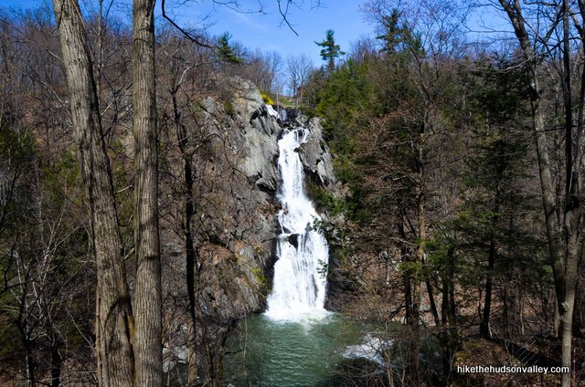
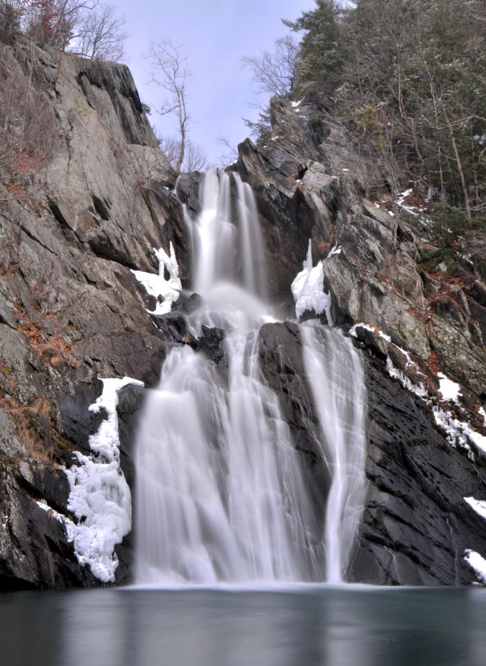
Background you can feel free to skip: High Falls may be the tallest waterfall in Columbia County, but that title sells this place a bit short. There can’t be too many counties with taller waterfalls. In fact (and I checked this), at 150 ft, High Falls is taller than the tallest waterfalls in many states. (I’m looking at you, Kansas. And take that, Ohio!)
I heard about this place for the first time in early 2013, when Julian Diamond (photographer extraordinaire) posted a beautiful shot to Hike the Hudson Valley’s Facebook page. (And thanks for your permission to use that photo here, Julian!)
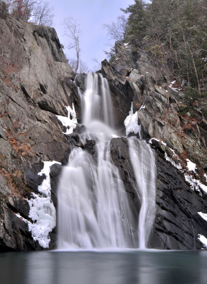
Julian’s caption: “High Falls Conservation Area in Columbia County is a great multifaceted and relatively easy hike that offers views of two waterfalls from a couple different distances and angles. The CLC does a great job making the site accessible and useable while still letting nature steal the show. Definitely recommend checking it out.”
Recommendation accepted!
Julian was right – what a cool place.
The Columbia Land Conservancy (CLC) has done an awesome job with this park, which is still relatively new (I found a reference from 2007 calling the park “new,” so it’s not brand new, but it still has that new conservation area smell).
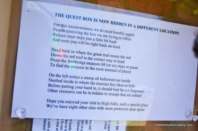
Besides the well-marked, well-maintained trails and beautiful sights, this place just has a nice personality. On the welcome kiosk by the parking lot, on my visit in early 2013, there was a riddle posted to help you find a “quest box” hidden in the park. I’ve never seen that before. What a cool idea.
If you find yourself anywhere near Philmont, NY (and, really, even if you don’t), you should pay High Falls a visit. I’ll be back again soon. And if I find myself in Louisiana, Iowa, Maine, Missouri, Alabama, Florida, Delaware, Connecticut, Kentucky, Indiana, Maryland, South Dakota or North Dakota (to name a few), I won’t bother looking for a waterfall taller than High Falls. The tallest waterfall in Columbia County has them all beat.
Trail Guide
Bonus unsolicited advice: Don't depend on having cell service in the woods - it can be spotty out there! Download this trail guide to your phone before you head out. (It's easy to do on iPhone and Android.) May your connection to nature be strong, even when your connection to the internet is weak.
1. From the parking area (see “Directions to the trailhead” below), stroll over to the well-marked kiosk behind the fence to read up on the place you’re about to visit. Go ahead and sign in, too, so they know how many visitors this awesome place is drawing.
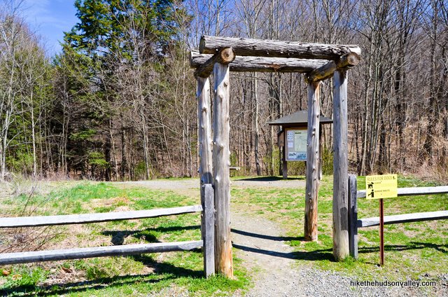
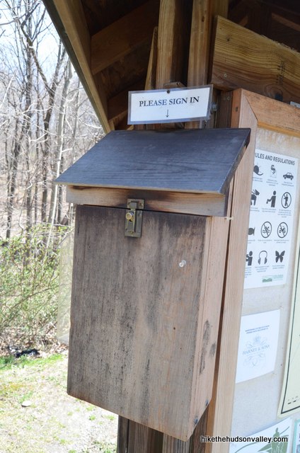
You’ve probably suspected this all along, but you really don’t need me at all. The CLC already has a great trail map online, and there’s also one posted at the entrance.
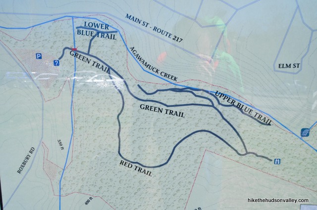
They even had paper copies there on my last visit. (It’s good karma to return paper maps at the end of a hike.)
So even though you should be all set in the map department, I do have some recommendations on which trails to take, so I’m not completely useless. Well, any more useless than usual. Let’s get to it!
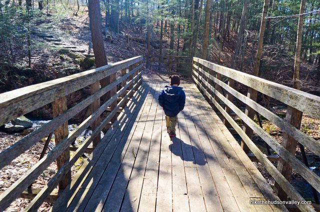
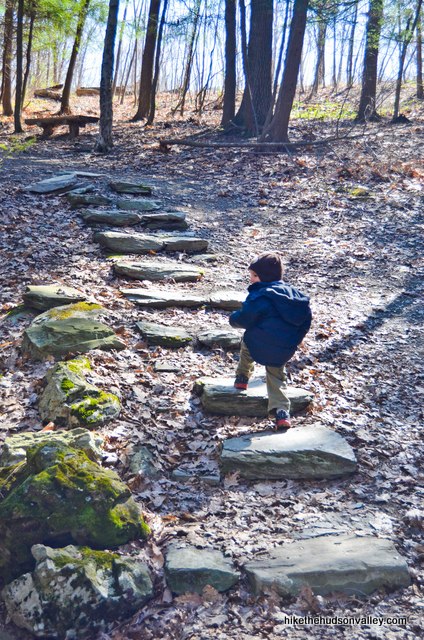
2. Follow the Green Trail down the stone steps to the picturesque wooden footbridge that carries you over a burbling stream.
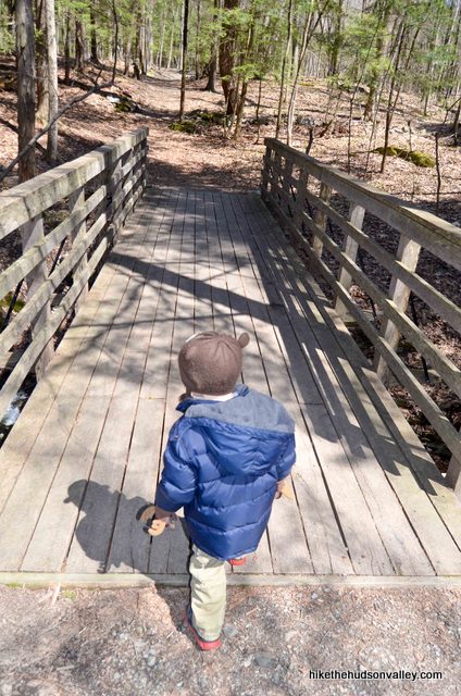
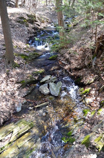
3. We’re following the Green Trail to the intersection with the Red Trail. It should take you about five minutes to get there after the footbridge. You can ignore the Blue Trail splitting off to your left, too. More on that later.
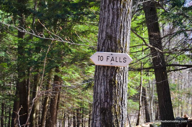
4. The Green/Red junction is well-marked with blazes and a sign that accurately (and counter-intuitively) points both ways and says “TO FALLS.” Take a right to hop on the Red Trail for the biggest (though still not that big) climb of the day – over the next .4 miles, you’ll climb 112 feet. This is the beginning of a loop, and you’ll return to this junction after visiting the falls overlook.
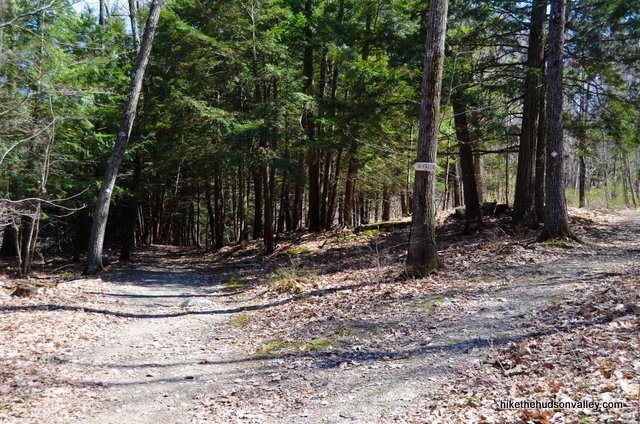
5. Follow those red blazes through pleasant woods until the Red Trail dead-ends back into the Green Trail.
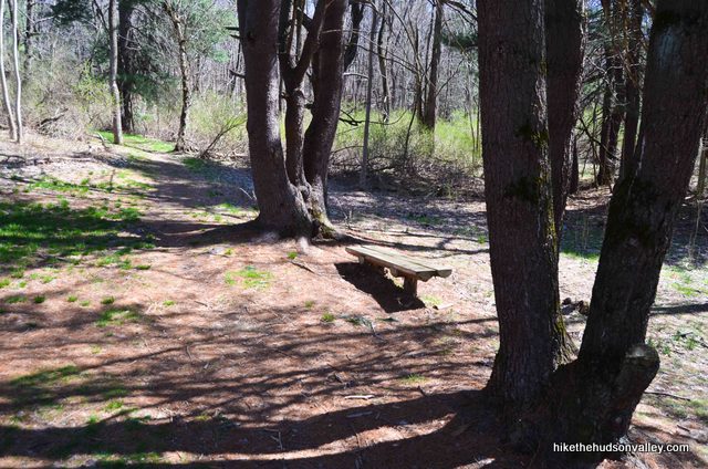
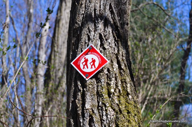
6. Continue straight/right at this junction onto the Green Trail. Hear the falls yet? There are actually two sets of falls – you’ll get a good look at both of ‘em before we leave here today.
7. The Green Trail passes an “OVERLOOK” sign and, in just a moment, takes you to a nice clearing with a picnic table. Candy bar time!
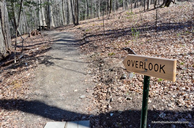

Oh yeah! There’s a huge waterfall there, too. Even better if taken in while picking the remnants of a candy bar out of your teeth. Preferably a Zagnut, if you can find one.
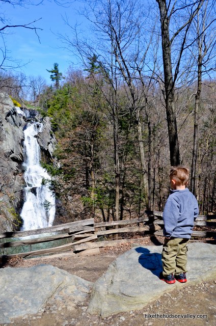
8. Walk right up to the fence and take in the sights and sounds of High Falls. “Dang!” is the word that comes to mind. “Dude!” or “Duuuuuuude” would also be appropriate. These falls really are impressive. Much more impressive than any waterfall you’d find in, say, Ohio.
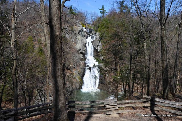
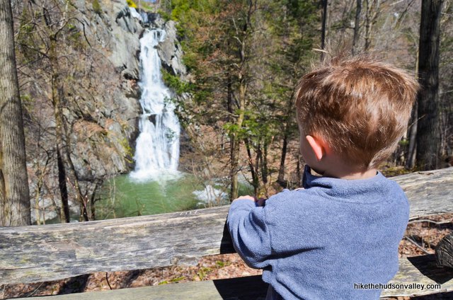
9. When you’re done checking them out, return on the Green Trail to the Green/Red junction just a couple minutes back. This time, stay to the right to head back on the Green Trail.
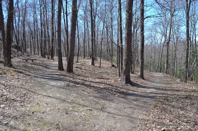
10. In just a couple minutes, you’ll come to a junction with a Blue Trail (the Upper Blue Trail on the map) splitting off to your right, downhill. Turn right here to follow the Blue Trail down to the water’s edge.
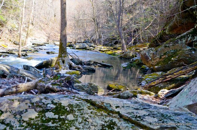
11. Once you get close to the water, you can choose to follow the Blue Trail straight/left or U-turn/right. There’s not much happening to the left – the trail dead-ends into the creek in just a minute. Turn right to head upstream, towards the falls. The trail hugs the edge of Agawamuck Creek as you make your way toward your second waterfall of the day (assuming you didn’t cheat and visit one prior to coming here).
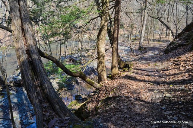
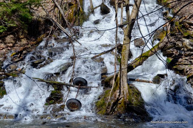
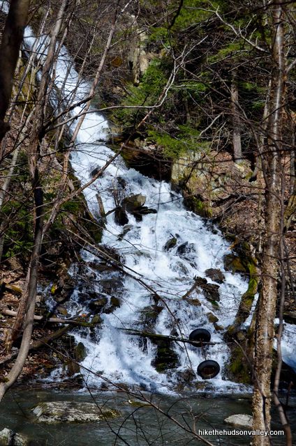
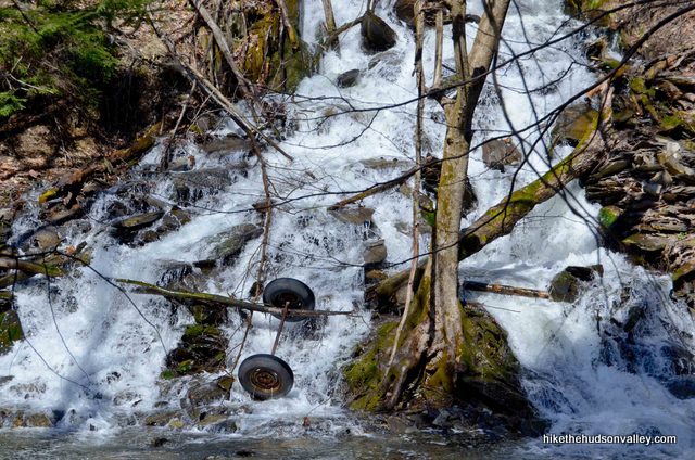
12. In just a moment, you’ll find yourself directly across the creek from another very impressive waterfall, which probably already has its own name, but which I’ve christened Axle Falls. See if you can tell why. (And if the car axle at the base of the falls is no longer there when you visit, please don’t spend too much time on this riddle. Update August 2013: Alert hiker Jeff Kent reports that the axle, indeed, has moved on from Axle Falls. Why does that make me sad?)
13. Here’s where things might get interesting. The Blue Trail appears to end with the base of High Falls juuuuuust around the corner. Without clambering over rocks and perhaps getting your feet wet, you can just barely see the bottom of it over there.
On my visit, I saw a guy visit the base of High Falls anyway, and in Julian Diamond’s picture, you can tell that he made it there, too.
I, however, had a baby on my back and a three-year-old walking beside me, so it wasn’t happening. The people who designed this trail are apparently telling you to turn around now without visiting the base of the falls, though there’s no sign explicitly saying this, so it’s not 100% clear. I had no choice but to turn around. You’re turning around now, too? Excellent! Let’s retrace our steps from here and head back up to the Green Trail/Blue Trail junction.
14. Once you’ve gone back past Axle Falls and clambered back up the hill on the Upper Blue Trail, turn right onto the Green Trail to continue back towards your car. Enjoy the stroll, which is a more direct route than the Red Trail we took earlier. If you’re getting sleepy, hang in there! We’re almost to the end.
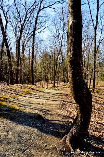

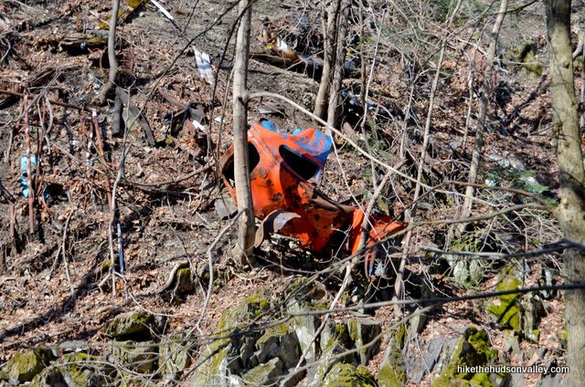
15. About one quarter-mile from the Upper Blue Trail, just before you arrive back at the wooden footbridge, you’ll see the Lower Blue Trail splitting off to your right. My recommendation: skip this one. The Lower Blue Trail takes you down to the water’s edge again, but this time, instead of awesome waterfalls, the view is of trash that people on the other side of the creek dumped down the hill.
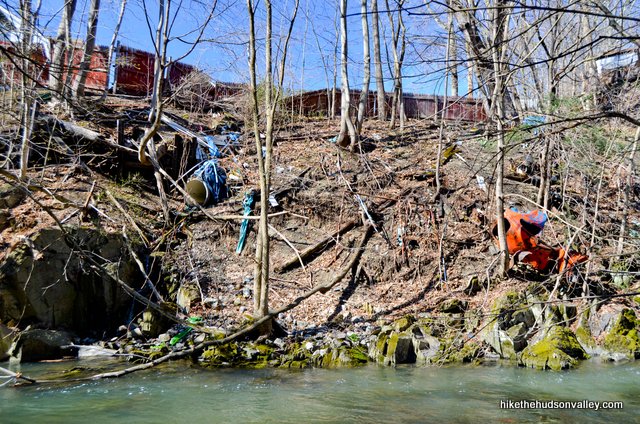
“That looks like a fish!” my son Evan said, pointing at the twisted orange husk of an old car that someone discarded long ago. He was thinking of the giant orange fish Otto from the children’s book “A Fish Out of Water.” So, you know, Evan enjoyed this section of trail, but most people will find it a bit of an anticlimax after all the other awesomeness to be seen here.
16. Keep following the Green Trail back across the footbridge, up the steps and back to your car.
What an awesome place, right? When you get home, be sure to call someone from Ohio and gloat.
Directions
Directions to the trailhead: From the Taconic Parkway headed north from Poughkeepsie, just keep driving. And driving. Your exit – NY 217 toward Philmont – is 36 miles north of the exit off the Taconic for Route 44. After taking the Philmont/NY 217 exit, turn left onto Rt. 217 W. In 2.6 miles, after driving through the village of Philmont, just before you leave town on the the other side, turn left onto Roxbury Road. The spacious and well-marked parking lot is on your left in .2 miles.
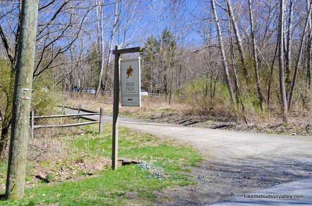
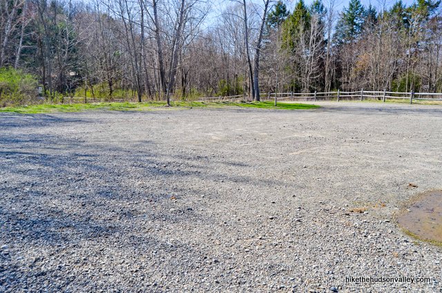
Hop out and let the adventure begin!
You can also get directions by checking out the High Falls Conservation Area entry on the HiketheHudsonValley.com Google map.
Sorta nearby address for your GPS: This hike has its own address. Woo hoo!
540 Roxbury Road
Philmont, NY 12565
GPS coordinates of parking area: 42.2472, -73.65767 (Clicking will open in Google Maps or the Apple Maps app, depending on your browser/device.)
Resources & Interactives
Super-cool Google Earth flyover of hike route:
Google Terrain Map of hike route:
Related resources: If you’re looking for actual facts and/or useful information, visit these resources:
- The official Columbia Land Conservancy High Falls page
- The official CLC trail map
- Some nice High Falls Conservation Area Yelp reviews
- The town of Philmont’s announcement on the park’s opening
Want to support trails in the Hudson Valley? Here’s one great way: Visit the New York-New Jersey Trail Conference homepage and click on Volunteer, Donate, or Shop! (Then you can volunteer, donate, or shop, depending on your mood.)

rondout-reader-april-2023.pdf (wordpress.com)
Find out something new about HIGH FALLS!
Kevin, I can’t locate the document you are referencing, but would love to find out something new about High Falls! Please let us know where we can find out more if you happen to stroll back across these comments.
Thanks for this info. I went to the place where maps was taking me and found nothing but a bridge and a lake park. Going back today.
My friends and I used to climb the right side of that waterfall, no ropes, no pads or helmet
Maybe not an axle but found this today.. . Beautiful short hike! Thanks for the info!
Such a beautiful natural scene you found there, Suellen! 🙂 It’s like when they make a coral reef out of a sunken ship, but on land. Feels nicer to think of it that way. It’s habitat now! Even with the odd old pieces of cars on the far side of the river, this is indeed a beautiful spot, and glad you had a nice visit there!
Came here on 6/27/21. Loved the hike and scenery. It was easy and the falls were easily accessible. There were some people swimming in the water, but not crowded. No rangers to enforce the no swimming rule like Bash Bish Falls. Really disliked the landmines dog owners leave on the trail though.
Thanks so much for posting these recommendations. We followed them to the letter and were rewarded with beautiful views of both waterfalls! I look forward to a return visit.
Pingback: High Falls, or The First Hike of Spring (Was More of a Stroll, but it Sure Was Gorgeous) | DOWN Is Optional, UP Is Mandatory
I went this past September. We went down wooden stairs to get to the bottom of high falls. I did not know there was a second falls, i will have to check it out next time i go up that way. I loved being down there sitting next to the falls. I think all waterfalls are beautiful no matter how big or small. I love the adirondacks and all the beautiful things up there. Thank you for the information on this page
Thanks, Deanna – hope you enjoy your next visit, too!
Gorgeous hike but we went Aug ’16 and the trails were very poorly marked (started out okay, but further in markers were rare). We spent much of the time wandering around and cutting across trails to get to another trail when we couldn’t figure out how to get there from here (map doesn’t help much if you don’t follow closely from the start). On our way back, we ran into several other groups asking for directions.
The falls were beautiful, but we never found the second falls. Next time we will rely on the map and the information from this website, so we will hopefully see everything!
Thanks for this website… Very helpful!!
Hocking Hills Ohio blows this out of the water
Just Googled Hocking Hills — looks like a gorgeous spot! Thanks for the info, Joe. I’d love to visit Hocking Hills if I’m ever out that way. Looks like there’s more than enough natural beauty there to compensate for the waterfalls not being as tall as High Falls 🙂
HA! Apparently someone took the, “take that Ohio” comment a little personally. Calm down, buddy. No one is saying this is the best waterfall in NY (or better than every waterfall in Ohio) – it’s just the tallest.
Back to NY – As far as prettier waterfalls – there’s Kaaterskill which is the tallest two tier waterfall (& has a swimming hole between the two tiers). There’s Watkins Glen, which is far prettier than High Falls. Plus, Buttermilk Falls, Treman State Park, & Toughannic Falls in Ithaca – all prettier, but not as tall.
This was really helpful and entertaining, too. My husband and I plan to pack a picnic and visit as soon as the leaves come out on the trees and the weather turns a bit warmer.
Thanks for all the info!
Ive been Hiking at High Falls for years, and knowing many locals I would like people to know that it is probably NOT the best idea to swim in the pool below the falls. Not only is the pool possibly full of junk (including an old car) but is said to be loaded with water snakes.
Swimming actually isn’t allowed at High Falls – the rocks are very slippery and it can be dangerous to get down there.
Pingback: Athens, NY - ESCAPE BROOKLYN
we did this hike this past weekend with our 11month old and 7yr old – spectacular waterfall! And GREAT website, we’ve been using it for a few years now and it was great for when we wanted a more challenging hike and also when i was pregnant to navigate which trails would be easier to do.
That’s awesome, Meghan! So glad to hear that this site has been useful for you and your family, and that you enjoyed this hike!
Just an FYI on the directions…follow the ones above unless you like driving on narrow dirt roads. We came in from the South on a series of very narrow and unpleasant roads. Then again we were in a mini van with 6 people in it. We went out on 217 through Philmont which was much easier.
Thanks for the heads-up, Jeff!