Background
If you find this free trail guide useful, please provide payment by picking up at least one piece of litter on your hike. Cha-ching! Thanks for being awesome! (And here’s a quick primer on Leave No Trace, too, to help us keep the trails nice and fresh for each other.)
Pooch proclivity: Leashed dogs are welcome here, but you MUST have proof of rabies vaccination. The tag on my dog’s neck would have been sufficient, but it was two years old (the shot she got is good for three years, but some are only good for one, so the tag did us no good). Bring the paperwork from your vet or they won’t let you in! I had to have my vet fax the paperwork to the ranger’s station while I was standing there (I’ve heard from friends who were turned away altogether). Not the most relaxing way to start a hike. But, you know, at least your chances of running into Cujo here are pretty low.
Cheapskate alert! $10 entrance fee per car (as of summer 2015). Money well spent.
Background you can feel free to skip: When my buddy Jered and I pulled up to the entrance at North-South Lake, I said, “Oh, man, I’m so sorry. We might have just driven an hour for nothing.”
It was April 7, 2011, and though we’d had many warm days already down in the Hudson Valley, the Catskills hadn’t yet gotten the memo that winter was over. There was snow everywhere, and several of the roads within the park were closed.
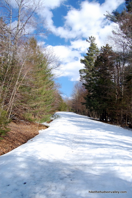
Jered was visiting for a few days from Dallas, and I wanted to take him on a great hike so that he’d realize that living in Texas was stupid, so he’d immediately move back to the East Coast, where he belonged. That plan didn’t appear to be getting off to a great start.
We drove into the park as far as we could, arrived at a closed gate, and then started walking over the snow-covered road toward the parking area that we’d originally intended to use, which was about a mile away.
“There’s no way this hike is happening,” I said. Jered called me a wimp, and we just kept trudging through the snow.
As it turned out, the trails were mostly melted, so we were able to get in a great hike, but we didn’t get as far as we’d initially intended. You can make an approximately 6-mile loop out of this hike by going up to North Point and taking the Mary’s Glen Trail all the way back to the main road that runs around the park, then taking a left to get back to your car, but we weren’t able to do that, so I can’t provide a description for that hike, though I’d like to get back there and do that one of these days.
(If you aren’t too cheap to buy the New York-New Jersey Trail Conference map set for the Catskills, you could easily chart that loop hike out for yourself. Be prepared for a section of very steep rock scrambling as you get close to North Point.)
What I can provide, though, is a trail guide for an excellent 4-mile up-and-back hike to no fewer than four incredible overlooks. We may not have gotten in the full hike we were hoping to do, but maybe that was for the best. Our brains might have suffered overload issues if we’d seen any more awesome views that day.
Though we didn’t see another soul back on the trails, from what I understand, this place is very busy in the summertime, with hundreds of campers and swimmers hanging out around the lakes. The further you get back onto the trails, though, the less people you’ll see.
In a related note, Jered just moved back to Philly, so he’ll be spending more weekends hiking in the Hudson Valley soon. This hike probably can’t take all the credit, but it sure didn’t hurt.
UPDATE August 2013: Finally got the North Point trail guide completed! It’s an extension of this (Newman’s Ledge) hike, making it a 7-mile loop instead of a 4-mile up-and-back affair. Both are great hikes – enjoy whichever one you pick!
Trail Guide
Bonus unsolicited advice: Don't depend on having cell service in the woods - it can be spotty out there! Download this trail guide to your phone before you head out. (It's easy to do on iPhone and Android.) May your connection to nature be strong, even when your connection to the internet is weak.
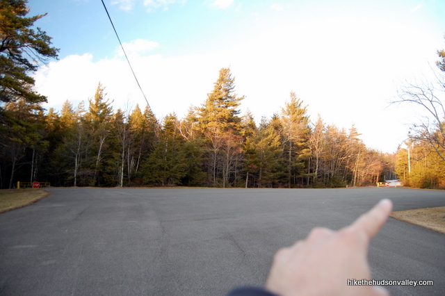
1. From the parking area, walk to the back-right corner of the parking lot, away from the lake and the picnic pavilion, where there’s a gate with a stop sign. Walk past the gate to hop on the Yellow Trail as it heads toward the site of the old Catskill Mountain House, our first destination.
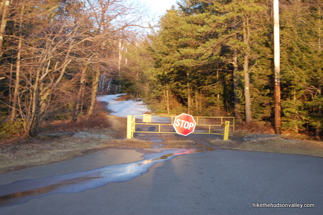
2. In a minute, arrive at a junction with the Blue Trail. You’ll be seeing this junction again (twice, actually) before the end of the day. For now, keep heading straight, joining the Blue Trail and walking toward the Catskill Mountain House, which is just a hop-and-a-skip further.
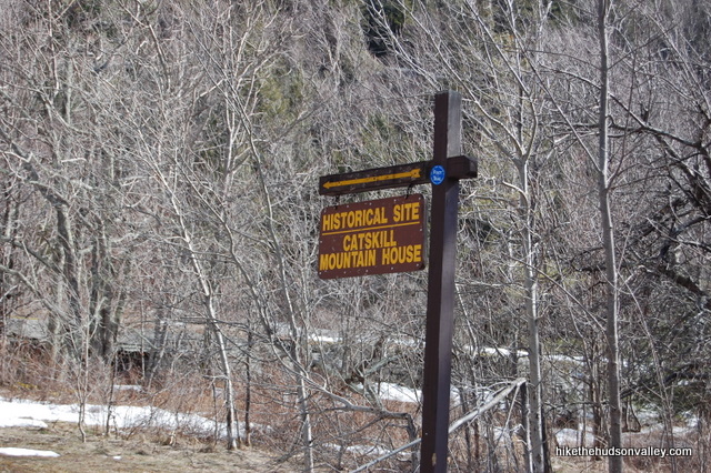
3. Blammo! Your first view, and you didn’t even have to earn it. Walk across the open field to a huge ledge with wide views of Hudson Valley below. Take your time (and plenty of pictures) here. Read the sign on the right side of the field to find out some historical information about the Catskill Mountain House, if you can tear your eyeballs off the view for long enough.
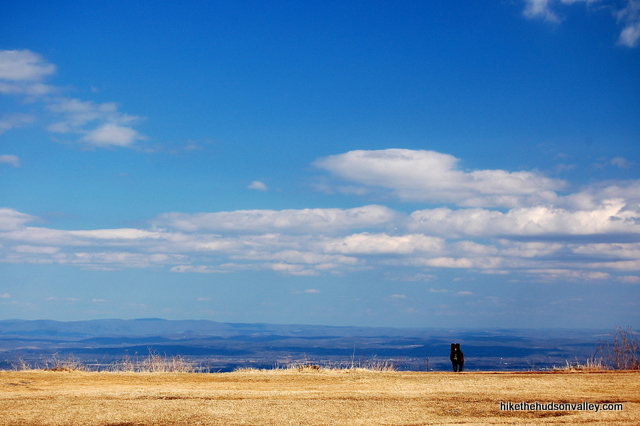
4. When you’re done checking it out, head back across the field to the junction you just came from. Take a right at the junction to follow the Blue Trail towards, well, towards something. The day we were here, the sign was missing. But it’s a short trail that heads downhill to another parking lot, where you’ll pick up the scent of some more signposts with actual signs on them.
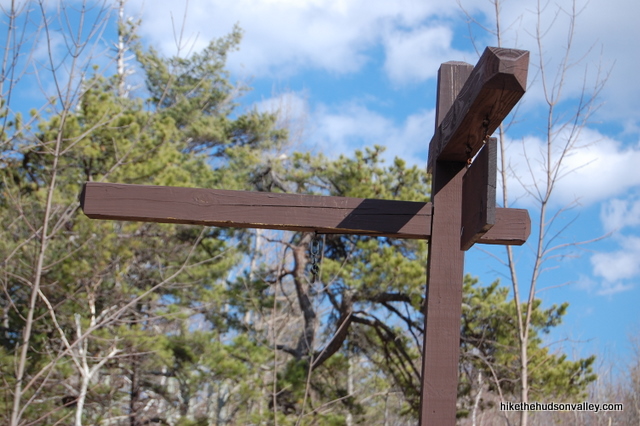
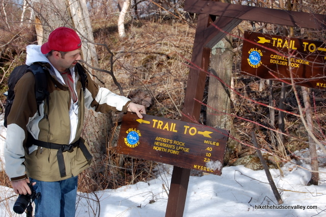
5. After wandering downhill for a short stretch, the Blue Trail opens out onto another parking lot, with a sign pointing towards the Blue Trail with mileage estimates for Artist’s Rock (.4 miles), Newman’s Ledge (1.0 miles) and North Point (2.3 miles). We’ll also be visiting Sunset Rock via a short spur trail, so your roundtrip mileage back to this point will be a little more than double those estimates. We only made it to Newman’s Ledge, so that’s where this trail guide leaves off, but if you’re feeling especially spry today, and there’s not a foot of snow on the ground in some places, North Point could be a doable destination.
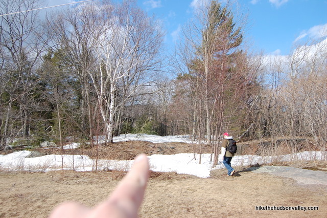
6. The Blue (Escarpment) Trail re-enters the woods on the far side of the parking lot. It can be a little tough to spot it from far away, but just walk straight across the clearing and you’ll see the Blue Trail continuing just to the right of a decent-sized birch tree.
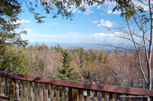
7. Follow the Blue Trail as it winds past some picnic areas, with a decidedly non-picturesque chain link fence to your right. Just past the fence, you’ll find a nice little porch with a view.
8. A couple minutes past the porch, take a moment to register.
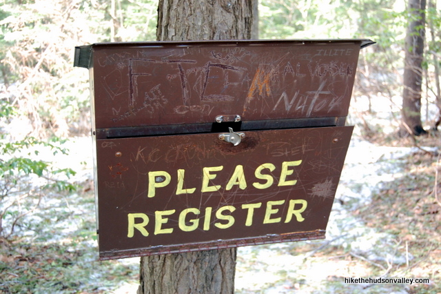
9. From the registration box, it took us nine minutes to reach Artist’s Rock. This hike will never leave you wanting for views for very long.
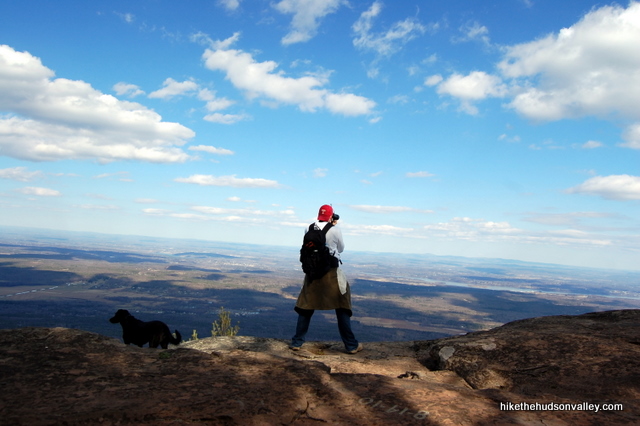
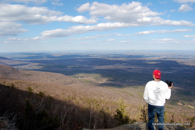
If the awesome views at Artist’s Rock inspire you to whip out an easel, nobody would blame you.
10. After you’ve soaked in the view, keep going on the Blue Trail. Our next destination is Sunset Rock. In about ten minutes, you’ll find yourself walking beneath some interesting cliffs on your right. Sunset Rock is up on top of those cliffs, and the trail will swing up there in just a few moments.
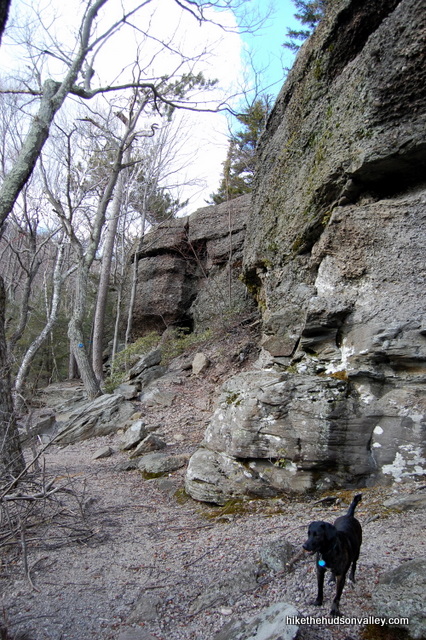
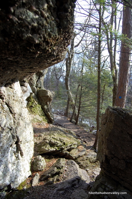
11. Just beyond the cliffs, the trail dips into a grove of pines. When we were here in early April, the snow was about a foot deep here, with a thick crust on top, and we’d fall through about every fifth step. Hopefully, the weather will be better on your visit.
In any event, keep an eye out for the Yellow Trail to Sunset Rock (with a sign indicating that Sunset Rock is .3 miles away), departing to your right. When you see it, turn right to hop on the Yellow Trail.
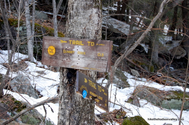
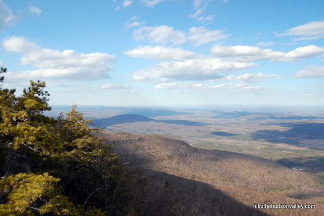
12. On your left, as you pick your way through the pines, a view opens up in just a moment. If you hadn’t already been spoiled by the other views so far, you’d be pretty impressed by this one.
13. Keep walking down the Yellow Trail to find Sunset Rock on your right, just a few minutes from where the Yellow Trail began. Sunset Rock is not marked, but you’ll know it when you see it – a huge ol’ rock just plunked down there, waiting for you to come sit on it.
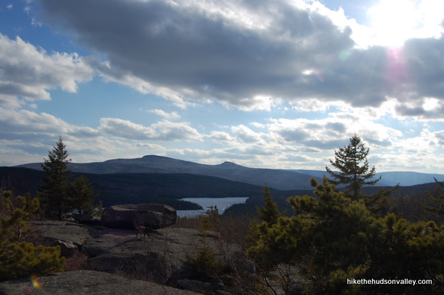
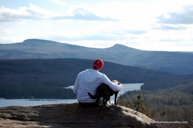
After all the awesome views across the Hudson Valley, it’s a nice change of pace to enjoy the completely new views overlooking North-South Lake and more of the Catskills beyond.
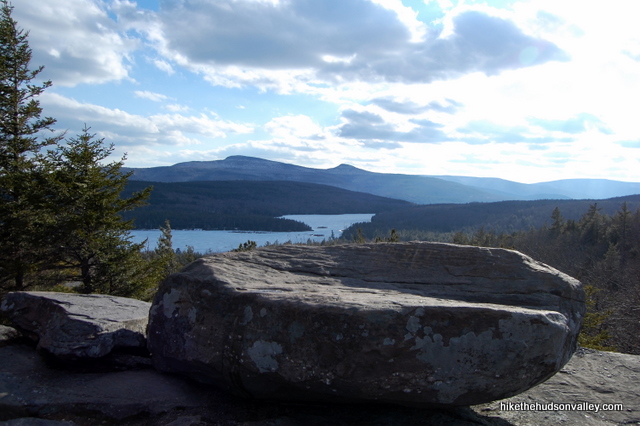

14. When you’re finished enjoying the scene at Sunset Rock, retrace your steps along the Yellow Trail to rejoin the Blue Trail.
15. Back at the Blue/Yellow Junction, turn right to hop on the Blue Trail. The sign tells you that Newman’s Ledge is a mere .2 miles away. North Point is a steep 1.6 miles from here.
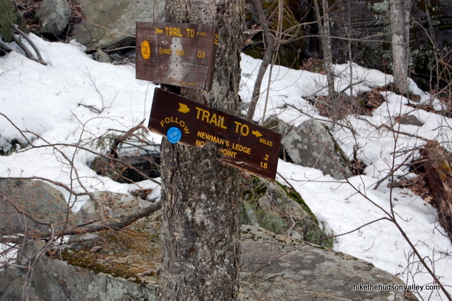
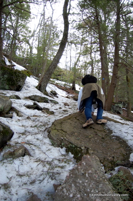
16. The trail gets steeper as you near Newman’s Ledge. Newman!
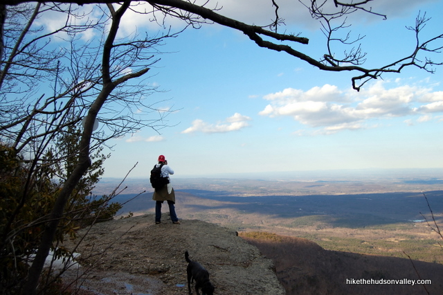
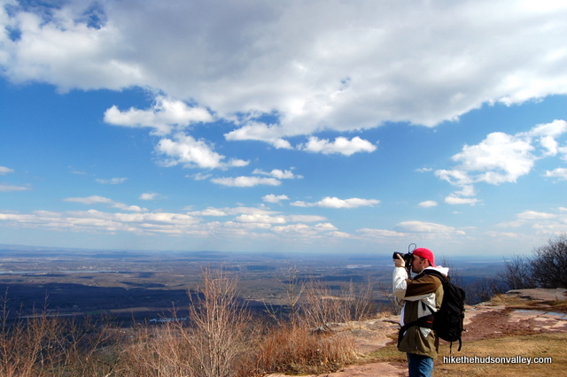
17. In just a few more minutes, another awesome view spreads before you at Newman’s Ledge. Careful here – it’s not called Newman’s Plains. This place is a cliff with a huge, sheer drop.
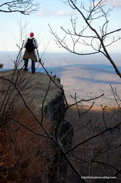

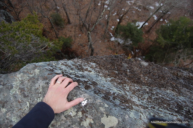
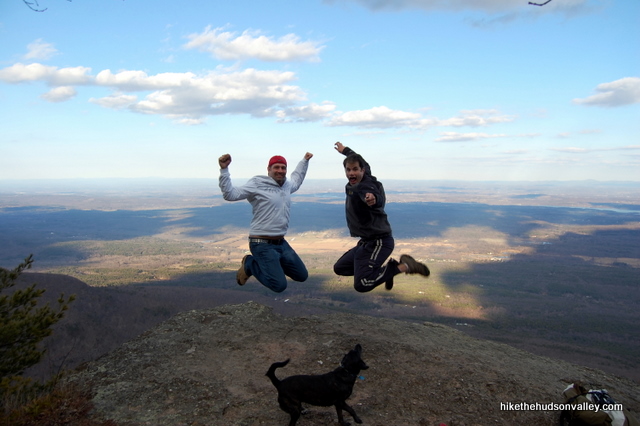
If you’re an idiot (and so is the friend you’re hiking with) use a small tripod and a remote control to take a picture that could either be used in an old Toyota commercial, or alongside your names in the next iteration of the Darwin Awards.
18. From here, I will recommend turning around, retracing your steps and heading back to your car, taking the Blue Trail all the way back to the Yellow Trail junction next to the Catskill Mountain House site, where you’ll turn right to head back to your car. This route is the only hike I’ve done here, so I can’t pretend to know what lies beyond Newman’s Ledge. UPDATE August 2013: Now I can! Pretend to know, that is. If you want to keep going from here, you can hop over to the North Point trail guide and skip down to Step 18 to keep going. Rock and roll!
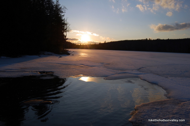
You can also head past your car for a few hundred yards to take in the views from the shore of South Lake, which must be a hoppin’ place in the summertime.
In theory, you can keep hiking on the Blue (Escarpment) Trail from Newman’s Ledge for another mile up to North Point, which is supposed to have even more awesome views. There’s also a place called Bad Man’s Cave up there, which looks cool from what I can tell of other people’s Flickr pics. From there, you could retrace your steps, or attempt to make a loop by hanging a left on the red-blazed Mary’s Glen Trail, which would bring you all the way back to the loop road around North-South Lake. In theory, taking a left on this road would bring you back to your car and complete a 6- or 7-mile loop.
I plan to come back here and try that one of these days, but until then, the only definite course of action I can recommend is heading back to your car from Newman’s Ledge, or heading back from North Point, if you’re game for a much more difficult hike. (I’ve seen warnings to prepare yourself for some dog-carrying if you attempt to get to North Point with your pooch.)
Whatever you choose to do, I hope you enjoyed visiting what is surely one of the nicest hikes in the Hudson Valley. Or anywhere else, for that matter.
Directions
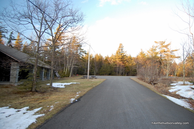
Directions to the trailhead: From Palenville, take Route 23A west as it climbs into the Catskills beside Kaaterskill Creek. In about 3.5 miles, you’ll come around a hairpin turn with Bastion Falls and the Kaaterskill Falls trailhead to your right. Continue up the hill another 1.5 miles to a right turn onto County Route 18 (North Lake Road). Follow this road all the way into the park. After you pass Scutt Road on your right and go past the guardhouse, turn right at the first fork inside the park to head south around the lakes. Follow this road past a large parking area on your left and keep following until it dead-ends in another large lot, just past a big picnic pavilion on your left. Park here, and see the trailhead in the back-right corner of the lot.
You can also get directions by checking out the North-South Lake: Newman’s Ledge entry on the HiketheHudsonValley.com Google map.
Sorta nearby address for your GPS: The Brookside Bed & Breakfast is on County Route 18 (North Lake Road), about a mile from the park entrance. Its address is:
93 North Lake Road
Haines Falls, NY 12436
Just keep heading straight after you pass the B&B, and you’re good to go.
GPS coordinates of parking area: 42.19611, -74.03878 (Clicking will open in Google Maps or the Apple Maps app, depending on your browser/device.)
Resources & Interactives
Related resources: If you’re looking for actual facts and/or useful information, visit these resources:
- The official NYS DEC North-South Lake page
- The very informative Catskill Escarpment Wikipedia page
- The DEC’s PDF map of the North-South Lake campgrounds
- For curiosity’s sake, check out the insane people who run the entire 18.6-mile Escarpment Trail
Want to support trails in the Hudson Valley? Here’s one great way: Visit the New York-New Jersey Trail Conference homepage and click on Volunteer, Donate, or Shop! (Then you can volunteer, donate, or shop, depending on your mood.)

As of Saturday, this trail and everything in the area was covered in about 2″ of soft ice.
As other commenters have mentioned in previous years, the gate at the SW side of the lake is closed, so you have to start your hike there, which adds about 1/2 mile each way.
We made it as far as the first scramble before deciding that it was too icy to continue safely, but the early part of the hike was wonderful. Instead of walking the main road back from the trailhead to our car, we took the green trail toward North Lake from the parking lot and followed it through the woods to the picnic area on South Lake. I highly recommend this — the forest here is magical, especially with the ice and snow. From there, we walked across the frozen lake to our car, which I found terrifying, but we survived and it was very beautiful.
Regarding your pooch proof issues, as I understand it this is standard operating procedure at all NY State campgrounds (even if you’re just a day visitor). We stayed at Kenneth L. Wilson this week and unless your rabies tag has the current year’s date on it, you will need proof that the vaccinations are still good. We didn’t have to get a fax, but they did call our vet for confirmation. If you don’t have your paperwork, be sure to have your vet’s number, ours is on the rabies tag itself.
Is this trail still accessible when North South Lake is closed for the season? I know some trails in other places can be accessed regardless of whether or not the park is open. Thanks!
I was there last week and they had the gate closed on the southwest side of the lake. So it’s about 1/2 mile walk to where the trail starts.
Really nice hike with each view better than the last! FYI… They had the gate closed on the southwest side of the lake so we had to park there and start our adventure. From this point to the beginning of the trailhead was just over 1/2 a mile so make sure you account for this during your trip.
This is how I plan on spending all my Black Fridays!
$10 now but absolutely gorgeous and totally worth it!!!!
This trail looks awesome! Did you encounter any bears or snakes on the trail? I’m planning on going in early June.
It is awesome! I didn’t encounter any snakes or bears here, but both are possible in this area. Catskillmountaineer.com lists this area as low risk for snakes, but high for bears (http://www.catskillmountaineer.com/hiking-escarpment-SE.html). There’s also a great page there with heaps of information about how to avoid bears and what to do if you encounter one: http://www.catskillmountaineer.com/animals-bears.html.
Hope that helps – enjoy your trip!
Wow, thank you so much for this! Very well done! I’m going to hike the Catskills for the first time tomorrow and this tells me exactly what to expect.
Awesome! Really glad to hear it, Jordan. Hope you had a great day out there.